

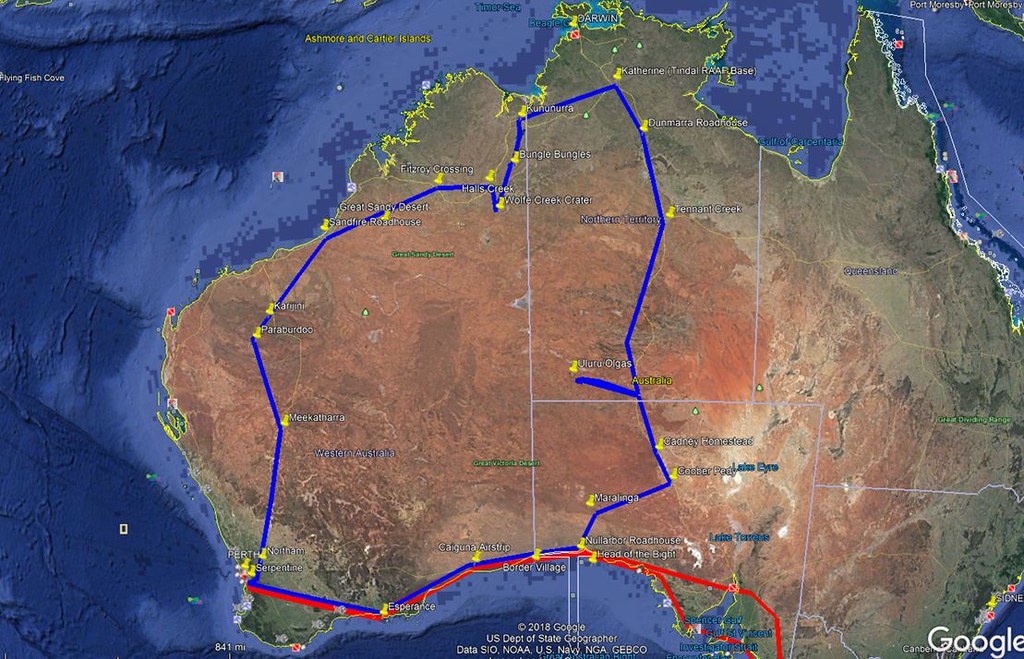
I recently flew my RV-12 from my home airfield near Perth in Western Australia, east along the coast into South Australia, and then up into the Northern Territory, finally coming back home through the`top end' of WA.
While it's hard to complete with Vlad when it comes to informative and entertaining trip write-ups, I thought the unique country down here might justify the attempt.
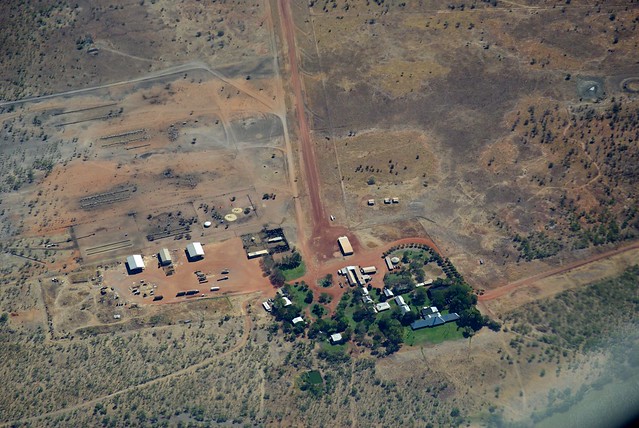
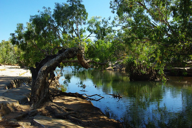
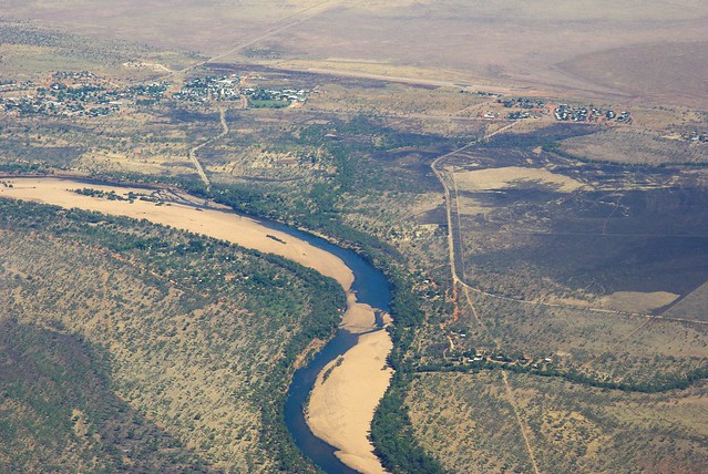
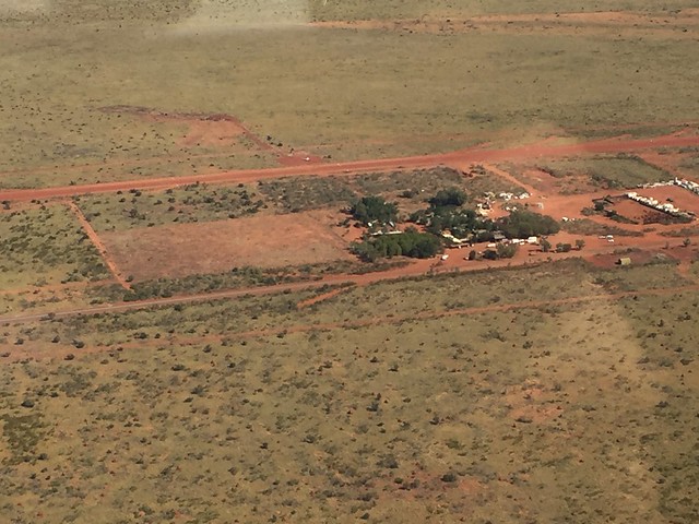
The plan was to visit my daughter and son-in-law who were recently posted to the small town of Katherine in the Northern Territory, about 300 km SE of Darwin. He's in the RAAF and works on the FA-18 Super Hornets that are based at Tindal, just outside Katherine. Tindal is military air space, but the airfield also accommodates civilian aircraft, so I was able to land there. US and other foreign military aircraft often operate out of there when staging or participating in joint exercises.
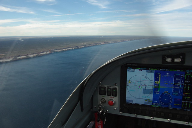
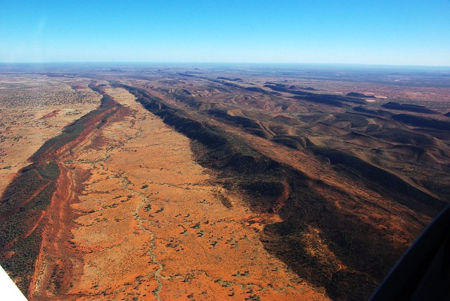
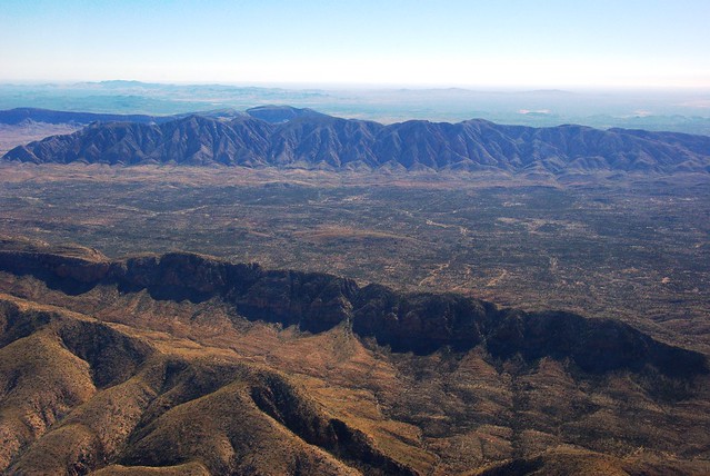
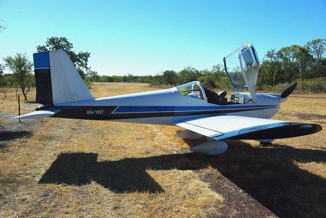
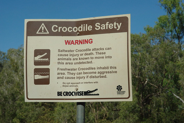
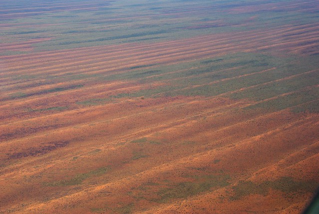
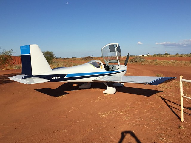
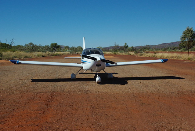
I covered about 4,300 nm over a four week period including a couple of weeks in Katherine. Much of this part of Australia is classified as a Designated Remote Area requiring you carry appropriate survival gear and ELT/PLB or HF radio. Airstrips and refuelling facilities are typically few and far between, so you need to plan accordingly. My RV-12 has a modified fuel tank with just over 25 gal capacity, which gives at least 4 hours endurance plus reserves. With this setup, the RV-12 is a very practical aircraft for travelling in this part of the world.
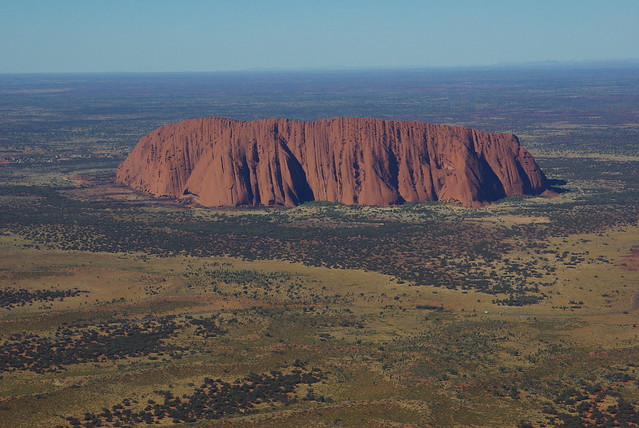
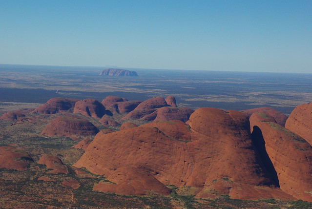
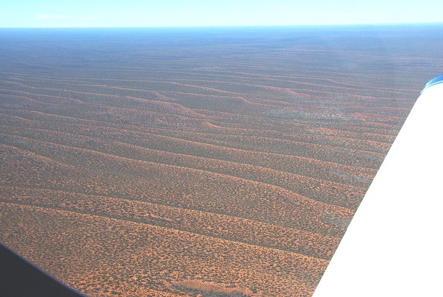
The route is marked in blue, travelling anti-clockwise to make use of the prevailing winds. (The red line was a trip I did in 2016). It's clear from the map why this part of the country is often called the `Red Centre'.
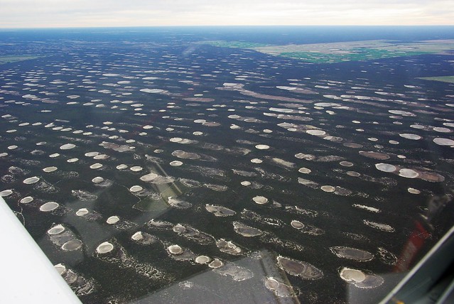
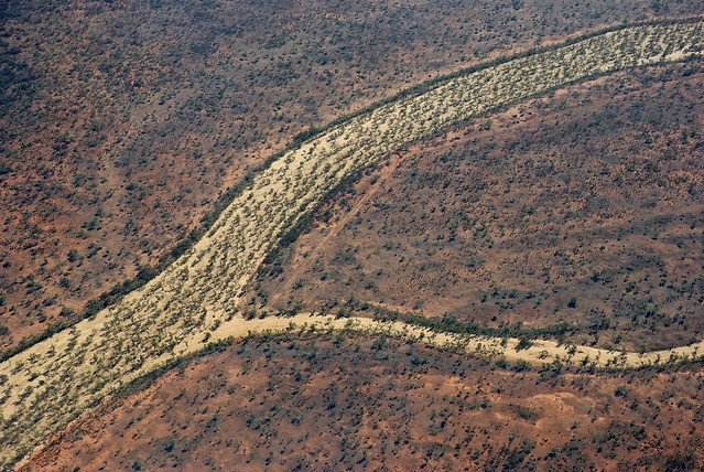
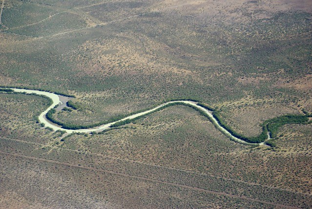
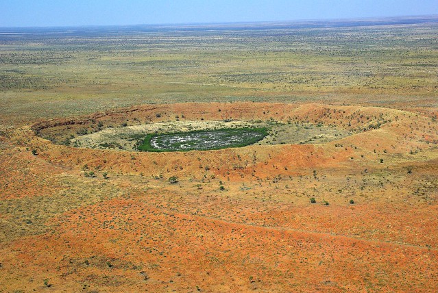
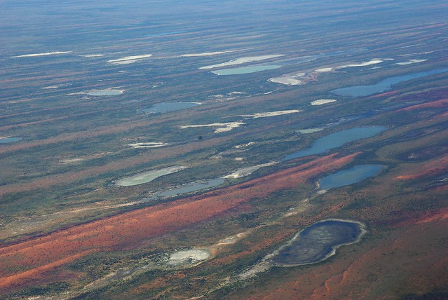
Unique rock waterholes near Esperance on the south coast of WA.
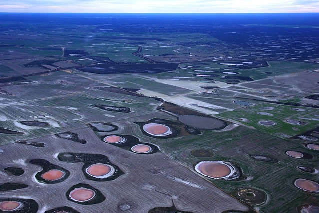
There are hundreds of them.
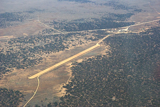
A typical outback airstrip on the Nullarbor - largest treeless plain in the world. This is the strip at Caiguna, a roadhouse at the eastern end of what is regarded as the longest straight stretch of road in Australia and one of the longest in the world. The road stretches for 146.6 kilometres (91.1 mi) without turning, and is signposted and commonly known as the "90 Mile Straight".
These strips may not be useable after rain, so it's a good idea to ring ahead before taking off to avoid any nasty surprises. There's always the highway that could be used in an emergency. In fact the RFDS (Royal Flying Doctor Service) has several airstrips marked on isolated sections of the highway where police and ambulance services coordinate to enable patients, usually traffic accident victims, to be flown to hospital.
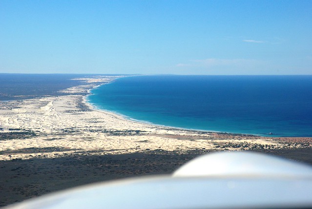
Cruising along the cliffs at the southern edge of the continent. These cliffs are up to 300 feet high.
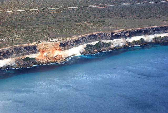
The head of the Great Australian Bight. The most northerly part of the southern coastline and the end of the Nullarbor cliffs. Also a whale breeding ground. I saw about nine whales close inshore under the cliffs.
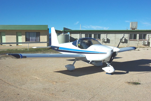
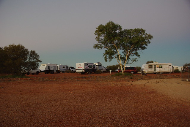
Parked outside the motel units at Nullarbor Roadhouse, my most easterly stop before heading north into the desert. These roadhouses usually have camping grounds and other accommodation available. Aircraft that use Mogas sometimes taxy around to the fuel bowsers and queue up with the cars to refuel, but I preferred to carry my fuel rather than battle with the other traffic.
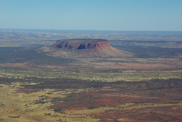
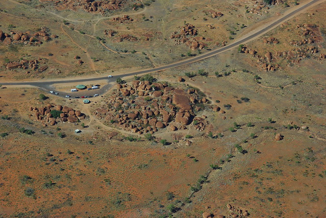
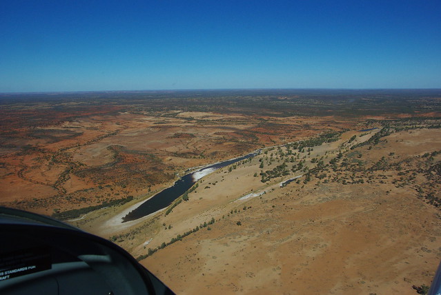
Maralinga - site of the British atom bomb tests in the 1950's and early 60's. Apparently the Brits didn't have a backyard big enough, so they came and used ours!
There is a beautiful sealed runway visible in the distance, but you need permission to land there.
While it's hard to complete with Vlad when it comes to informative and entertaining trip write-ups, I thought the unique country down here might justify the attempt.
The plan was to visit my daughter and son-in-law who were recently posted to the small town of Katherine in the Northern Territory, about 300 km SE of Darwin. He's in the RAAF and works on the FA-18 Super Hornets that are based at Tindal, just outside Katherine. Tindal is military air space, but the airfield also accommodates civilian aircraft, so I was able to land there. US and other foreign military aircraft often operate out of there when staging or participating in joint exercises.
I covered about 4,300 nm over a four week period including a couple of weeks in Katherine. Much of this part of Australia is classified as a Designated Remote Area requiring you carry appropriate survival gear and ELT/PLB or HF radio. Airstrips and refuelling facilities are typically few and far between, so you need to plan accordingly. My RV-12 has a modified fuel tank with just over 25 gal capacity, which gives at least 4 hours endurance plus reserves. With this setup, the RV-12 is a very practical aircraft for travelling in this part of the world.
The route is marked in blue, travelling anti-clockwise to make use of the prevailing winds. (The red line was a trip I did in 2016). It's clear from the map why this part of the country is often called the `Red Centre'.
Unique rock waterholes near Esperance on the south coast of WA.
There are hundreds of them.
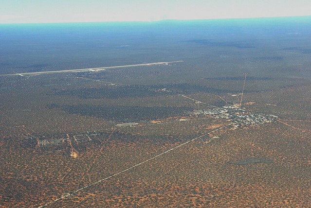
A typical outback airstrip on the Nullarbor - largest treeless plain in the world. This is the strip at Caiguna, a roadhouse at the eastern end of what is regarded as the longest straight stretch of road in Australia and one of the longest in the world. The road stretches for 146.6 kilometres (91.1 mi) without turning, and is signposted and commonly known as the "90 Mile Straight".
These strips may not be useable after rain, so it's a good idea to ring ahead before taking off to avoid any nasty surprises. There's always the highway that could be used in an emergency. In fact the RFDS (Royal Flying Doctor Service) has several airstrips marked on isolated sections of the highway where police and ambulance services coordinate to enable patients, usually traffic accident victims, to be flown to hospital.
Cruising along the cliffs at the southern edge of the continent. These cliffs are up to 300 feet high.
The head of the Great Australian Bight. The most northerly part of the southern coastline and the end of the Nullarbor cliffs. Also a whale breeding ground. I saw about nine whales close inshore under the cliffs.
Parked outside the motel units at Nullarbor Roadhouse, my most easterly stop before heading north into the desert. These roadhouses usually have camping grounds and other accommodation available. Aircraft that use Mogas sometimes taxy around to the fuel bowsers and queue up with the cars to refuel, but I preferred to carry my fuel rather than battle with the other traffic.
Maralinga - site of the British atom bomb tests in the 1950's and early 60's. Apparently the Brits didn't have a backyard big enough, so they came and used ours!
There is a beautiful sealed runway visible in the distance, but you need permission to land there.
")

