Tandem46
Well Known Member
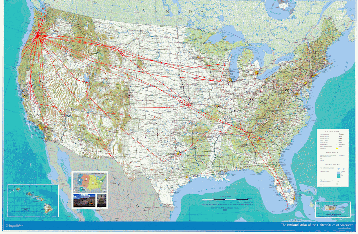
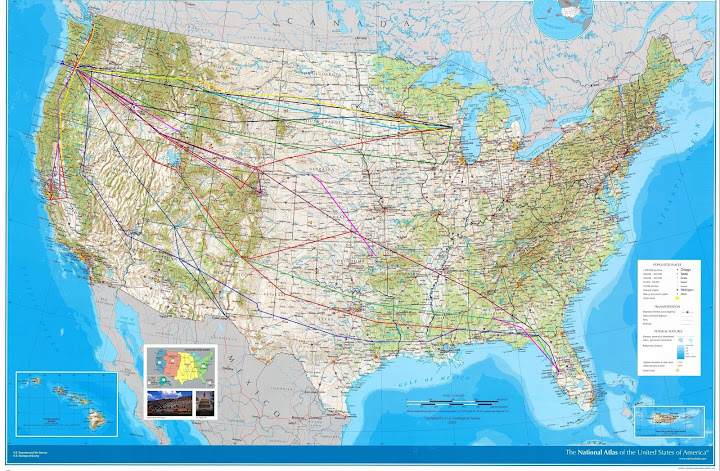
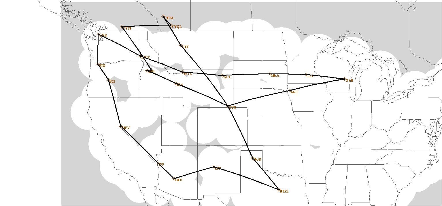
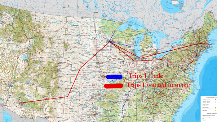
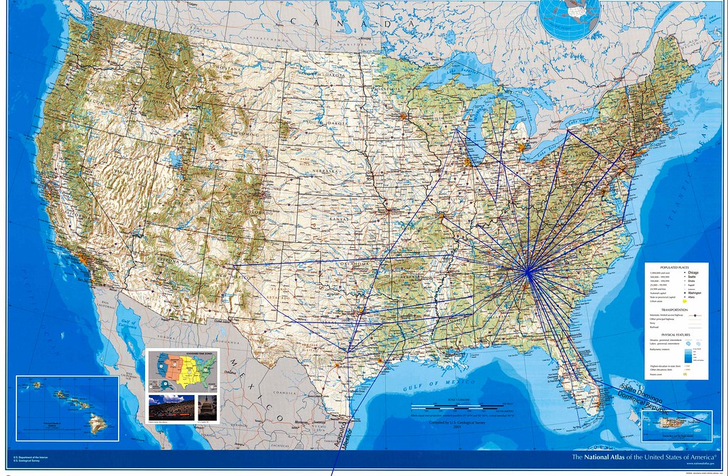
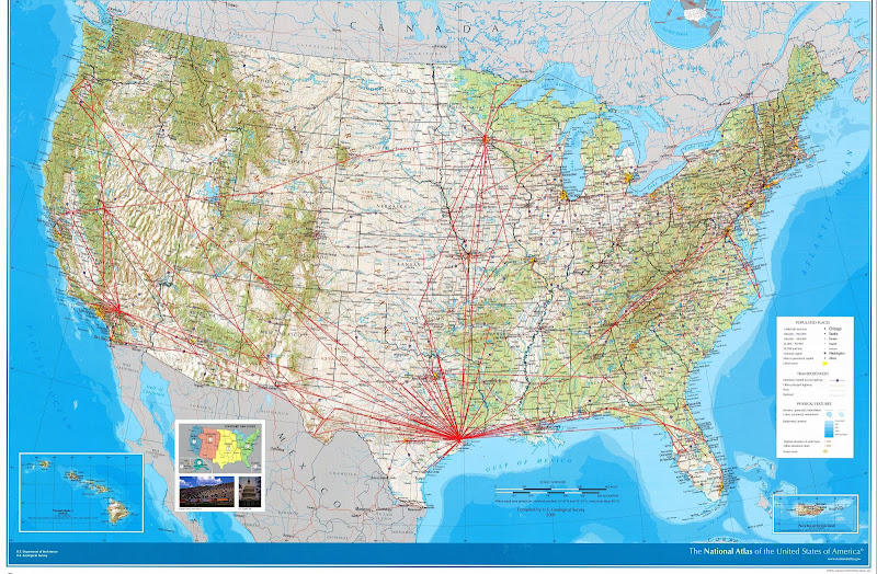
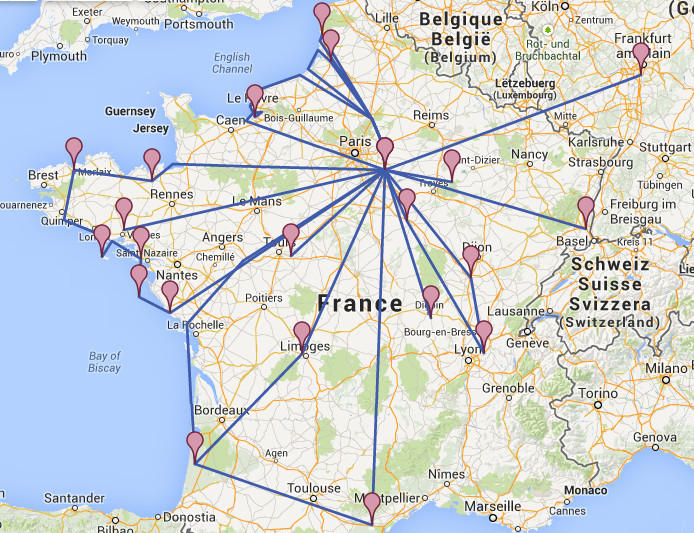
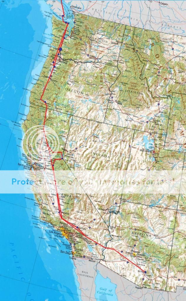
The recent long range travels of Paul/Louise, Vlad, the Cards, etc, etc, got me thinking about a way to graphically document all the places we've been in our RVs. Jayne and I have a wall map at home with pins showing all the places we've visited, but I was thinking something more along the lines of a route map like those used by the airlines. Google didn't turn up much except for a "paid" site that looks like it is geared more towards commercial type flying. A very labor intensive way is to just get a map off line and manually draw lines from memory of the trips one has taken. That's what I did below, although it's somewhat an estimate than exact routing. What would be perfect would be a program where one could just enter airport identifiers and have the computer do the rest. Anyone have a better way/idea?

")