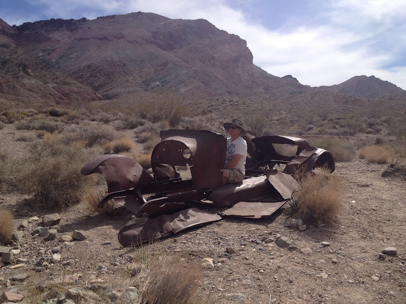
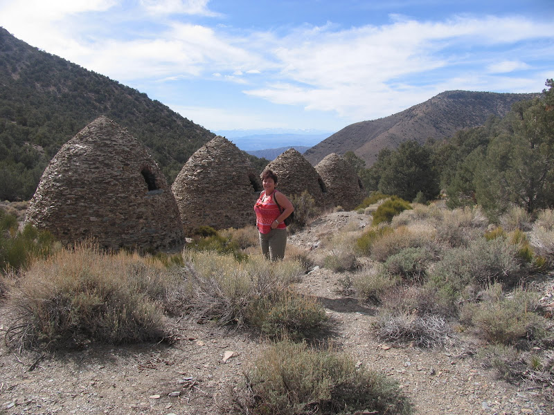
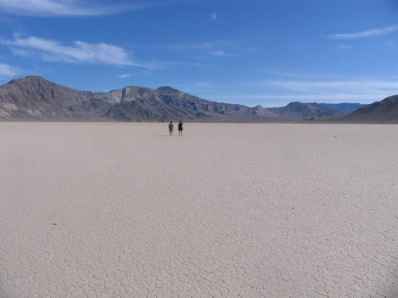
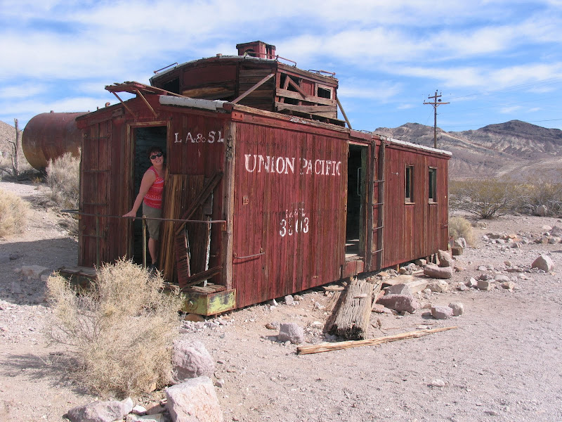
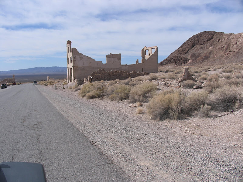
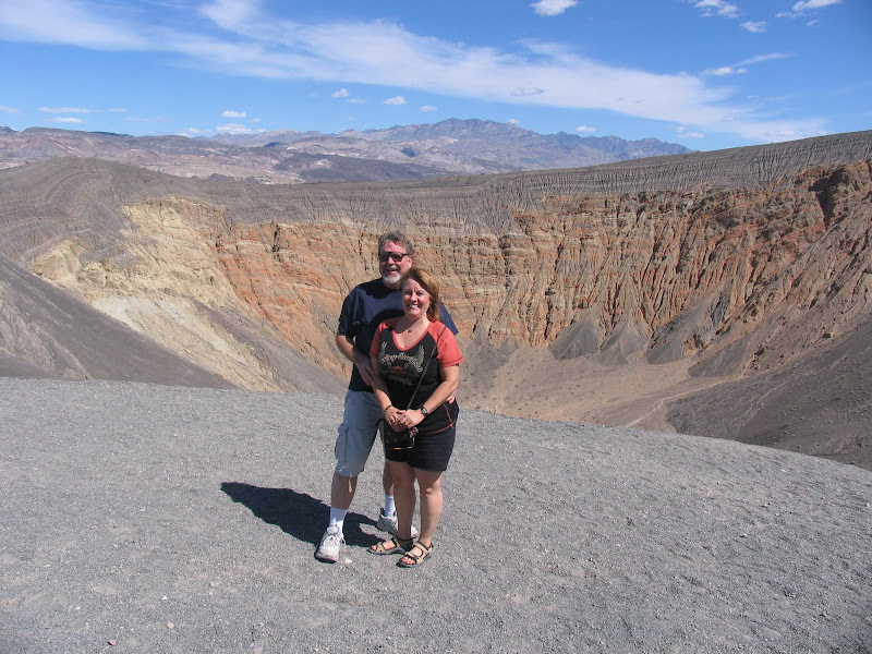
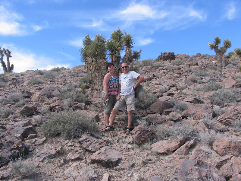
Just a few pictures from our trip to Death Valley a couple of days ago.
Other have described their experience in much more eloquent terms but I'll let the pictures tell the story. Departing Concord CA and flying south east to Madera then over the massive Sierra Nevada.
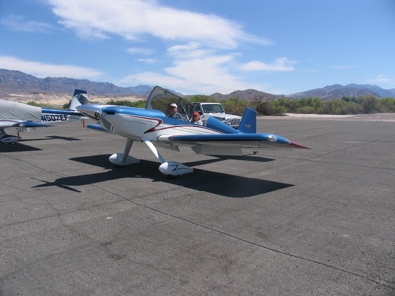
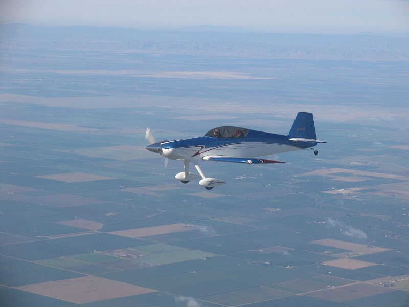
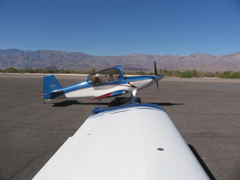
William Black (local RV Guru) with his wife Caroline flying along in his Harmon Rocket to Furnace Creek, Death Valley.
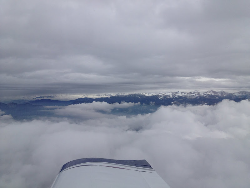
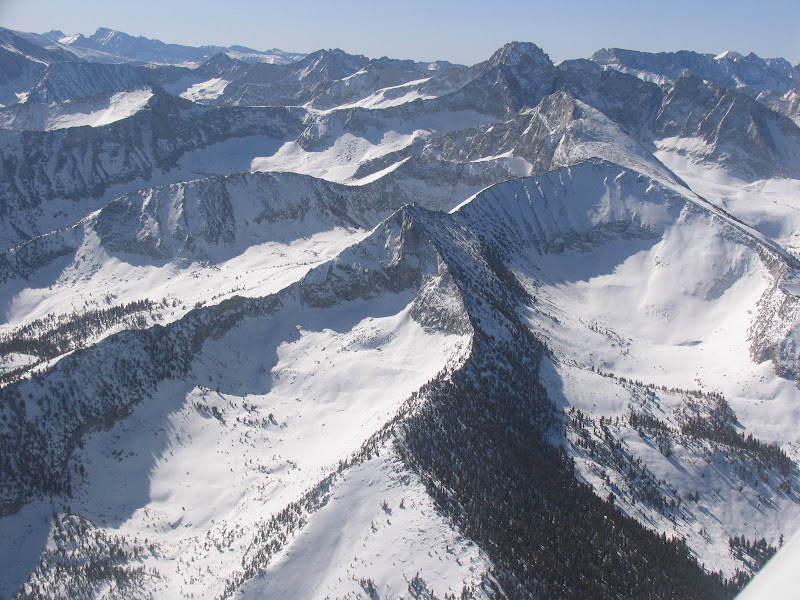
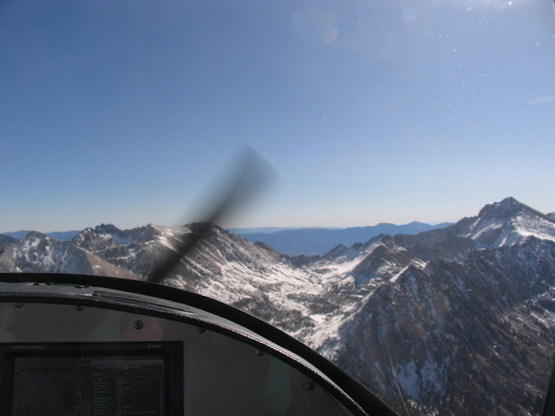
Climbing to 13,500 feet only to be less than 1000 feet AGL traversing a sattle between towering peaks to the north and south, some still higher than our cruising altitude.
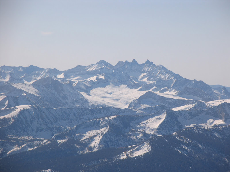
Mount Whitney in the distance, at 14,491 feet, the highest peak in the lower 48.
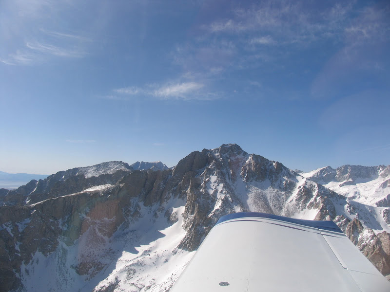
To the south, a peak toping out at 13,900 feet and on our left a junior measuring 13,200 feet.
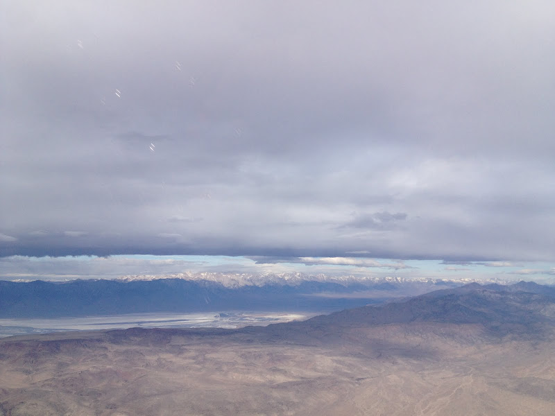
From pine studded slopes and snow covered granite on the west side of the Sierras, Owens Valley, looking like you have entered another planet.
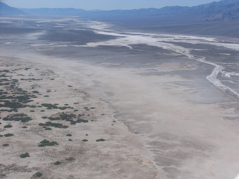
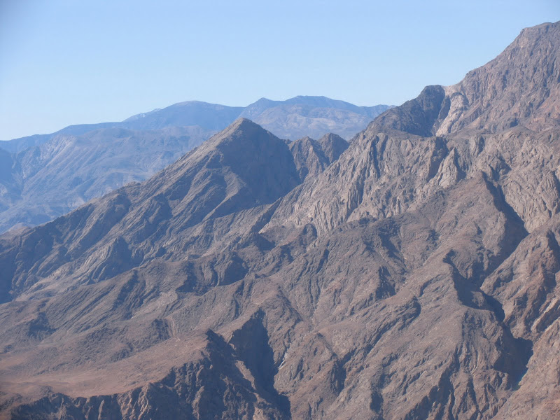
Crossing the Inyo Range flying east, the Saline valley on the left and Panamint Springs on the right, all appear similar, dried out basins with salty deposits left on the lake bed.
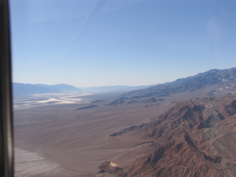
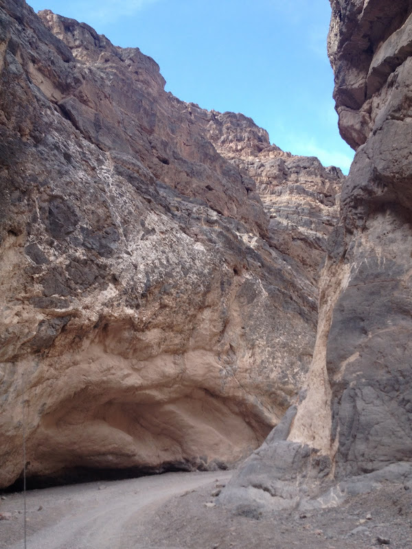
Descending through 3000 feet, just rounding the corner above Stove Pipe Wells where mountain tops of the Panamint Range still reach from 7000 feet to over 9000 feet, less than 30 miles from Death Valley's lowest spot of 282 feet below sea level.
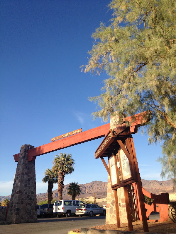
Arrival at Furnace Creek less than 2 hours since leaving Home Base.
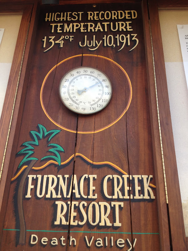
A balmy 90 degrees but a friendly pick up from Furnace Creek Ranch
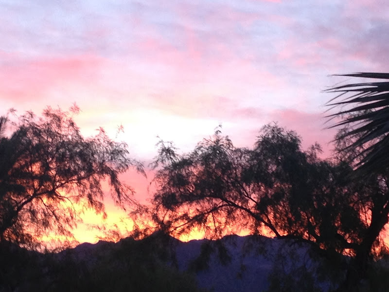
and check in to an air conditioned room. "What a bunch of city sleekers
we have become."
Other have described their experience in much more eloquent terms but I'll let the pictures tell the story. Departing Concord CA and flying south east to Madera then over the massive Sierra Nevada.
William Black (local RV Guru) with his wife Caroline flying along in his Harmon Rocket to Furnace Creek, Death Valley.
Climbing to 13,500 feet only to be less than 1000 feet AGL traversing a sattle between towering peaks to the north and south, some still higher than our cruising altitude.
Mount Whitney in the distance, at 14,491 feet, the highest peak in the lower 48.
To the south, a peak toping out at 13,900 feet and on our left a junior measuring 13,200 feet.
From pine studded slopes and snow covered granite on the west side of the Sierras, Owens Valley, looking like you have entered another planet.
Crossing the Inyo Range flying east, the Saline valley on the left and Panamint Springs on the right, all appear similar, dried out basins with salty deposits left on the lake bed.
Descending through 3000 feet, just rounding the corner above Stove Pipe Wells where mountain tops of the Panamint Range still reach from 7000 feet to over 9000 feet, less than 30 miles from Death Valley's lowest spot of 282 feet below sea level.
Arrival at Furnace Creek less than 2 hours since leaving Home Base.
A balmy 90 degrees but a friendly pick up from Furnace Creek Ranch
and check in to an air conditioned room. "What a bunch of city sleekers
we have become."


")