petehowell
Well Known Member
It's been a long wet spring of work, baseball and lousy weather, so I figured it was time for a trip!
The lovely wife has become a bit addicted to geocaching. She has her own Garmin and an online forum like this one to locate geo-caches.
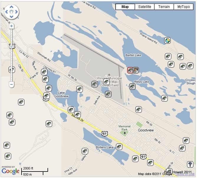
So I figured if i could find an airport with some caches nearby and a place to get a bite to eat, we might have a trip to further enhance marital bliss. I went on line and found the place. 30 min away by RV, crossing runways, lots of caches, and a quirky little place to eat.
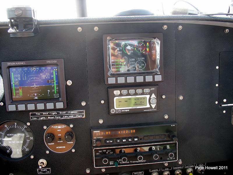
I pitched the idea mid-week and got a thumbs up from the wife, Andi - of course the next day my EMS went south and needed to go back to Dynon for some CPR (by the way, the Dynon guys are great to work with). So I thought I was stuck - but took a chance and put out a call to the local RV crew to see if I could borrow an EMS for a few days. Took about 2 hours to get an offer from Brad Benson - a local RV-6 builder. I bought him some lunch on Friday and walked away with an EMS for the weekend (RV guys are the best!) Plastic left on for protection!
We planned to be wheels up at 9am and at 9:02 just prior to engine start, hangar-mate and RV-7/9 builder Bernie Weiss rolls up with a travel mug of coffee for Andi, making me look like a Schmutz, but making her completely happy!(See, RV guys are great!)
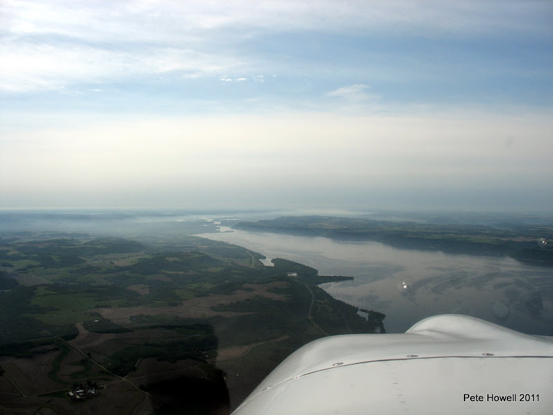
The flight down was smooth and cool, with light fog in the valley of the Mighty Mississip.
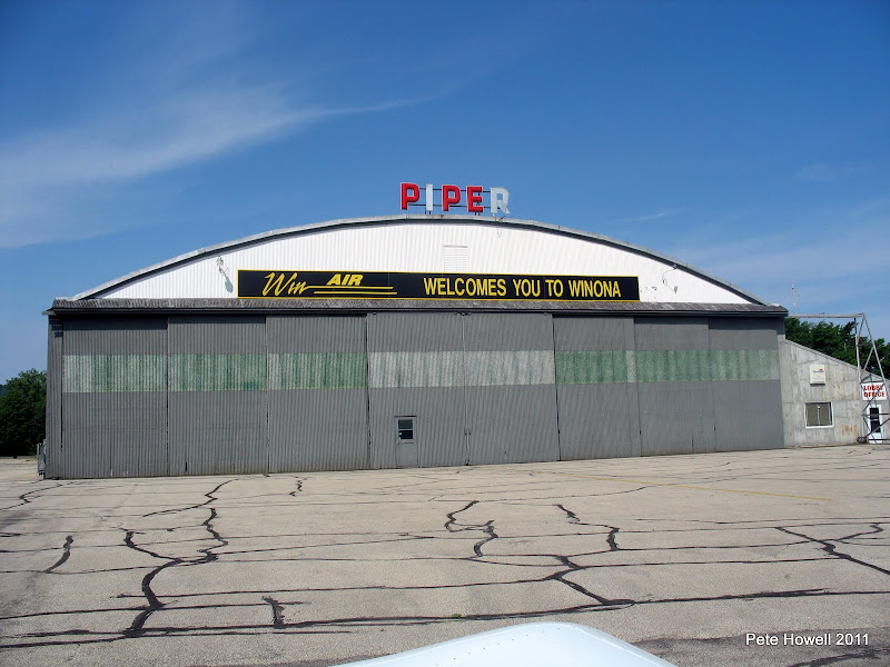
Soon enough, we were turning final for 30 over the river, and parked on a quiet ramp.
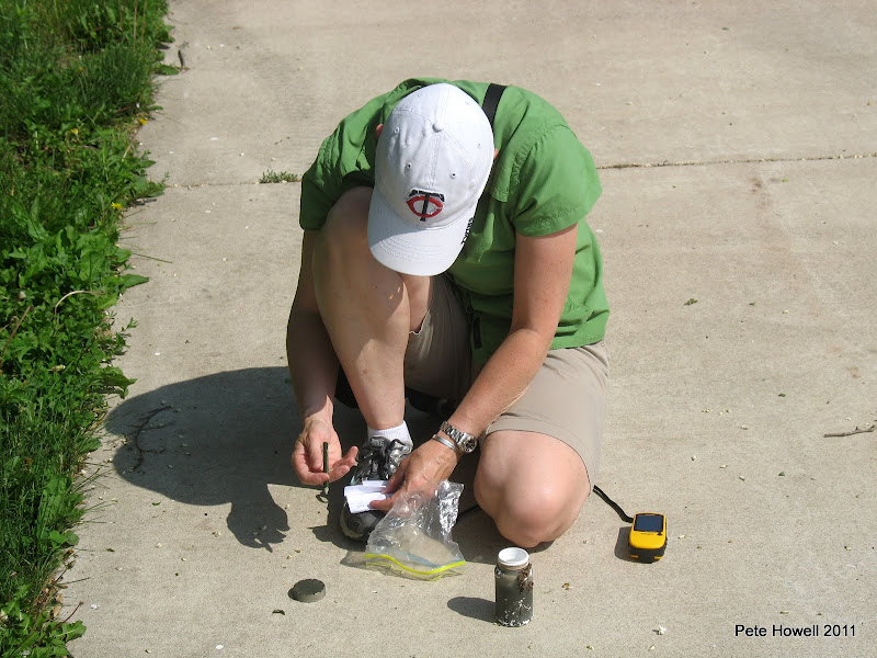
Off to find the caches!! We quickly realized 2 things: 1) the water was very high around the river and might make access hard, and 2) the mosquitoes were swarming. The first cache was a pretty easy find and a real life saver. Ammo box in the crook of a tree.
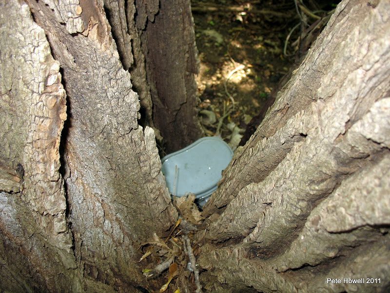
It contained GOLD.....or better yet bug dope!
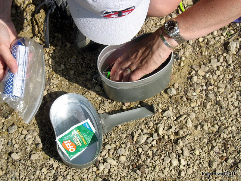
We applied the OFF! and went on to walk several miles and find a bunch of caches. You trade trinkets and sign the finders list - it is all based on the thrill of the hunt!
The honeysuckle was blooming and the smell as we walked was heavenly!

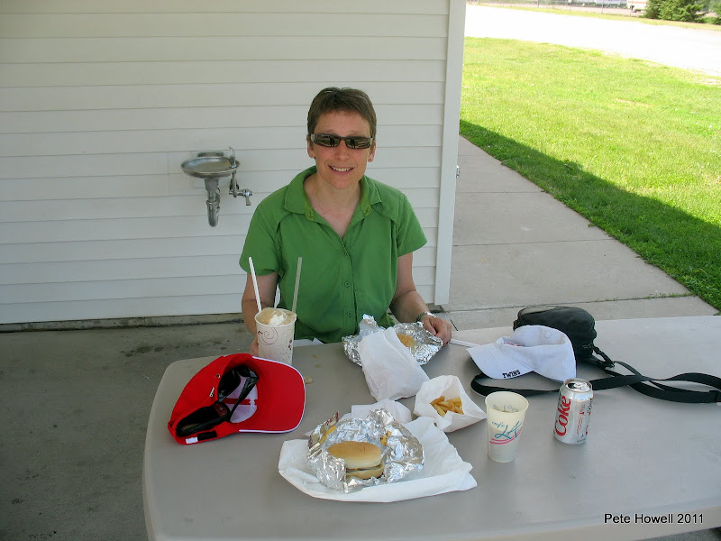
On the way back to the airport, we stopped to grab a bite at the world famous? Penguin Zesto (think Dairy Delight). The cheeseburgers and a root beer float really hit the spot.
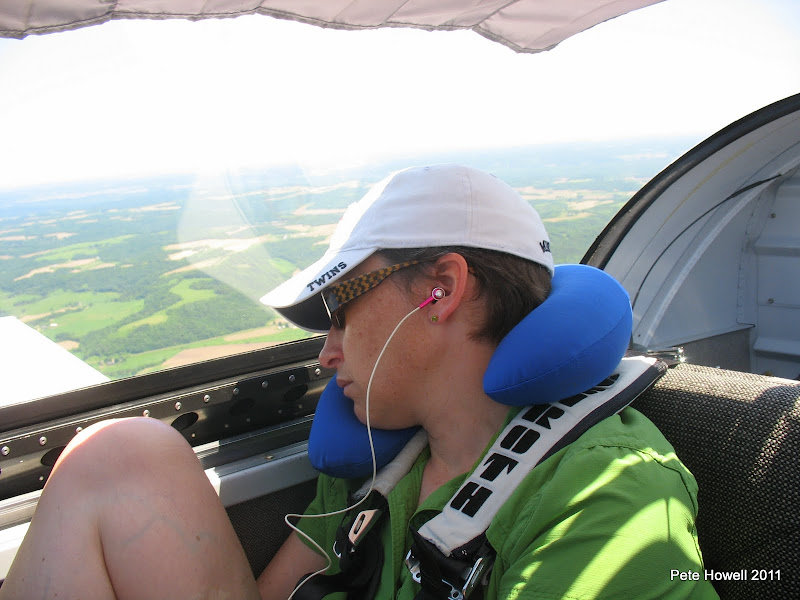
We loaded up and had slightly bumpy ride home - Andi slept of course.
Not sure it will ever be a sanctioned sport, but Aero-caching makes for a pretty dang good day in the RV!!
The lovely wife has become a bit addicted to geocaching. She has her own Garmin and an online forum like this one to locate geo-caches.
So I figured if i could find an airport with some caches nearby and a place to get a bite to eat, we might have a trip to further enhance marital bliss. I went on line and found the place. 30 min away by RV, crossing runways, lots of caches, and a quirky little place to eat.
I pitched the idea mid-week and got a thumbs up from the wife, Andi - of course the next day my EMS went south and needed to go back to Dynon for some CPR (by the way, the Dynon guys are great to work with). So I thought I was stuck - but took a chance and put out a call to the local RV crew to see if I could borrow an EMS for a few days. Took about 2 hours to get an offer from Brad Benson - a local RV-6 builder. I bought him some lunch on Friday and walked away with an EMS for the weekend (RV guys are the best!) Plastic left on for protection!
We planned to be wheels up at 9am and at 9:02 just prior to engine start, hangar-mate and RV-7/9 builder Bernie Weiss rolls up with a travel mug of coffee for Andi, making me look like a Schmutz, but making her completely happy!(See, RV guys are great!)
The flight down was smooth and cool, with light fog in the valley of the Mighty Mississip.
Soon enough, we were turning final for 30 over the river, and parked on a quiet ramp.
Off to find the caches!! We quickly realized 2 things: 1) the water was very high around the river and might make access hard, and 2) the mosquitoes were swarming. The first cache was a pretty easy find and a real life saver. Ammo box in the crook of a tree.
It contained GOLD.....or better yet bug dope!
We applied the OFF! and went on to walk several miles and find a bunch of caches. You trade trinkets and sign the finders list - it is all based on the thrill of the hunt!
The honeysuckle was blooming and the smell as we walked was heavenly!
On the way back to the airport, we stopped to grab a bite at the world famous? Penguin Zesto (think Dairy Delight). The cheeseburgers and a root beer float really hit the spot.
We loaded up and had slightly bumpy ride home - Andi slept of course.
Not sure it will ever be a sanctioned sport, but Aero-caching makes for a pretty dang good day in the RV!!
Last edited:
")