Yesterday, was incredibly beautiful. Sunny, blue skies and had to look for clouds. Decided to take a little flight before my condition/annual inspection.
Took lots of photos, and wouldn't you know it; camera settings were all messed up. Photos didn't turn out at all. Today was cloudy in spots, decided to fly a shorter route and get some photos anyway.
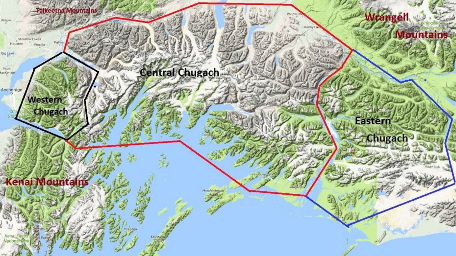
Warning, this thread will have photos, more photos and lots more photos of what it looks like to fly from Kenai to Knik Glacier. The route I chose was about as safe as it could be. Tried to follow roads, known places where people snow machine, along the Alaska Rail Road system, and finally passes where help might be available. Once you see the mountains I was flying over you'll understand.
I used to fly Huey helicopters for the Alaska Army National Guard in the mid 1980's. Flew these routes several times.
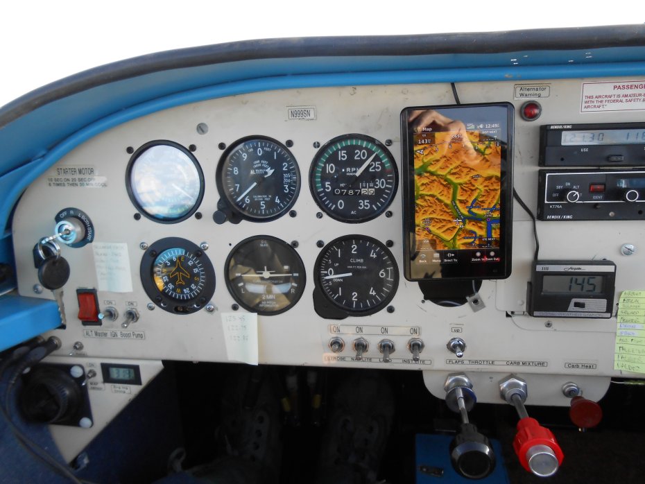
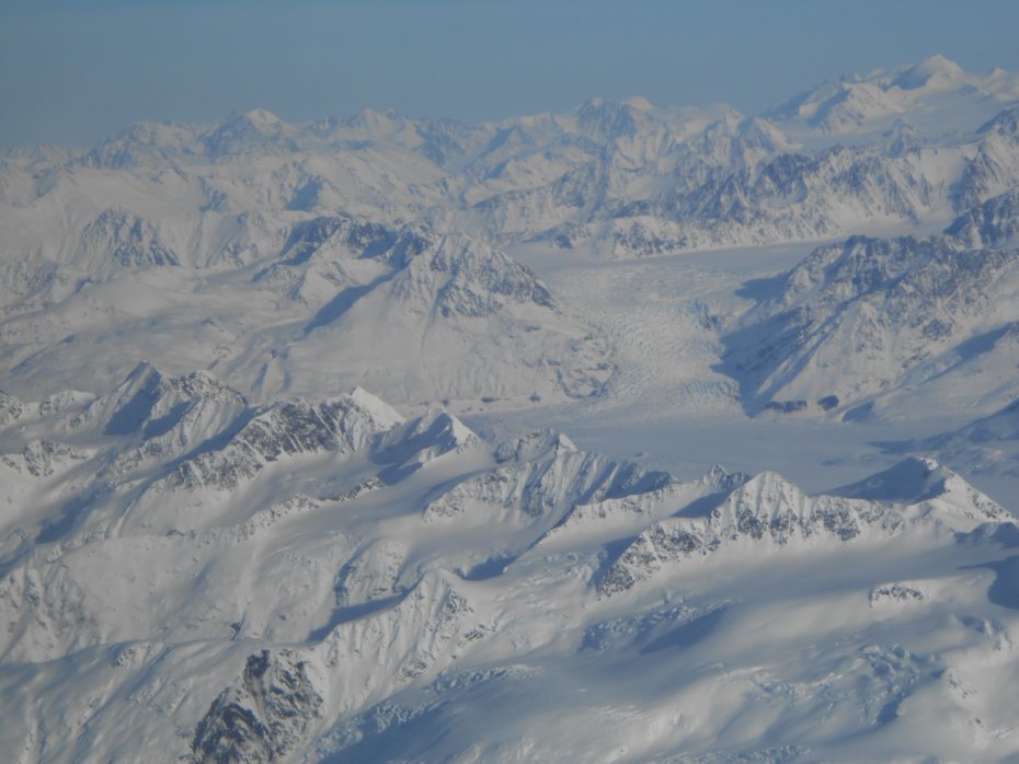
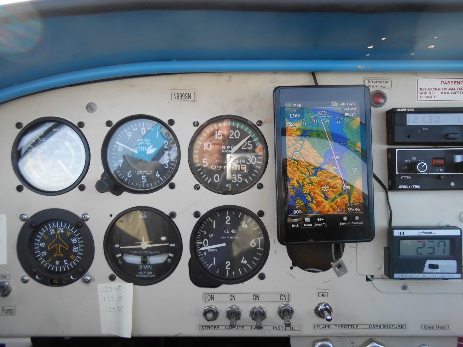
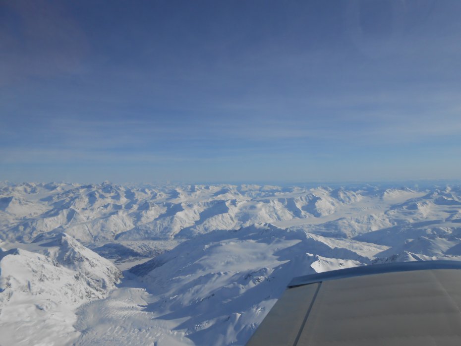
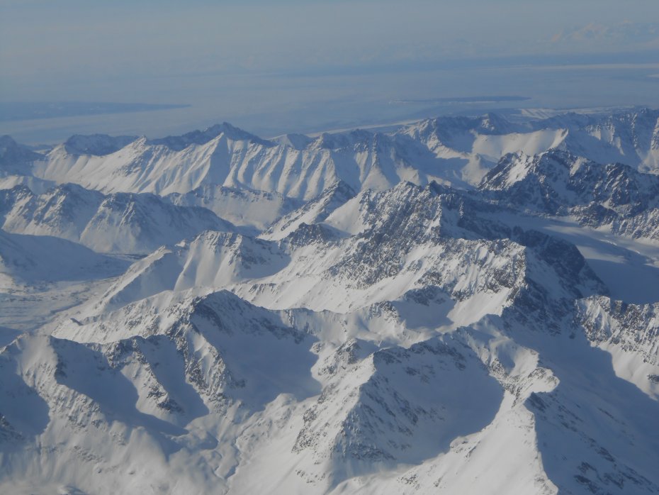
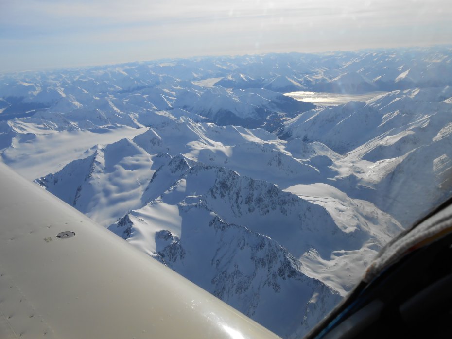
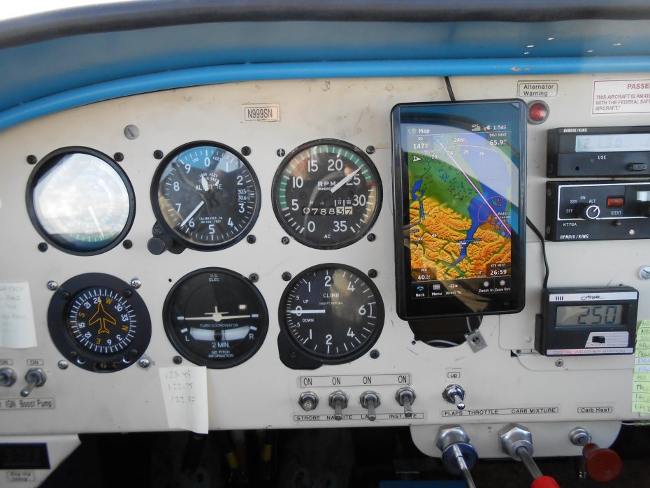
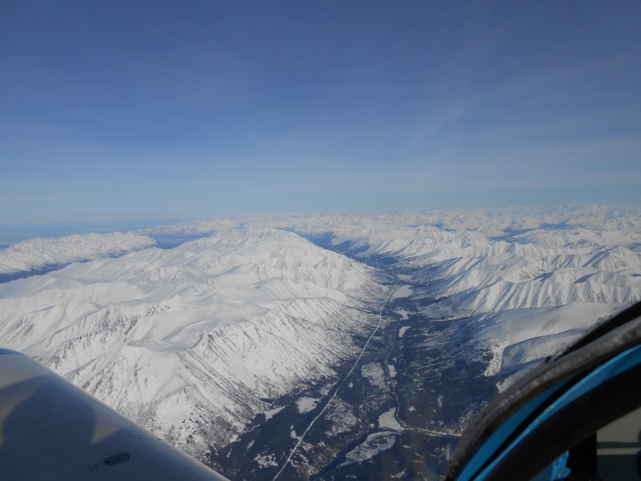
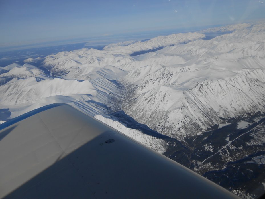
The following photos will show different views of the same locations, going to and returning from. A few photos will be called Location Photos. Took a photo of my Garmin Aera 660 to show what /where at when taking some of them.
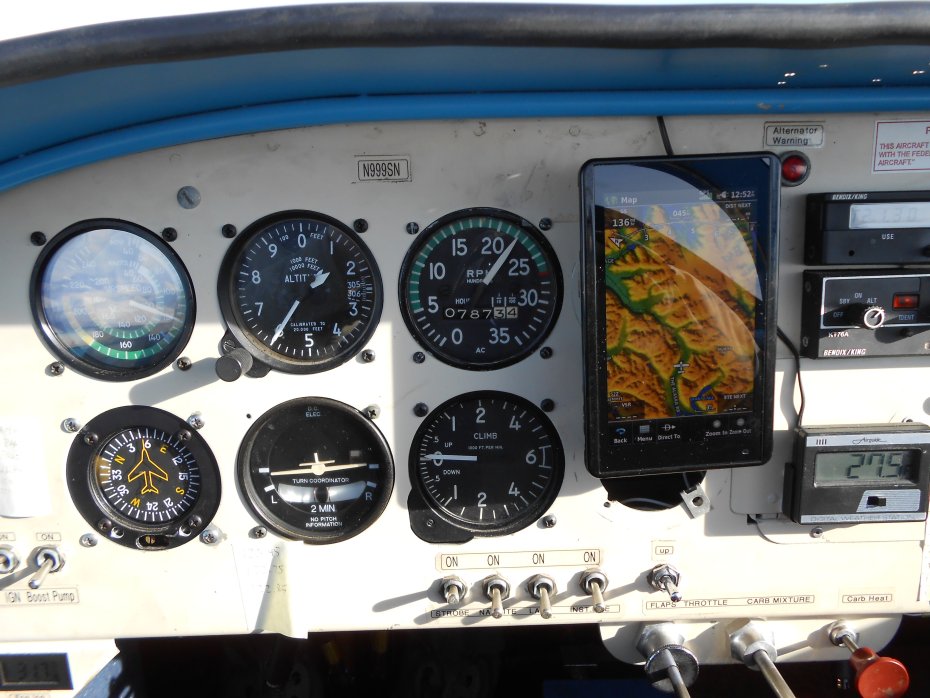
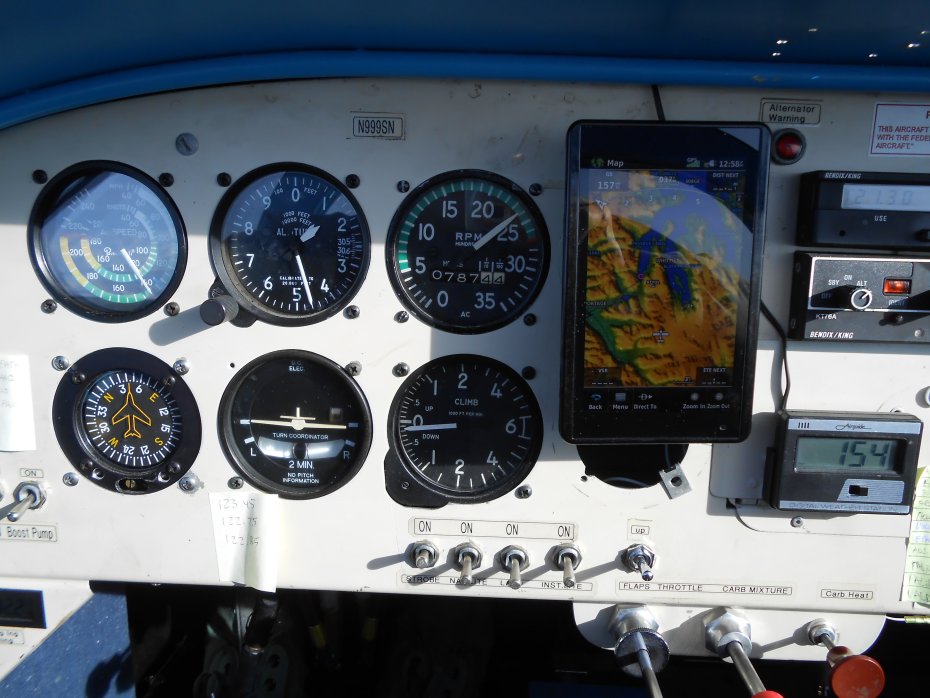
2300 RPM and 11,500 ft altitude! At turn around point climbed to 12,500 until starting my descent for Kenai.
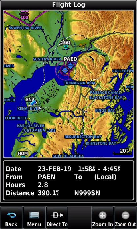
Ok, yesterday's route was longer. Here is a screenshot after the flight was over:
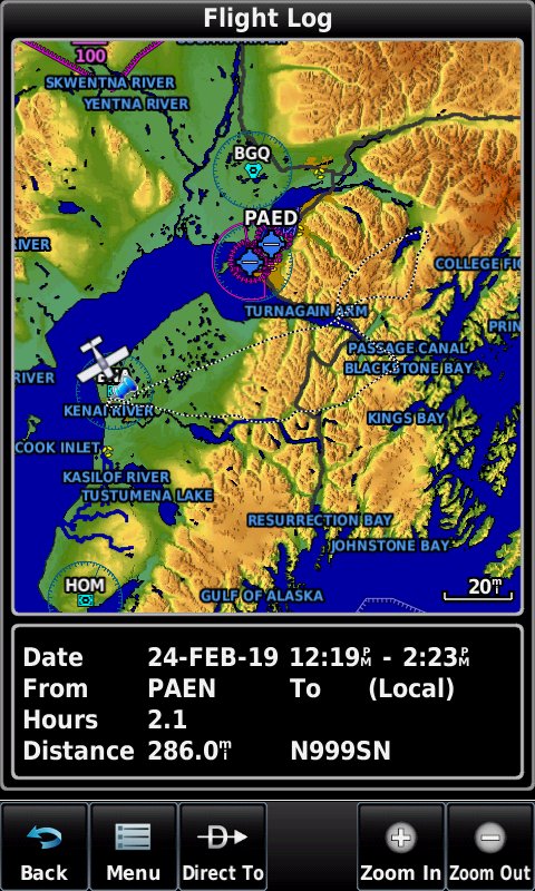
Here are a couple of screenshots of todays shortened route. Note mileage difference?
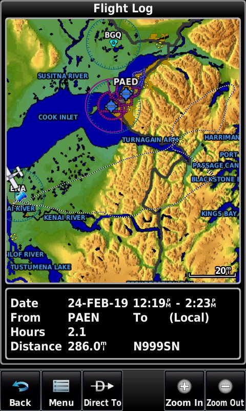
Here is a little closer view:
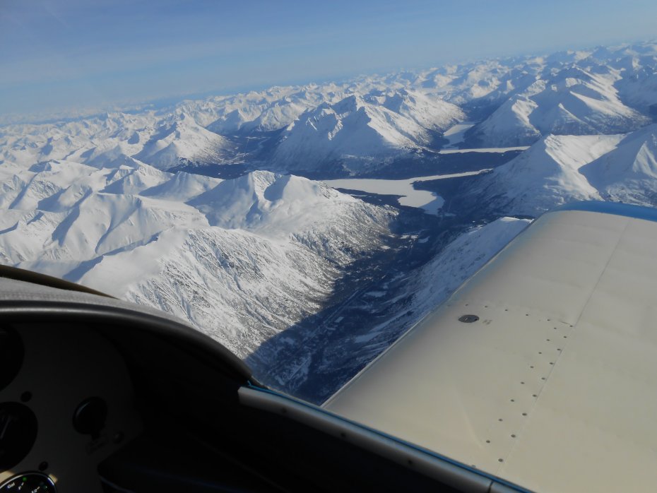
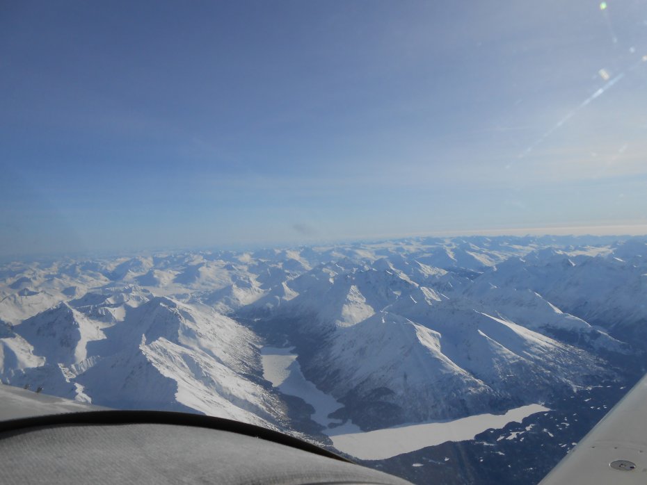
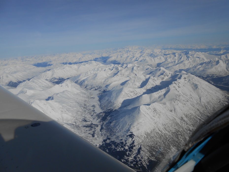
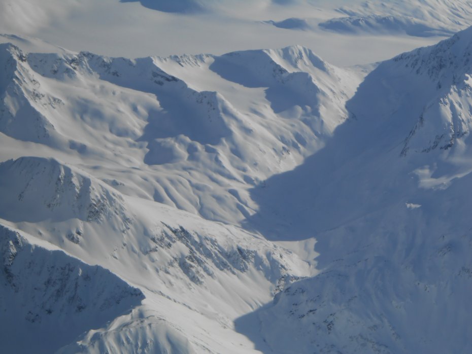
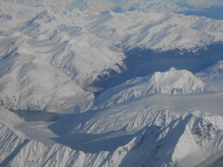
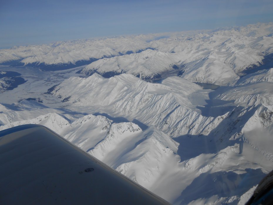
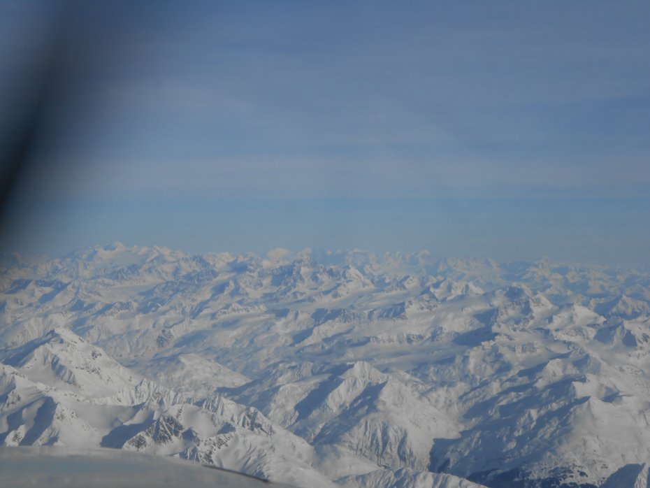
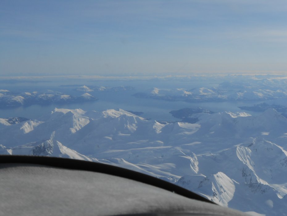
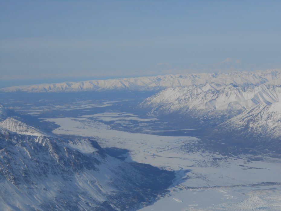
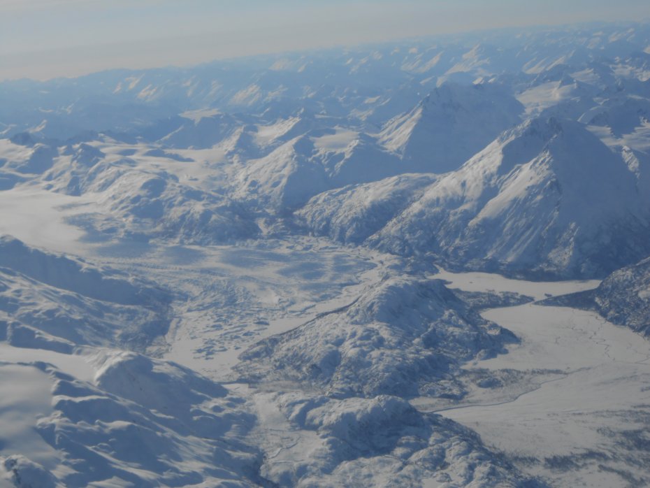
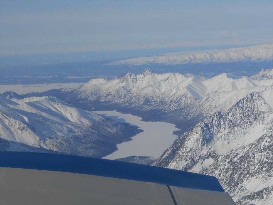
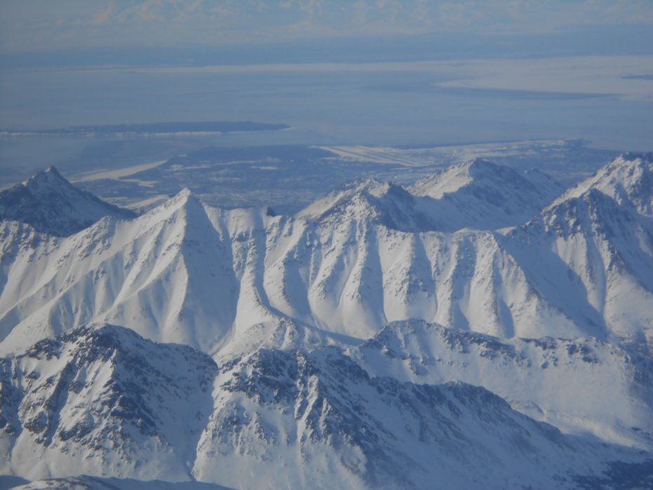
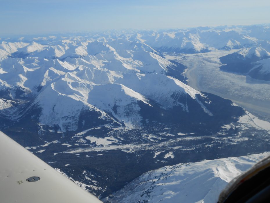
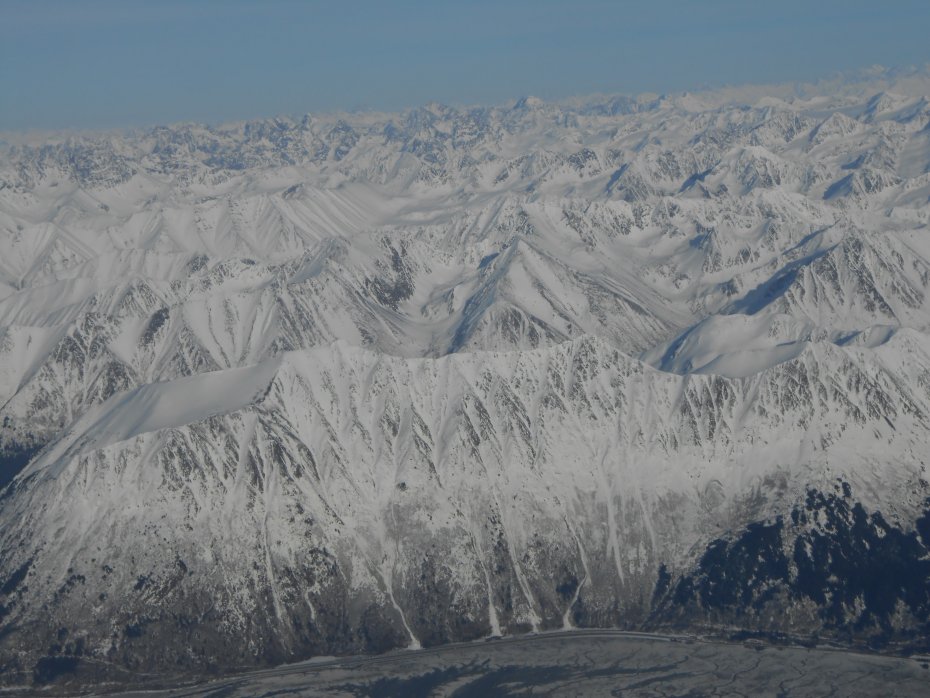
Heading into the Kenai Mountains, following the Sterling Hwy, Hidden Lake is the frozen lake in the distance with Islands. Each Island has a campground, great place to camp, careful with kids though, steep sides to water and no beach in most places:
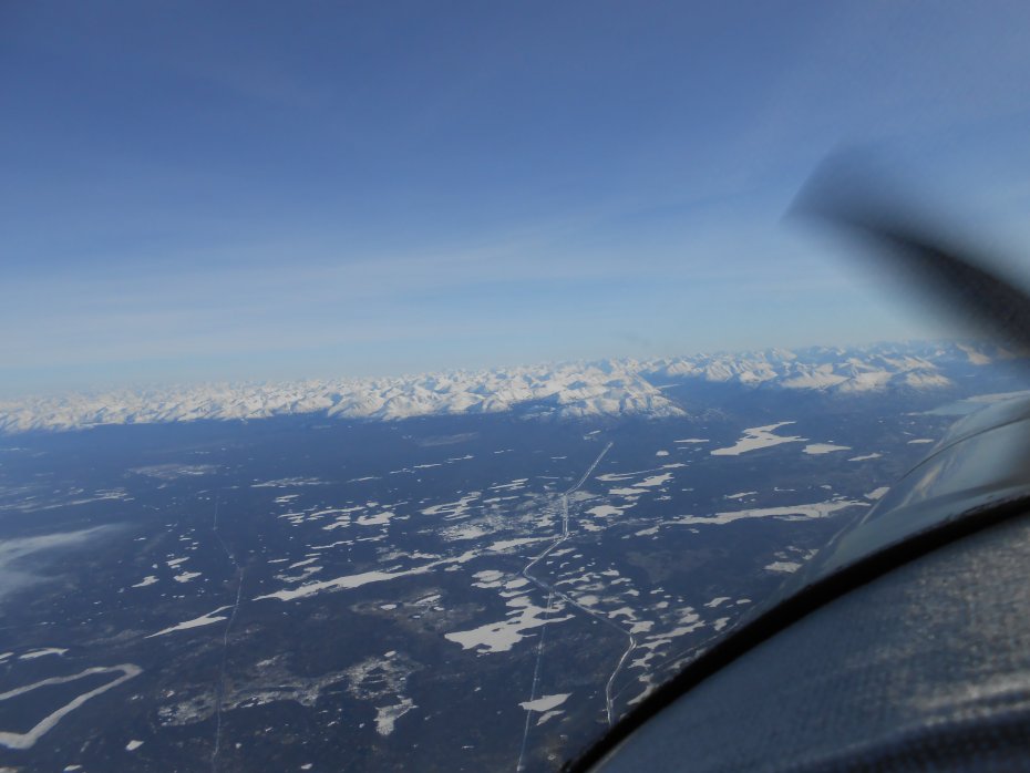
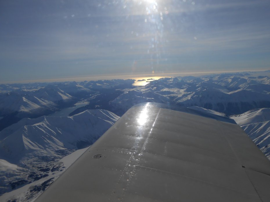
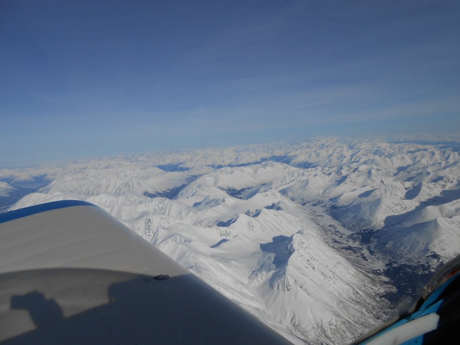
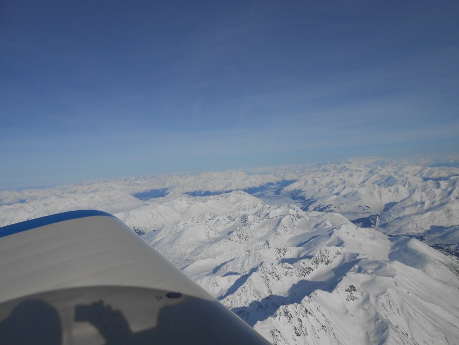
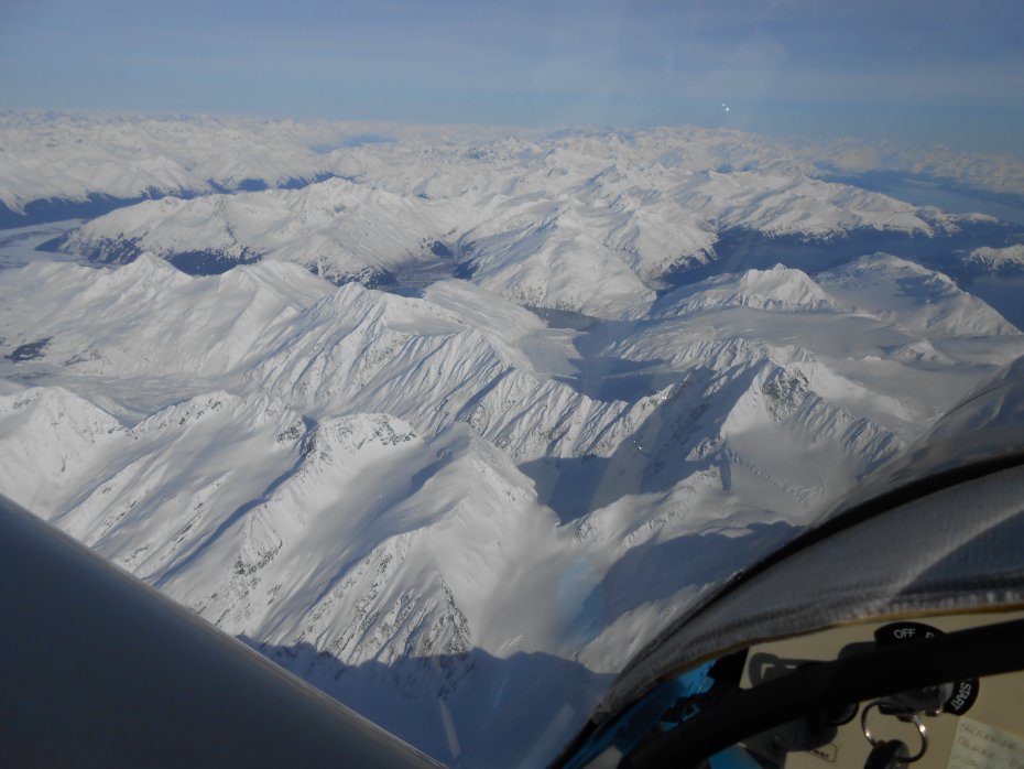
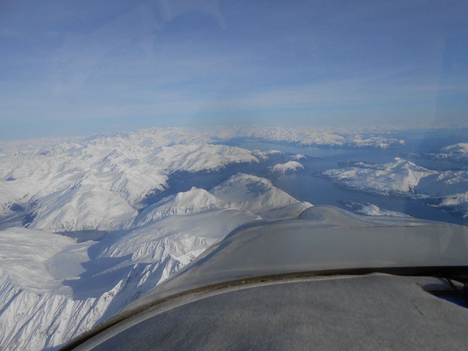
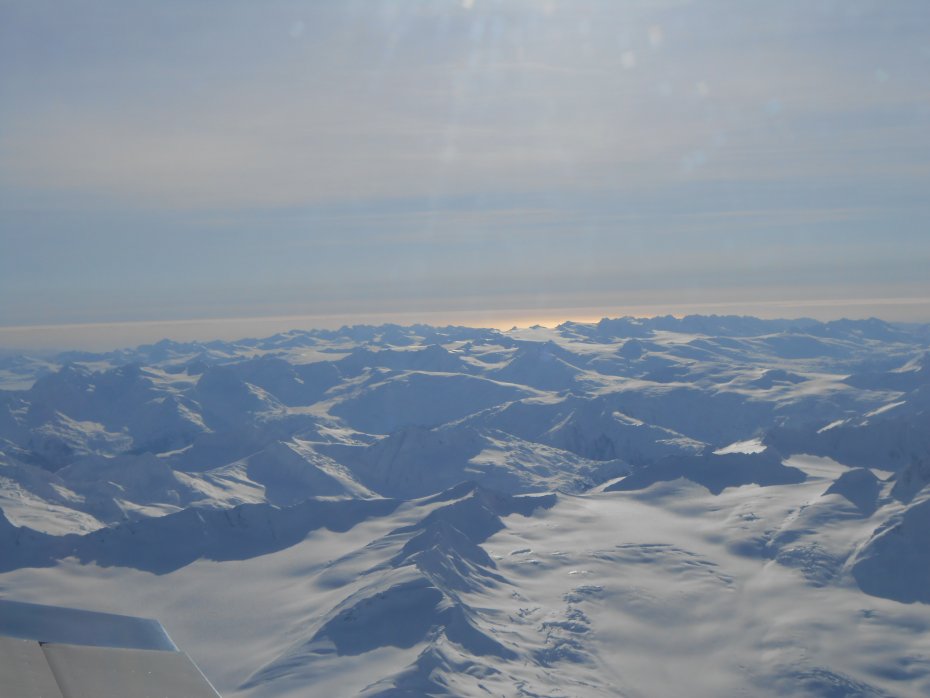
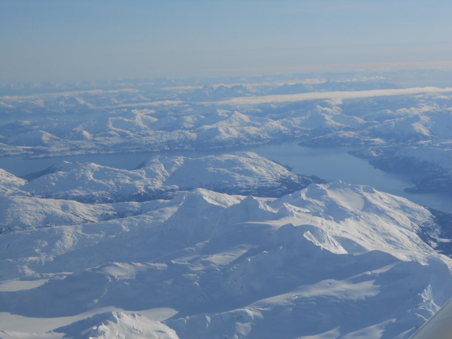
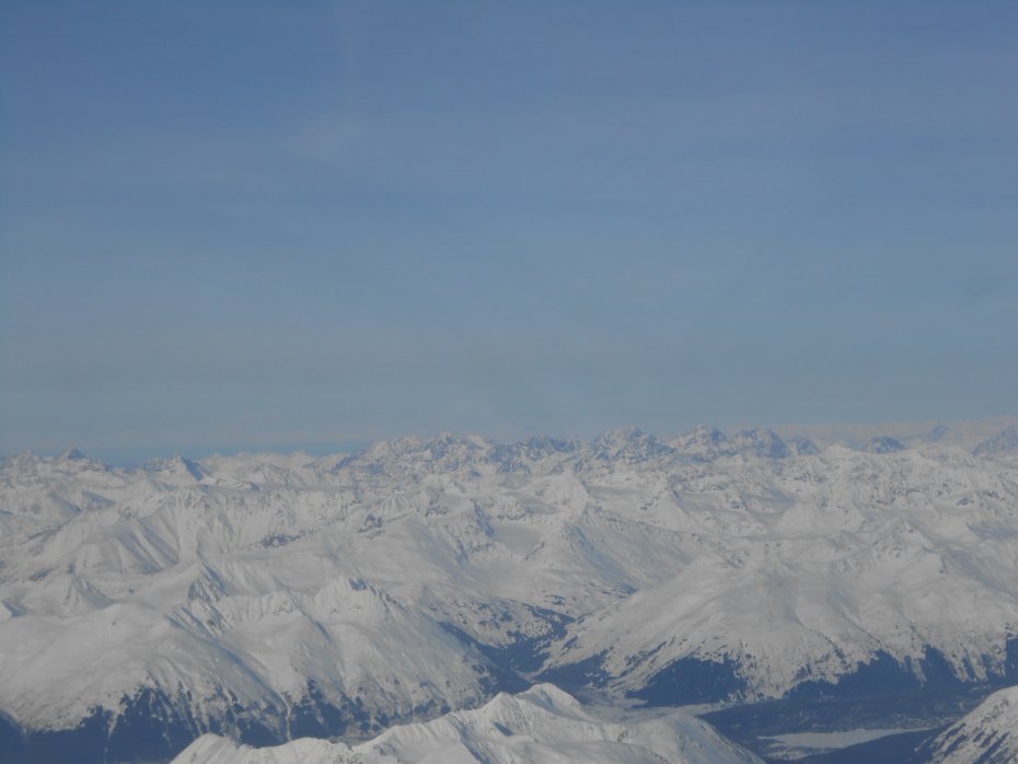
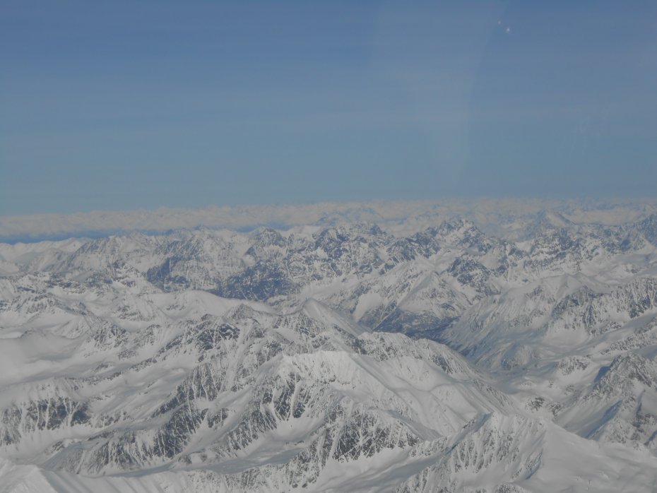
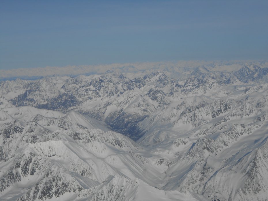
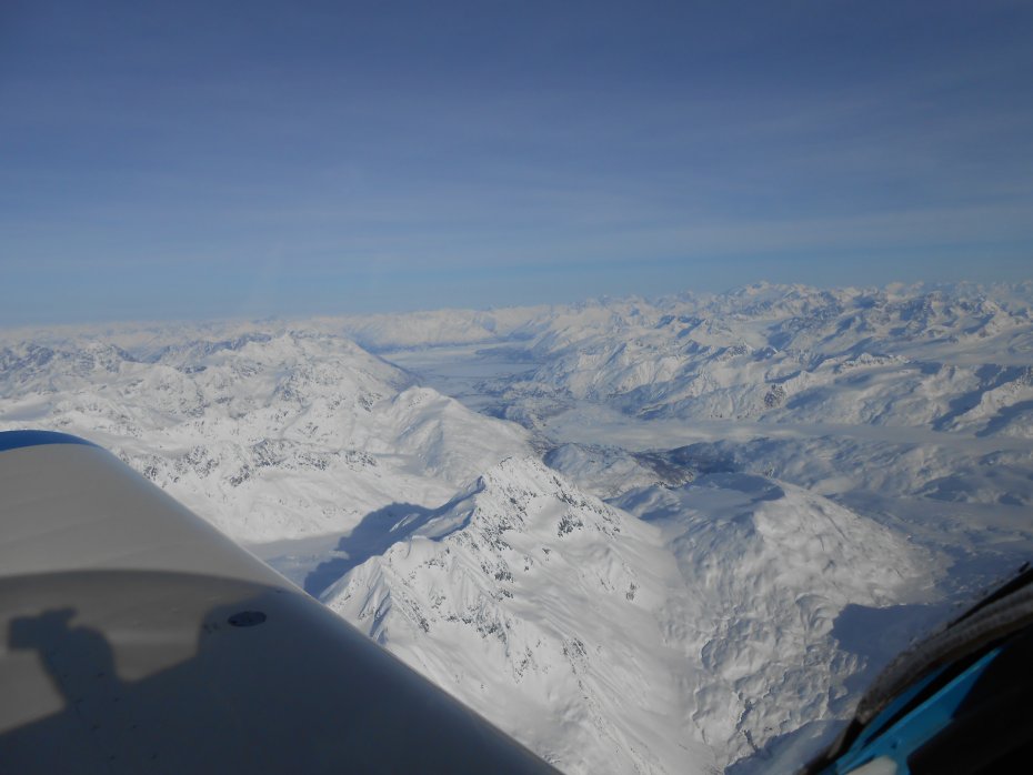
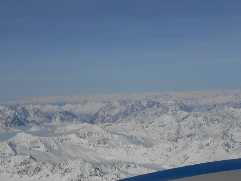
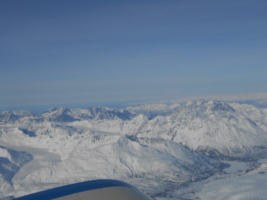
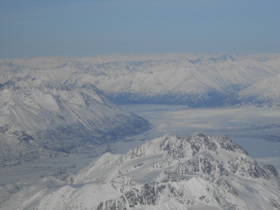
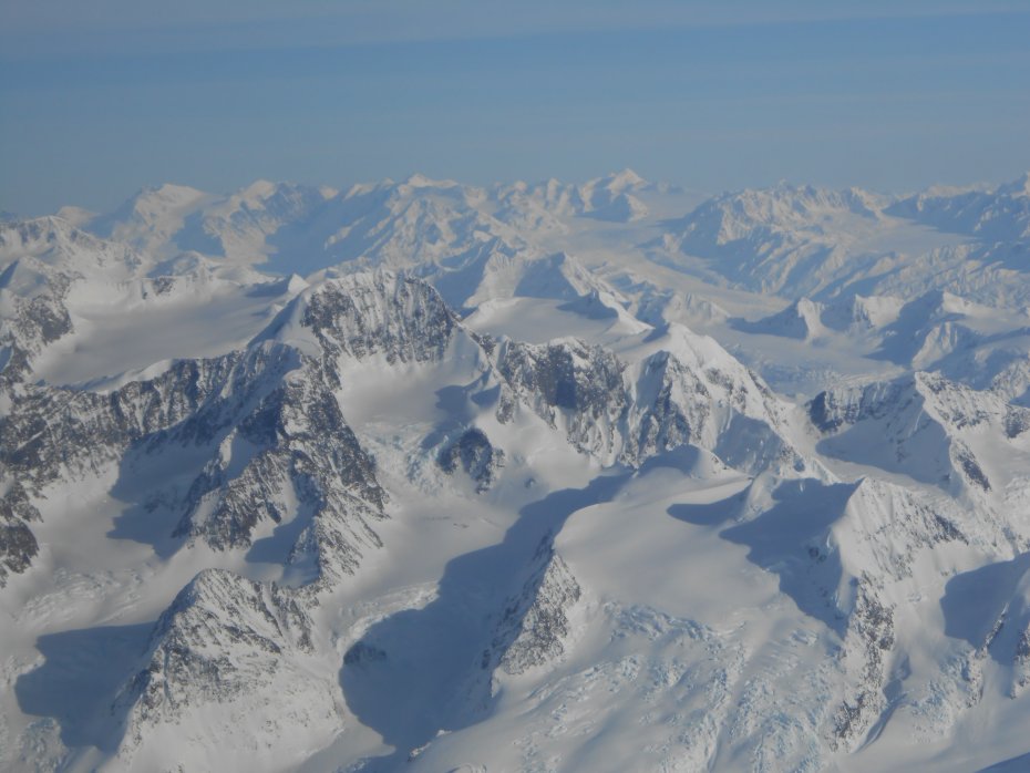
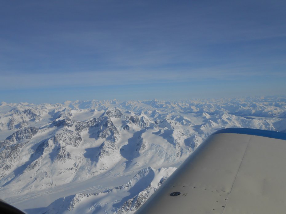
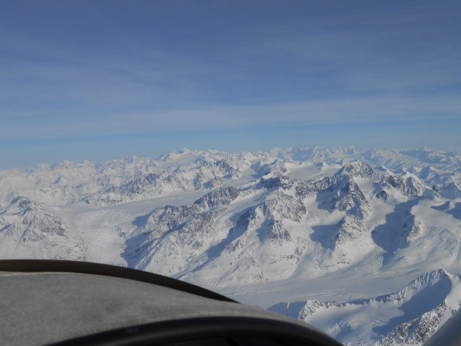
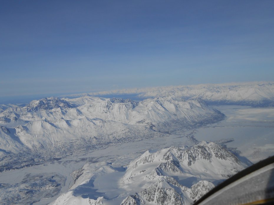
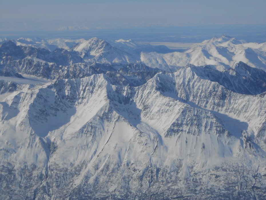
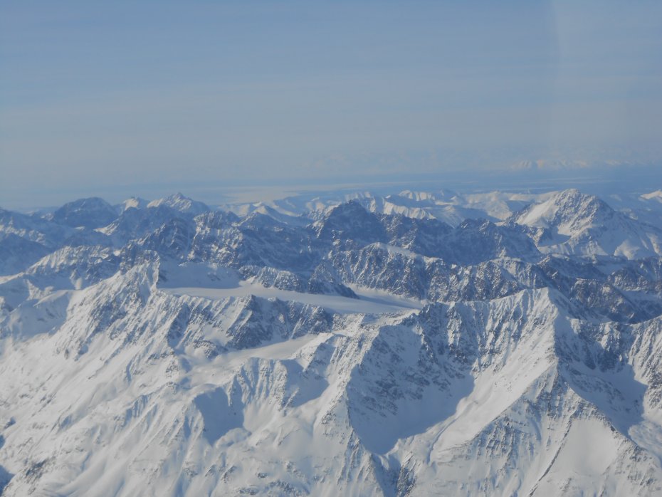
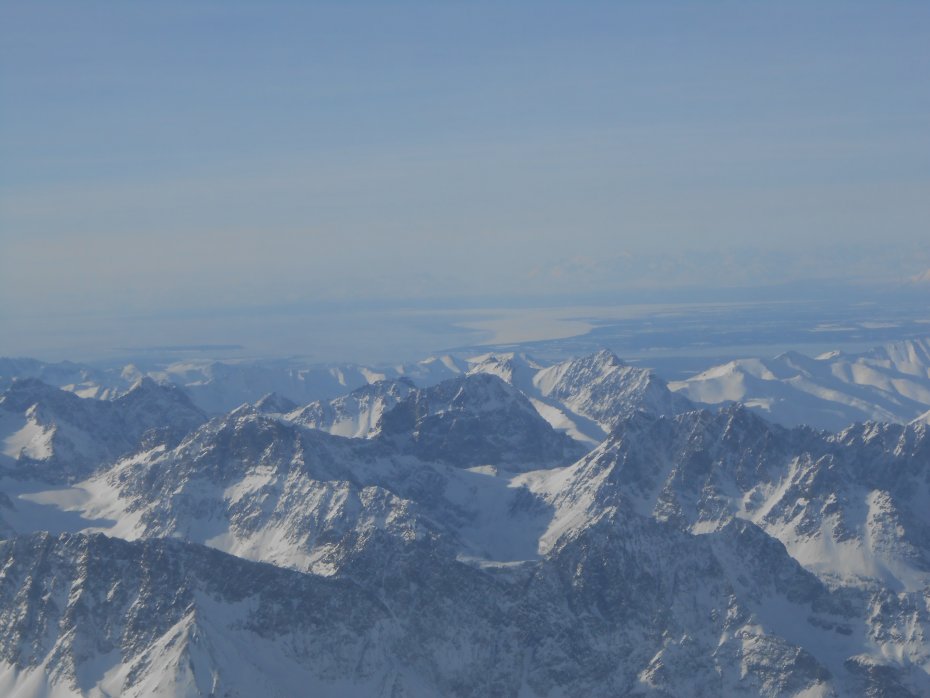
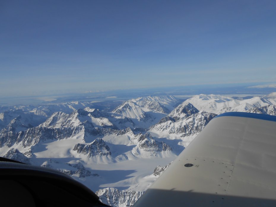
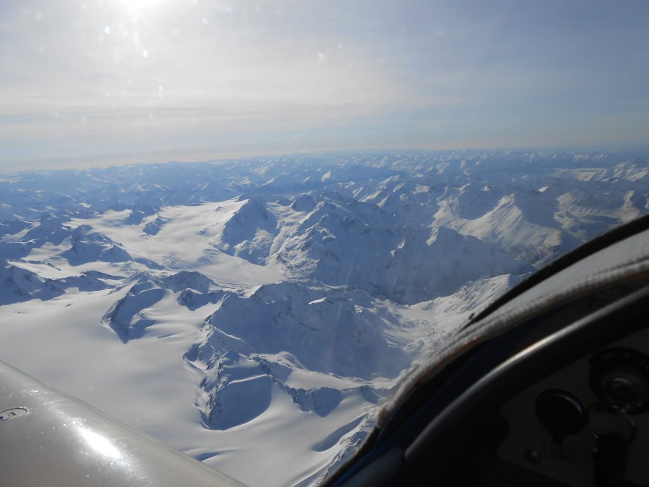
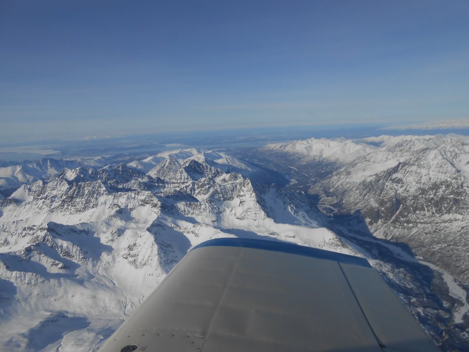
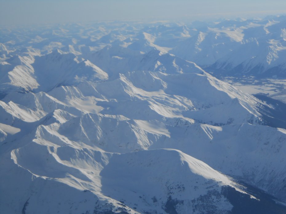
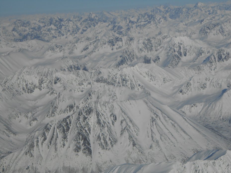
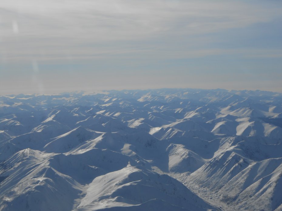
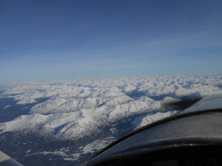
Might as well show where I'm headed. Can you see the higher mountains in the center way off in the distance? Will take a zig-zag pattern showing the different views on the way!
Today was cloudy and warmer, yesterday it was really cold.
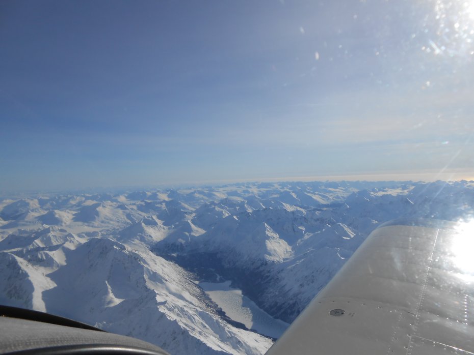
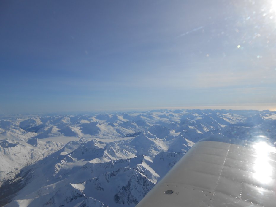
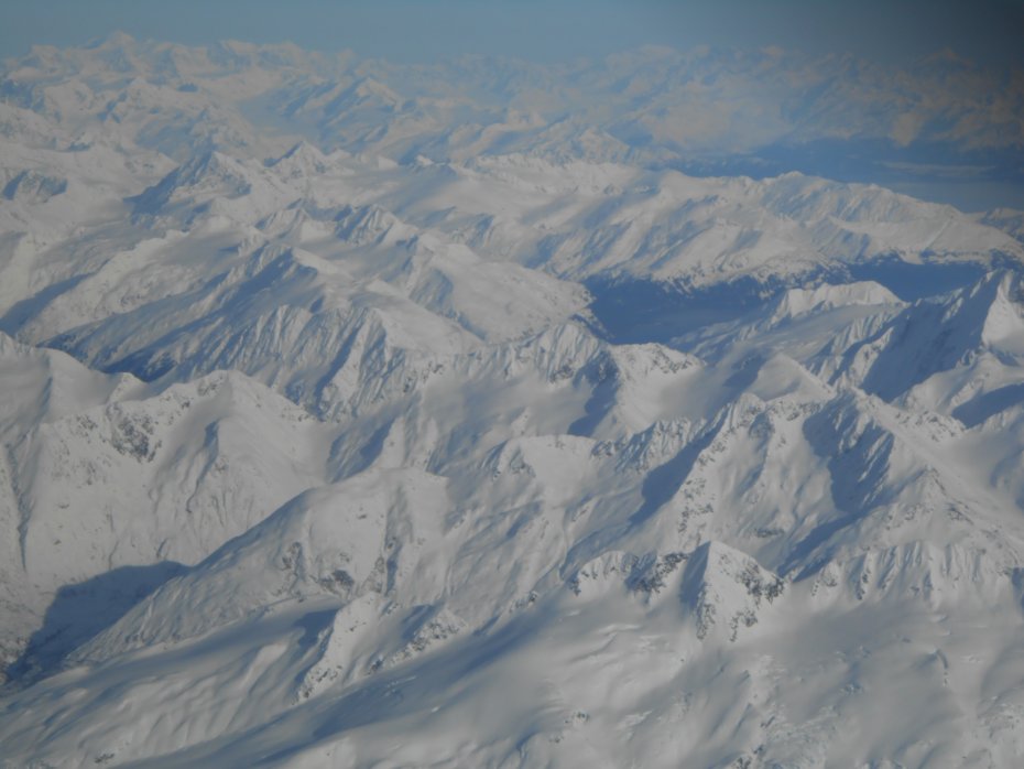
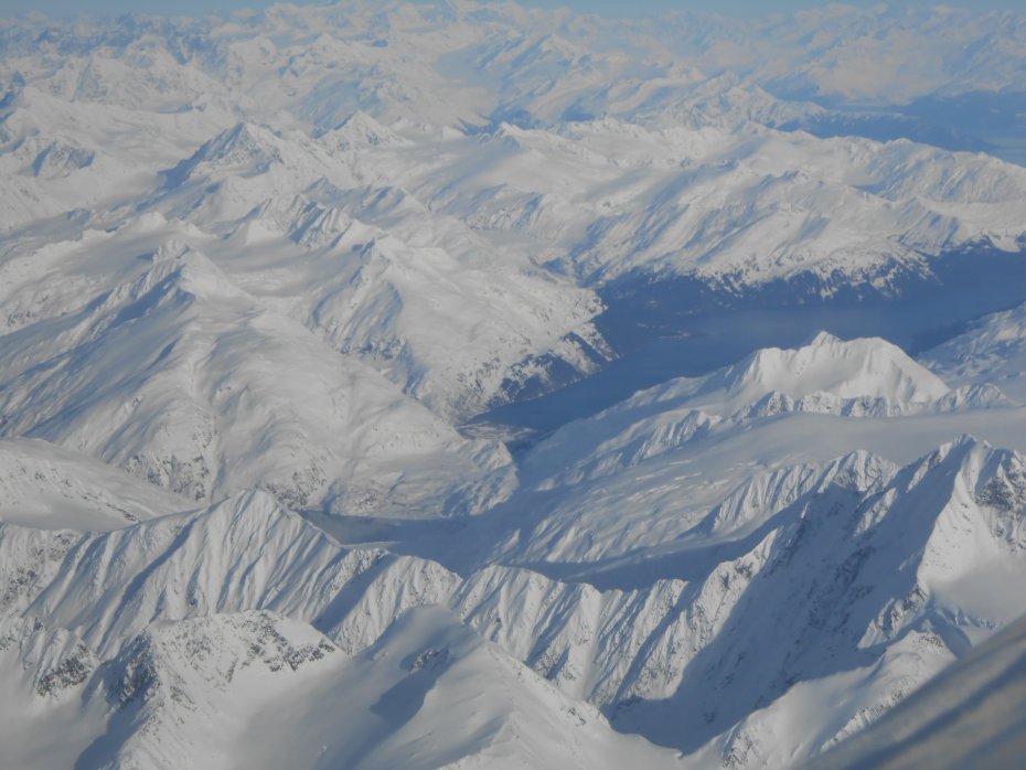
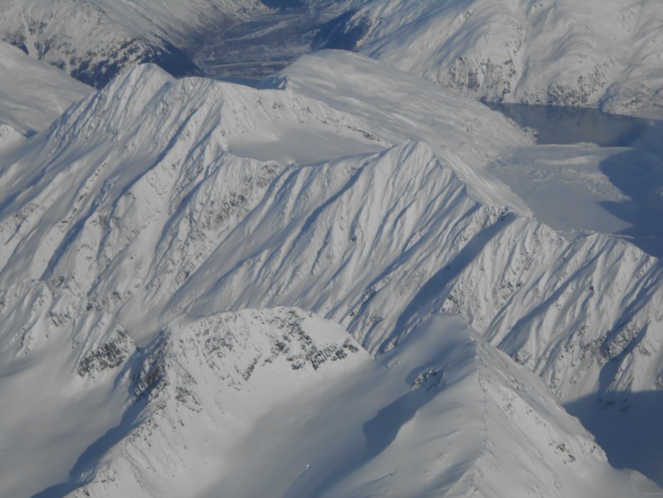
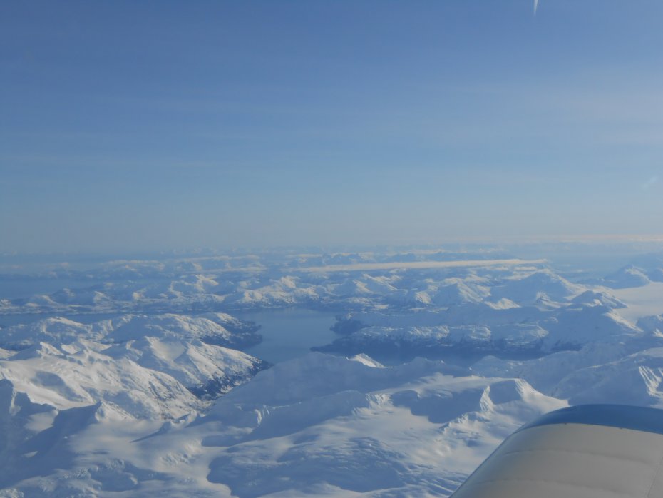
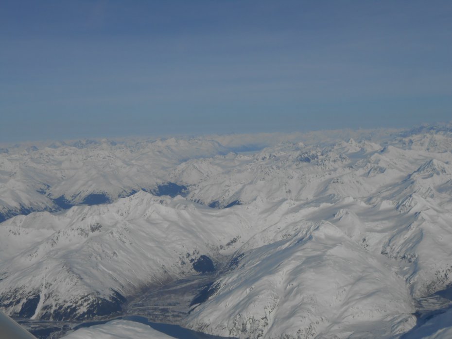
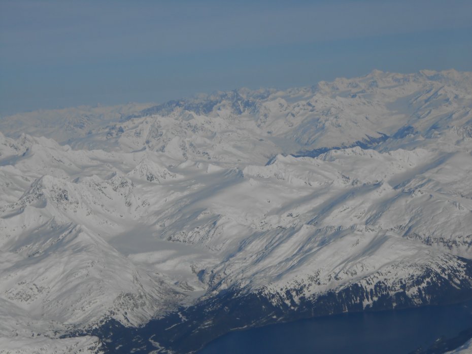
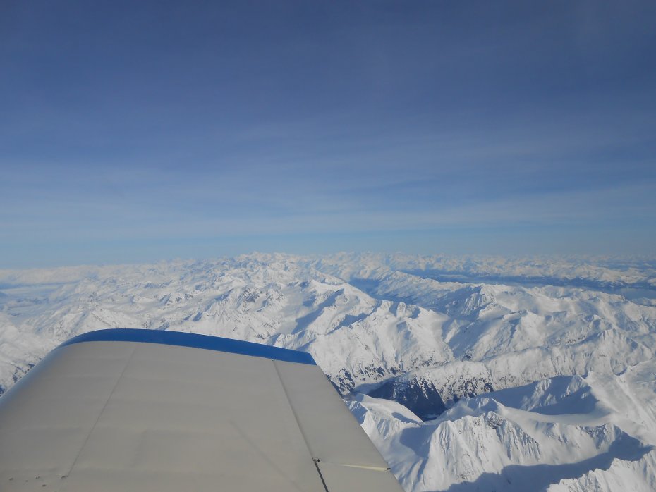
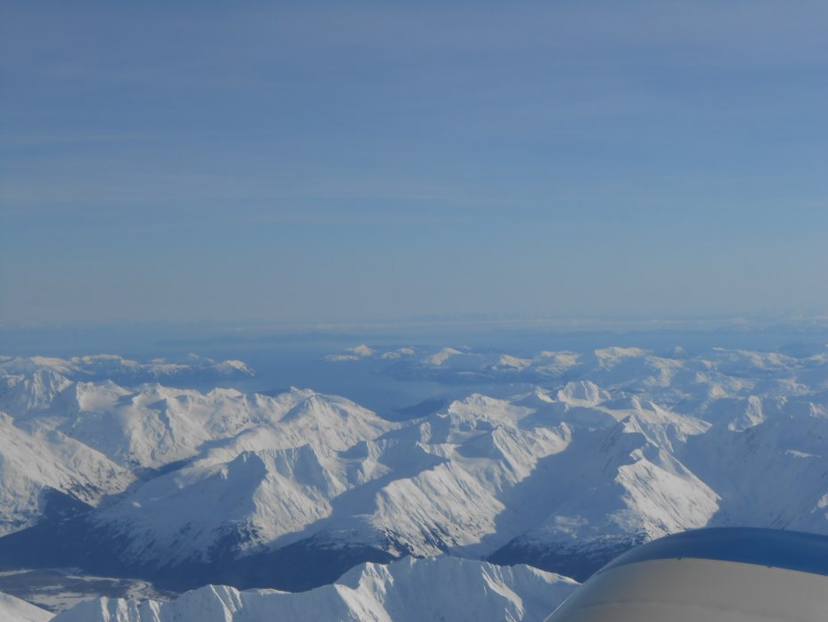
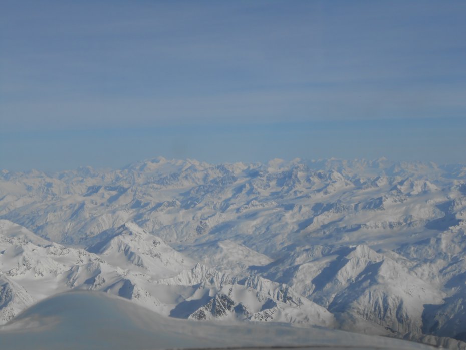
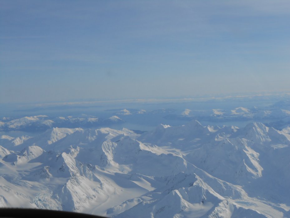
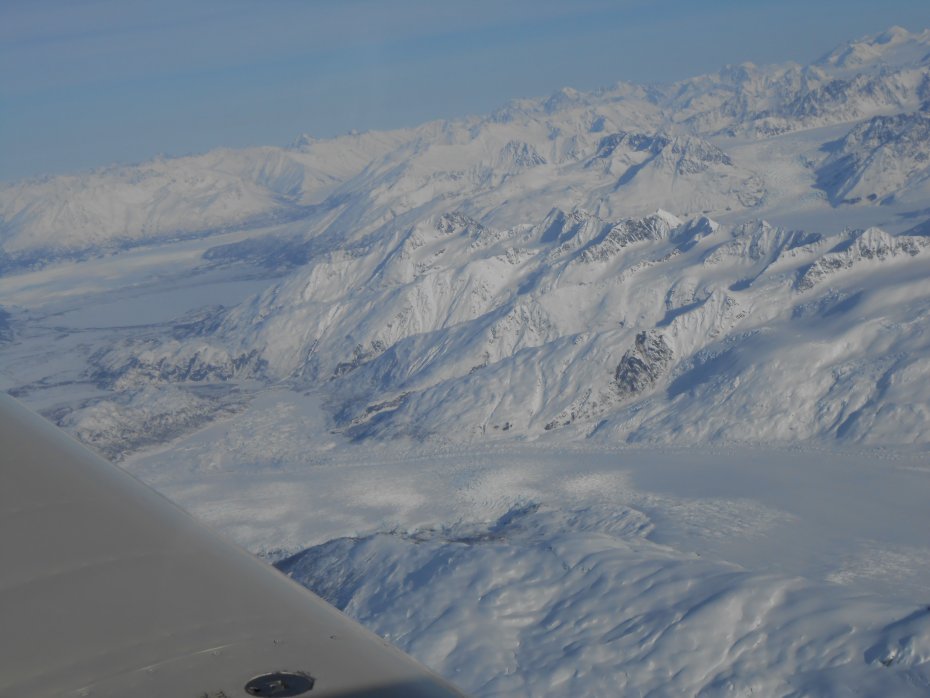
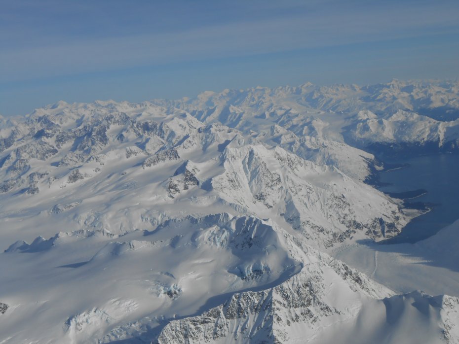
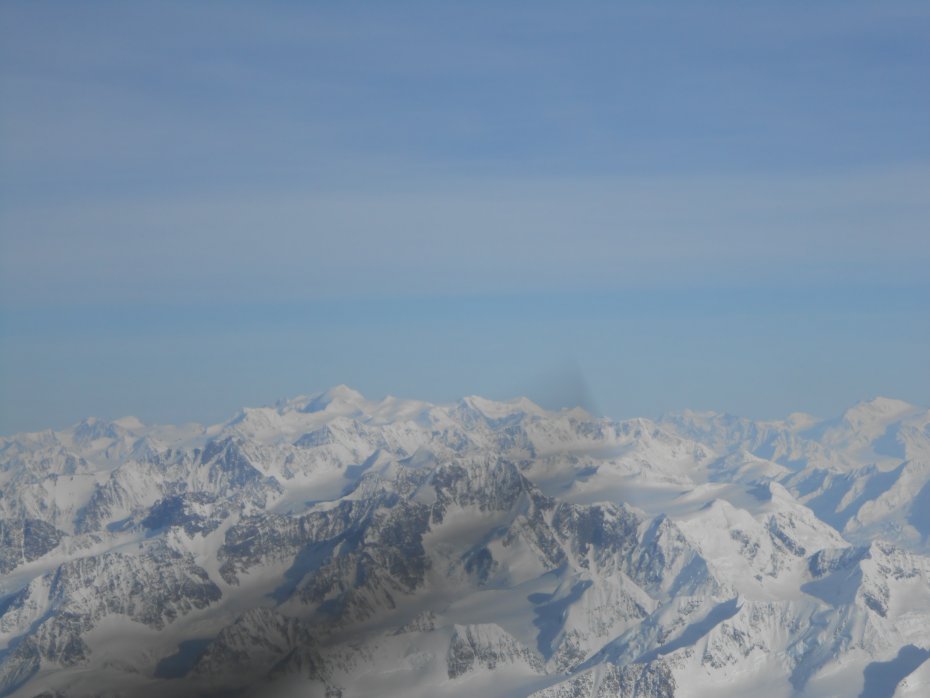
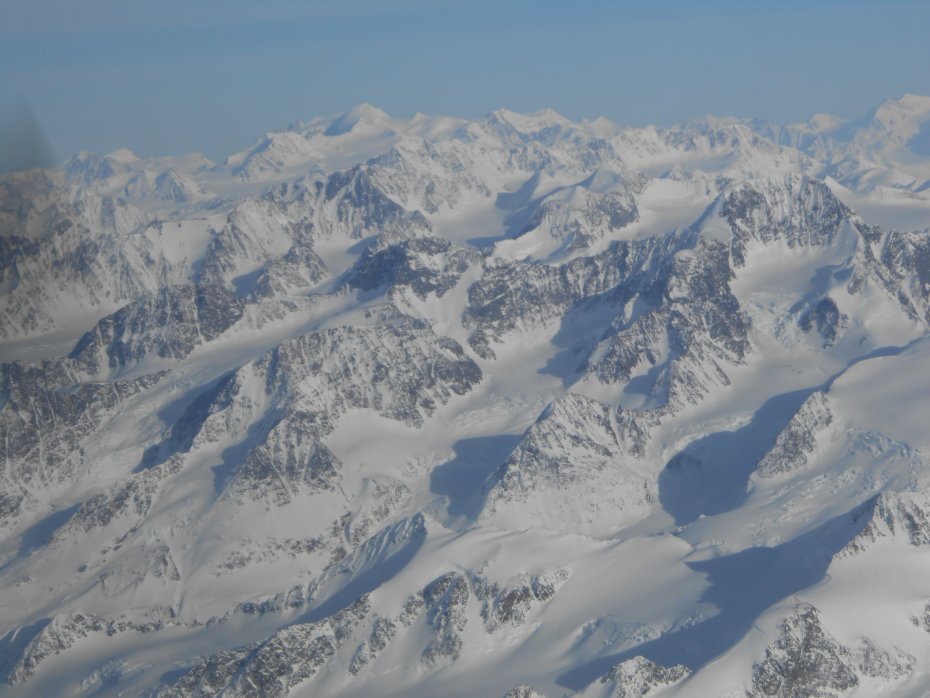
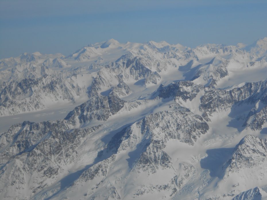
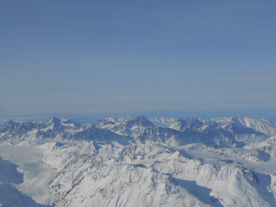
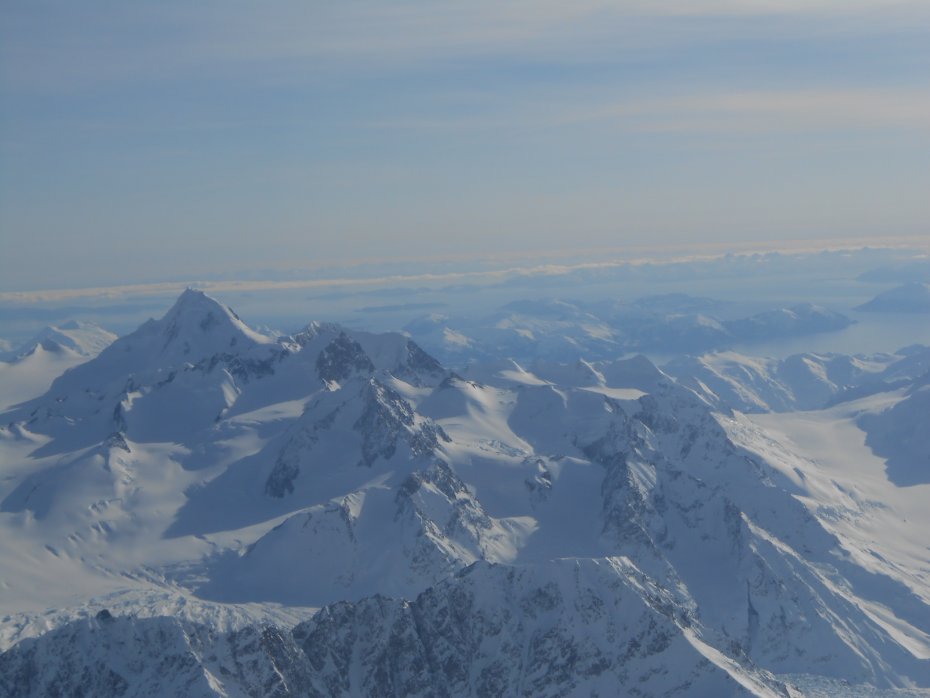
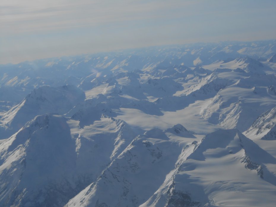
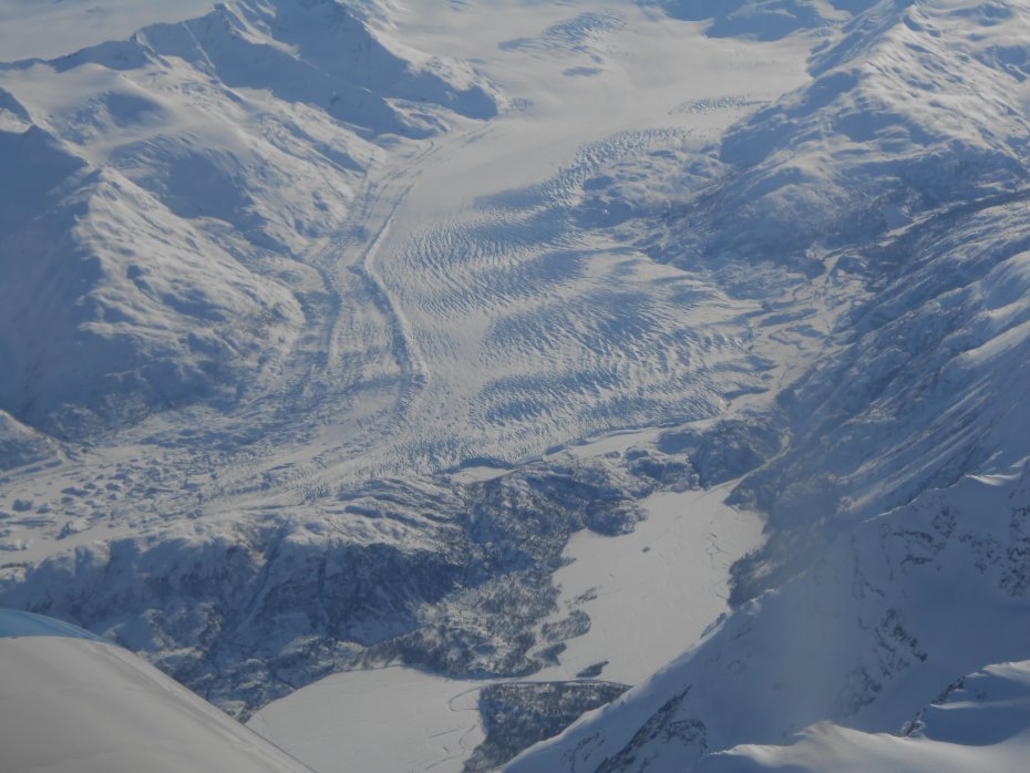
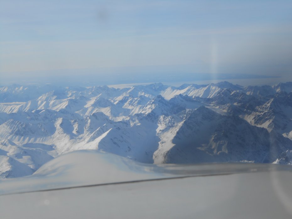
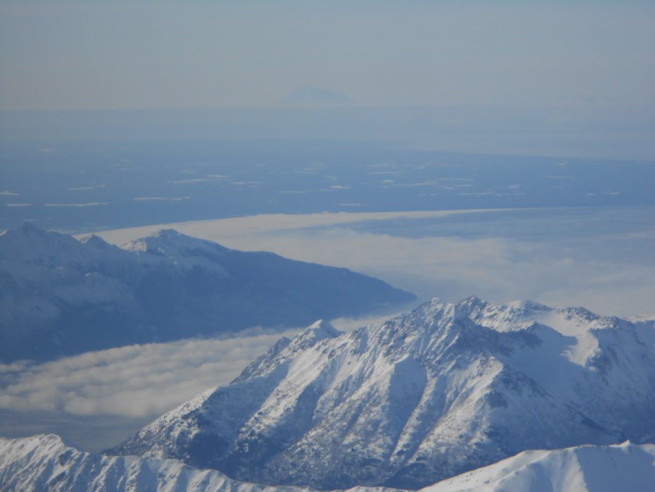
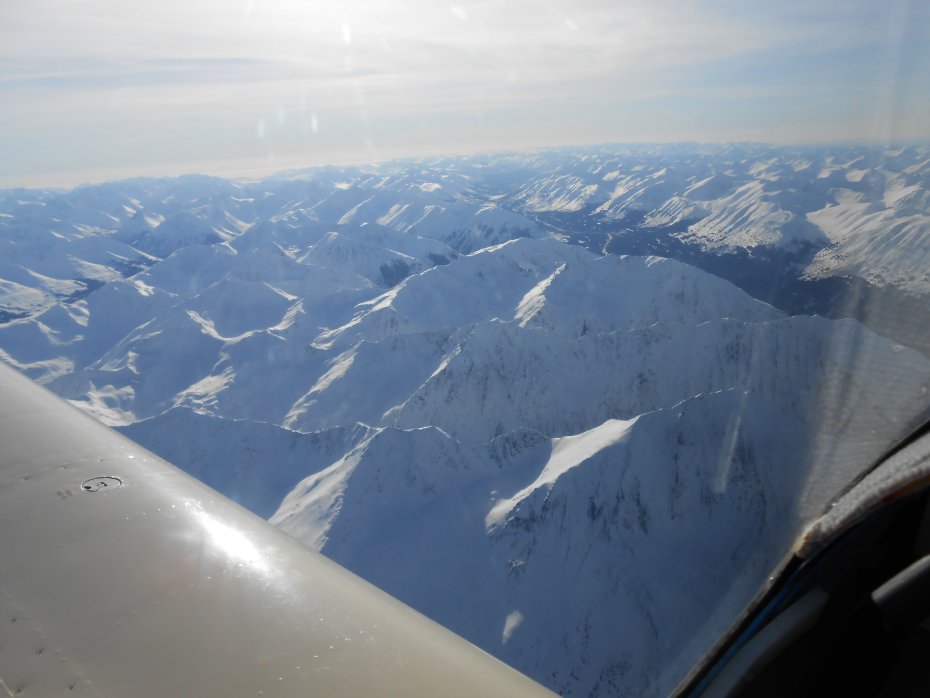
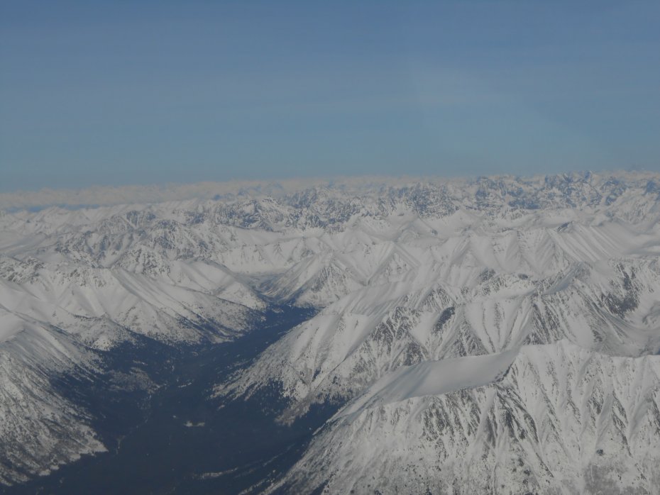
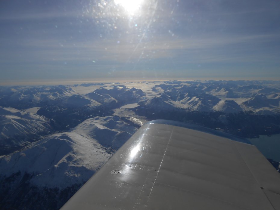
This photo shows the Northern edge of the Harding Icefield. Already have a photo trip of this area from last year. Vlad stopped in and we flew it while he was here.:
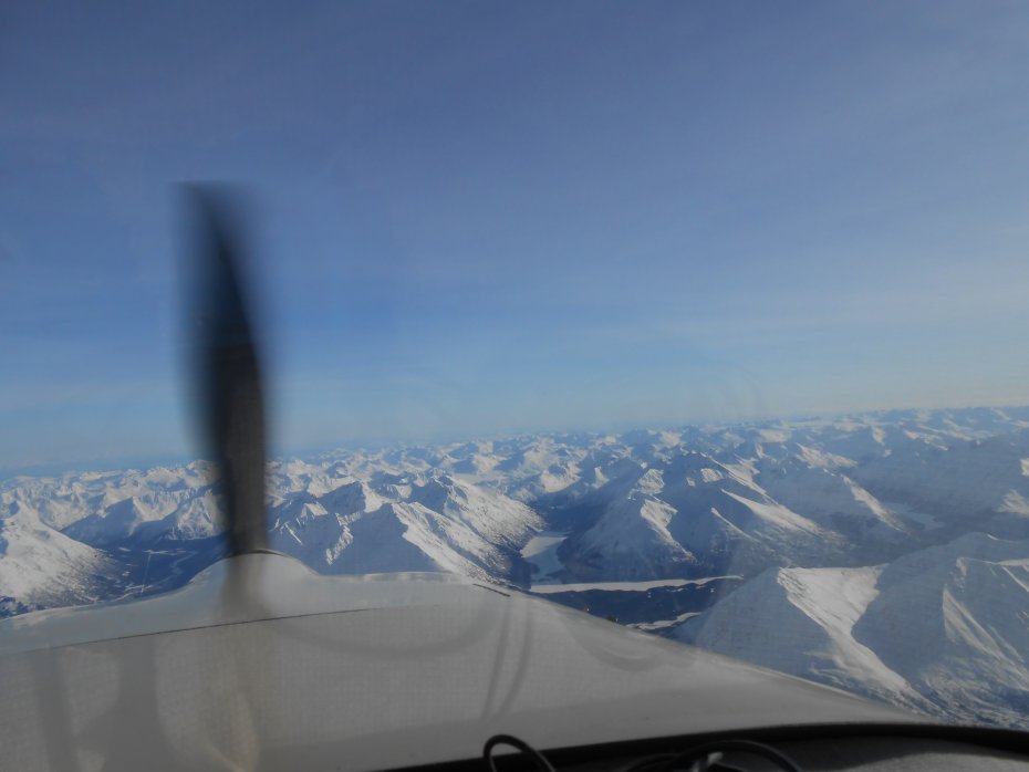
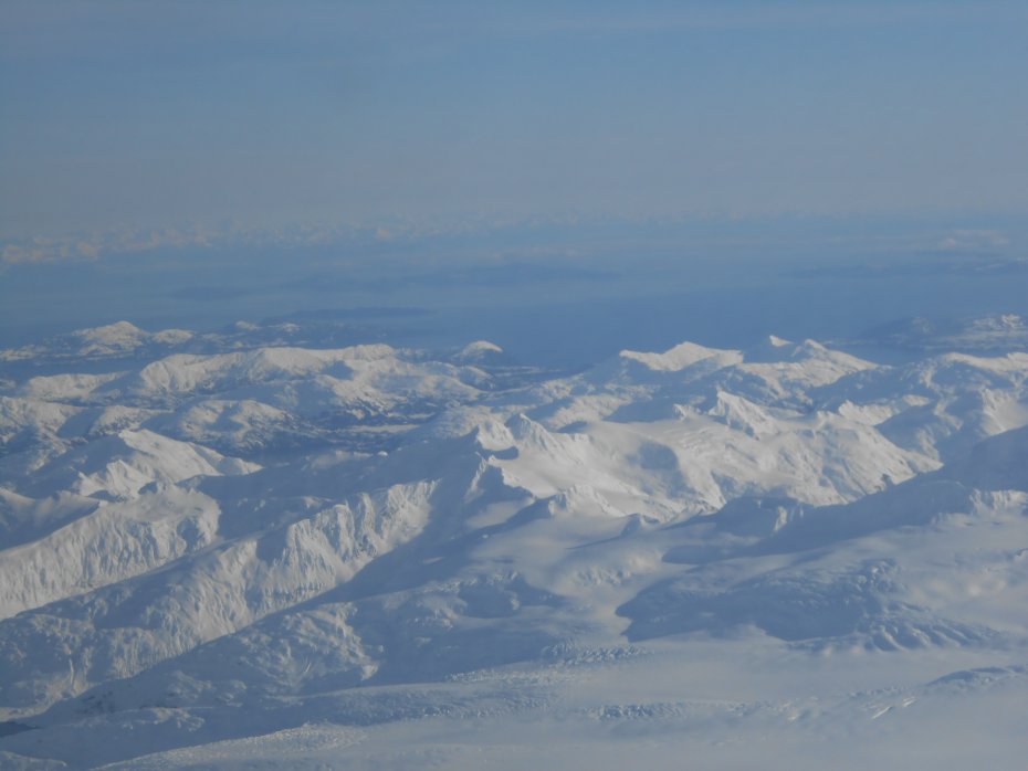
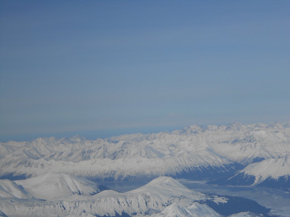
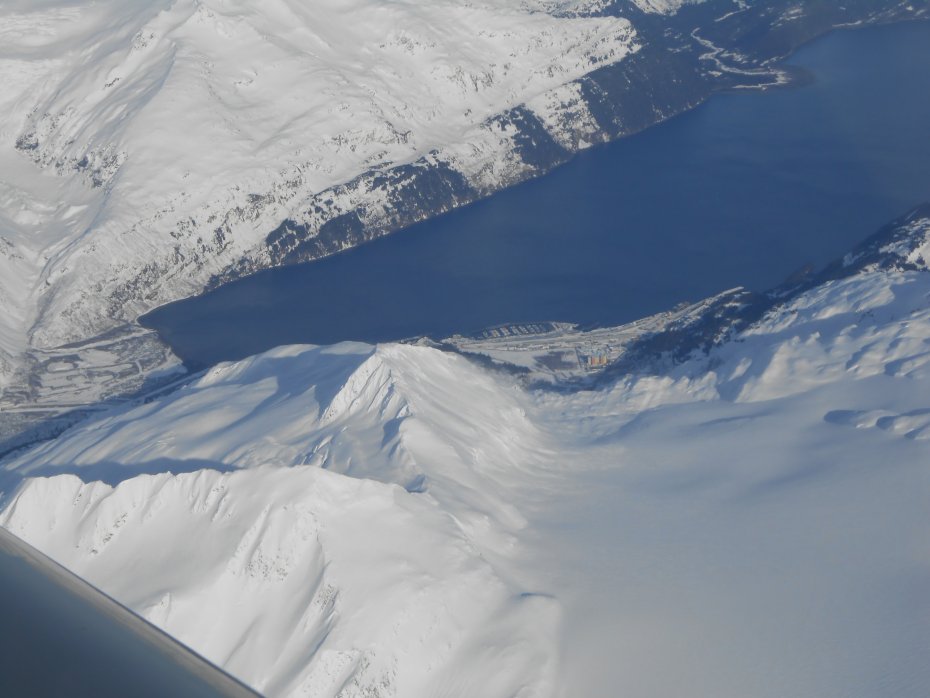
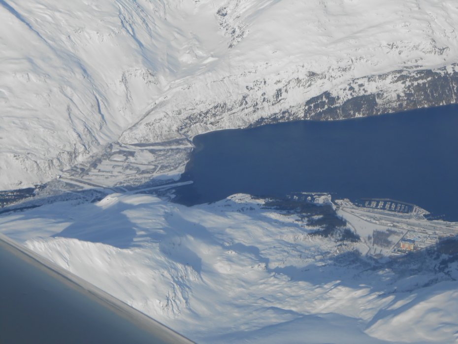
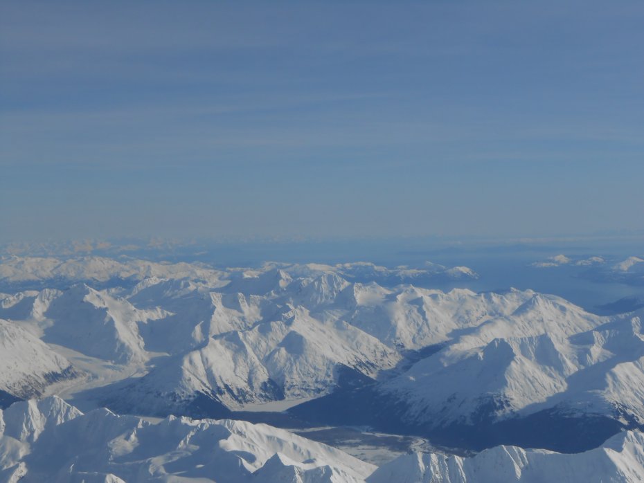
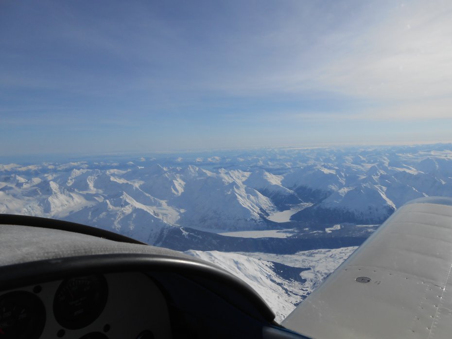
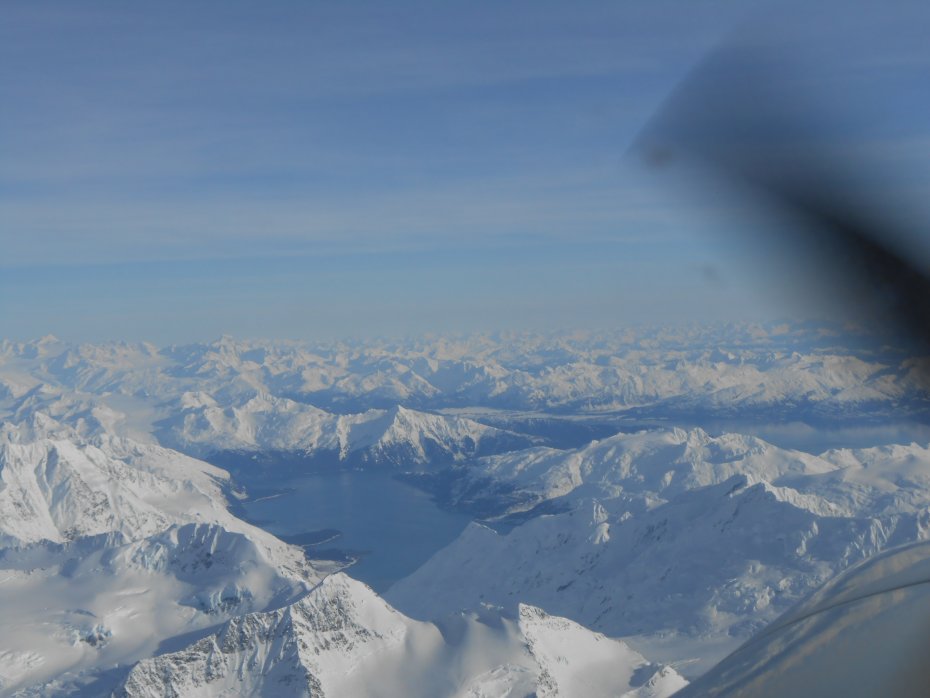
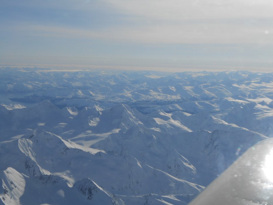
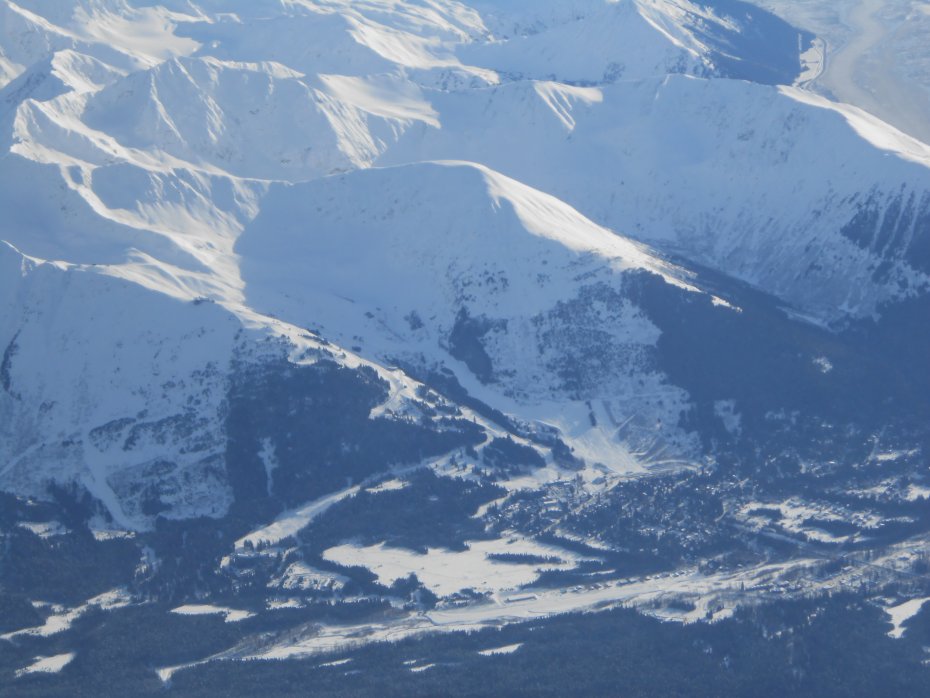
Here is the Kenai Lake near Cooper Landing, Porcupine Island is visible:

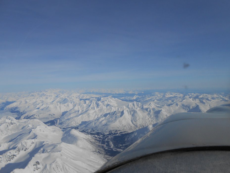
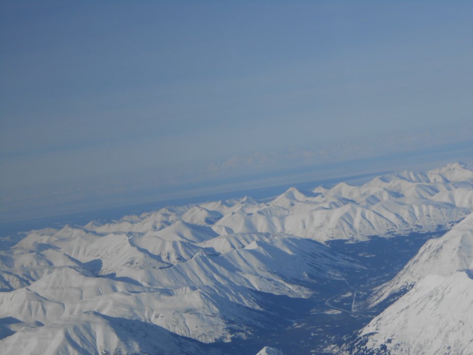
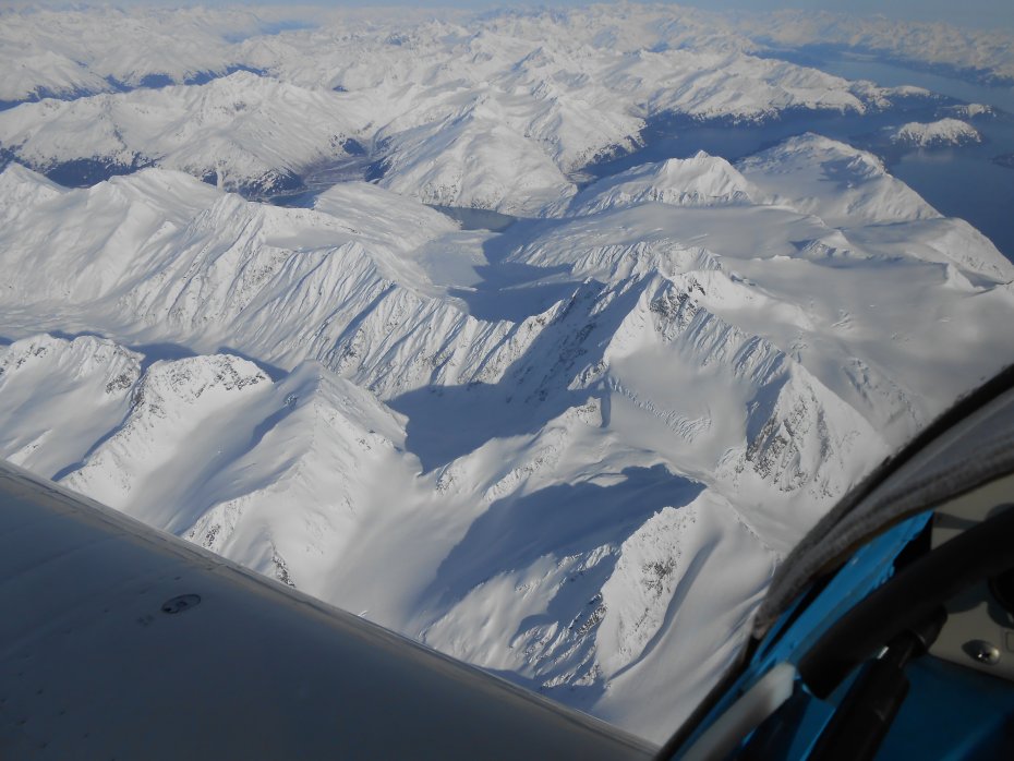
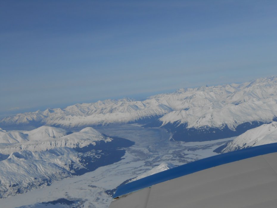
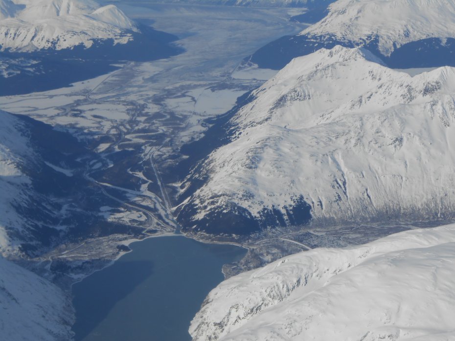
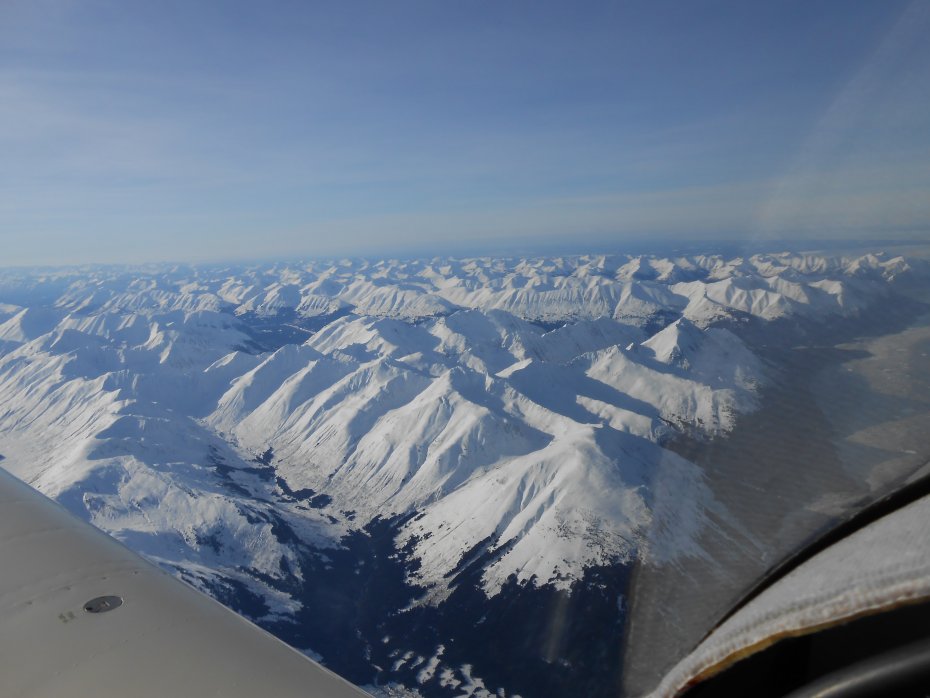
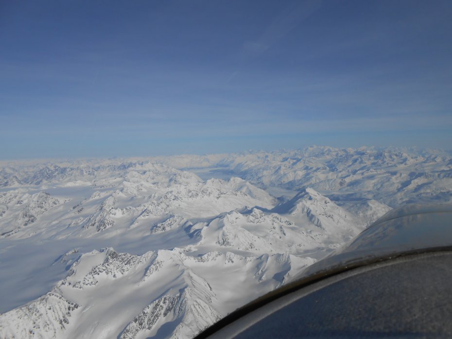
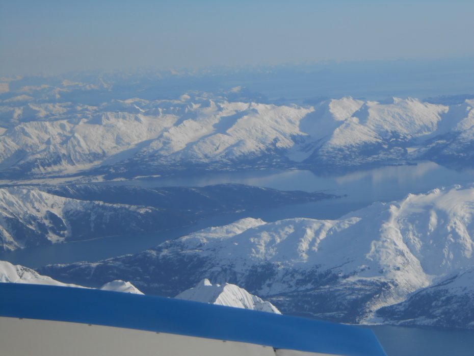
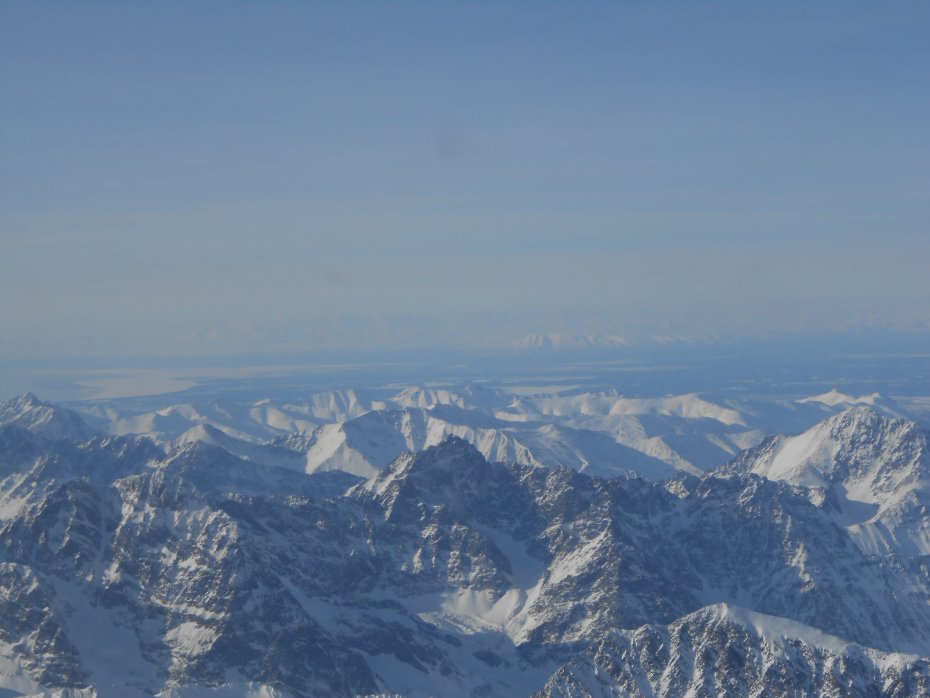
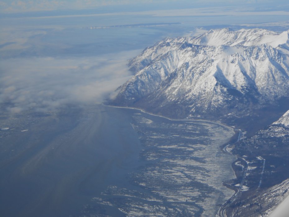
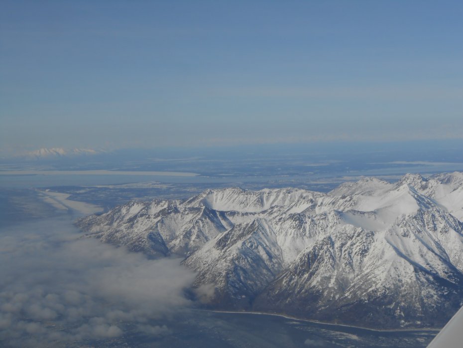
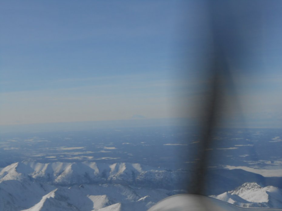
Still following the Sterling Hwy. Turn to the North as it heads towards the Seward "Y". The Y is to the right not in view, however the straight-line you can see is the power lines to Anchorage, the Hwy you can now see is called the Seward Hwy, it travels along several lakes. The lake you can see in the distance is called Summit lake, yes, this is the high point of the road to Anchorage.
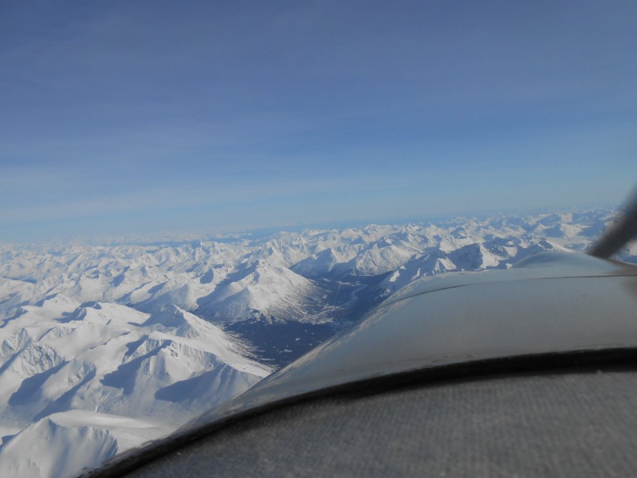
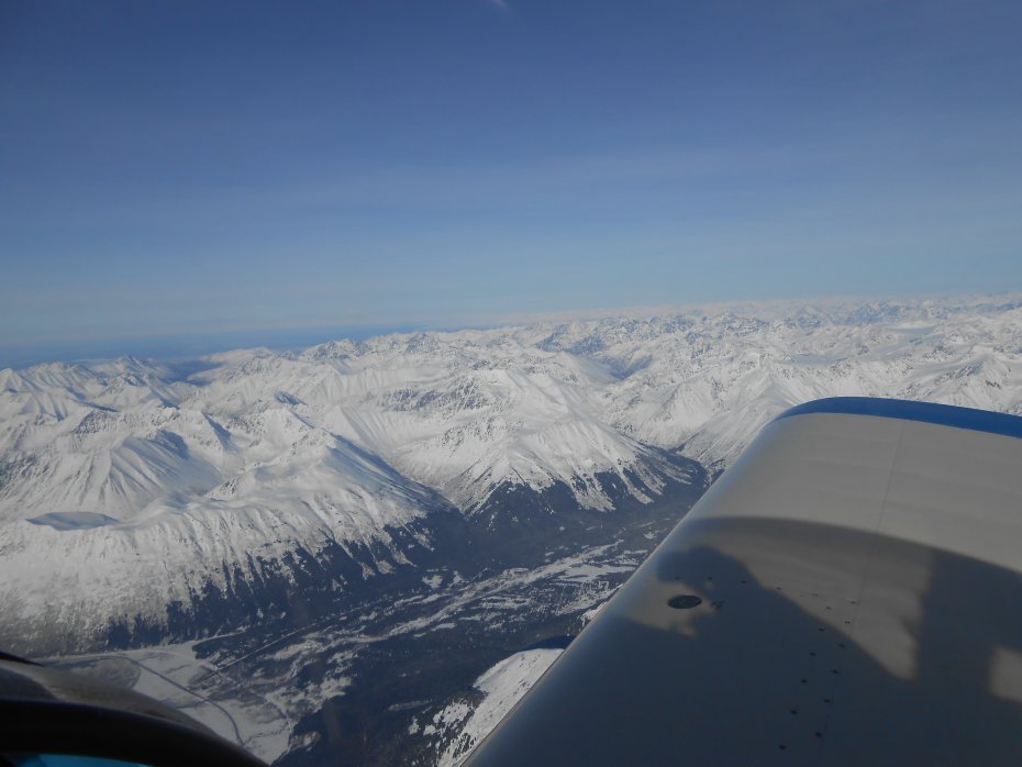
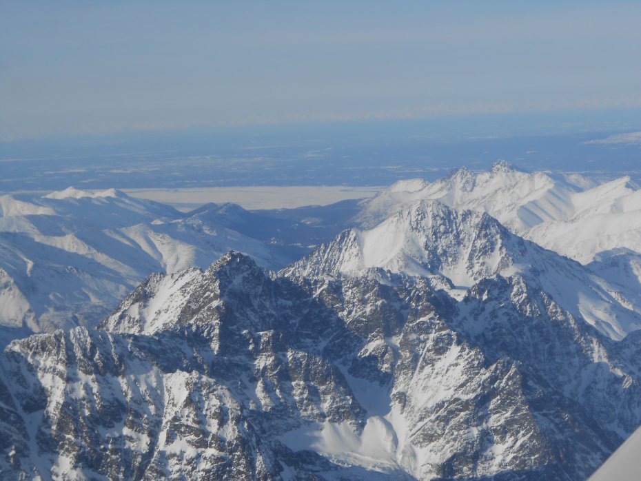
Here is a photo of my favorite mountain biking area. You can see the trail heading towards the main Resurrection Trail from Hope, Alaska to Cooper Landing. The section of the trail you can see is called Devils Pass. It is a ten mile hill climb to where it ties into the main trail! I had a bad accident several years ago, shattered my left collar bone into 32 pieces. Crashed about 2-miles from the trail head, had to walk out, could not control my bike when trying to ride it out!
This adventure is just getting started. More to follow!
Best regards,
Mike Bauer
Took lots of photos, and wouldn't you know it; camera settings were all messed up. Photos didn't turn out at all. Today was cloudy in spots, decided to fly a shorter route and get some photos anyway.
Warning, this thread will have photos, more photos and lots more photos of what it looks like to fly from Kenai to Knik Glacier. The route I chose was about as safe as it could be. Tried to follow roads, known places where people snow machine, along the Alaska Rail Road system, and finally passes where help might be available. Once you see the mountains I was flying over you'll understand.
I used to fly Huey helicopters for the Alaska Army National Guard in the mid 1980's. Flew these routes several times.
The following photos will show different views of the same locations, going to and returning from. A few photos will be called Location Photos. Took a photo of my Garmin Aera 660 to show what /where at when taking some of them.
2300 RPM and 11,500 ft altitude! At turn around point climbed to 12,500 until starting my descent for Kenai.
Ok, yesterday's route was longer. Here is a screenshot after the flight was over:
Here are a couple of screenshots of todays shortened route. Note mileage difference?
Here is a little closer view:
Heading into the Kenai Mountains, following the Sterling Hwy, Hidden Lake is the frozen lake in the distance with Islands. Each Island has a campground, great place to camp, careful with kids though, steep sides to water and no beach in most places:
Might as well show where I'm headed. Can you see the higher mountains in the center way off in the distance? Will take a zig-zag pattern showing the different views on the way!
Today was cloudy and warmer, yesterday it was really cold.
This photo shows the Northern edge of the Harding Icefield. Already have a photo trip of this area from last year. Vlad stopped in and we flew it while he was here.:
Here is the Kenai Lake near Cooper Landing, Porcupine Island is visible:
Still following the Sterling Hwy. Turn to the North as it heads towards the Seward "Y". The Y is to the right not in view, however the straight-line you can see is the power lines to Anchorage, the Hwy you can now see is called the Seward Hwy, it travels along several lakes. The lake you can see in the distance is called Summit lake, yes, this is the high point of the road to Anchorage.
Here is a photo of my favorite mountain biking area. You can see the trail heading towards the main Resurrection Trail from Hope, Alaska to Cooper Landing. The section of the trail you can see is called Devils Pass. It is a ten mile hill climb to where it ties into the main trail! I had a bad accident several years ago, shattered my left collar bone into 32 pieces. Crashed about 2-miles from the trail head, had to walk out, could not control my bike when trying to ride it out!
This adventure is just getting started. More to follow!
Best regards,
Mike Bauer
Last edited: