N941WR
Legacy Member
Hurricane Isaac canceled our planes to visit my wife?s grandmother in Oklahoma. So, the sun came up on Saturday of Labor Day weekend with no plans. After a leisurely breakfast we decided a trip to the beach was in order. After much discussion, we deiced to head to W95, otherwise known as Ocracoke Island, located on North Carolina?s Outer Banks, for lunch.
256 Nautical from our home airport would make for a nice flight. The only issue is there is no fuel available at W95. No big deal, throttled back the -9 can make it there and back without refueling. (Never mind the fuel flow, I have yet to calibrate it.)
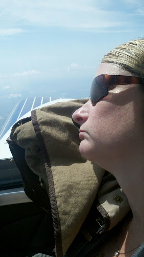
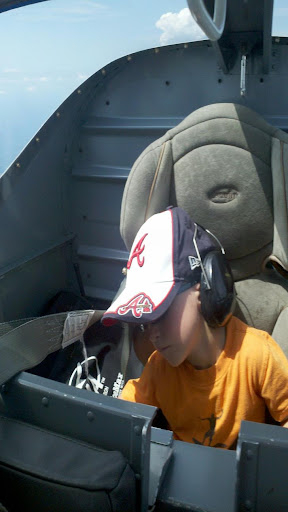
The flight out was uneventful, with my wife and son both napping, which is typical.
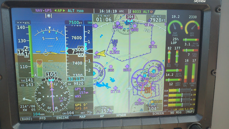
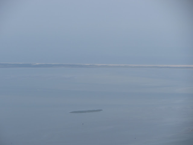
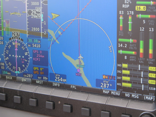
The last bit of the flight is out over the sound and through a restricted area. Flight following is helpful (practically a requirement) in navigating the airspace along the cost. The restricted area and MOAs were cold, so we flew directly to the island, seen off in the distance in this photo. My wife now understands why JFK junior didn?t complete his last flight.
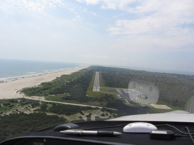
Here we are on final to Ocracoke Island. I stayed high and then close to the airport, just in case, thus I had to slip it down to the runway. Man, these RV?s are sure good at slipping!
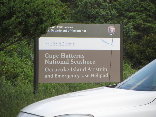
Down safe and sound, now to find a place to eat.
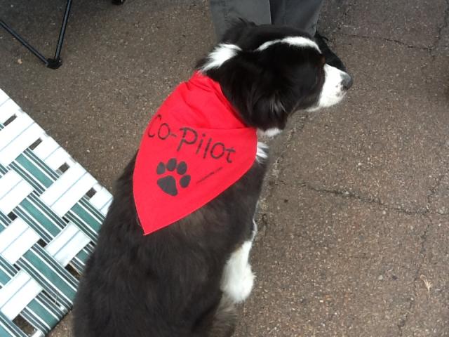
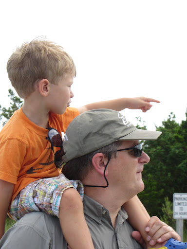
Once on the ground, my navigator was quick to point the way.
Howard?s Pub is a nice place to eat. They monitor the UNICOM frequency and will send a golf cart to pick you up.

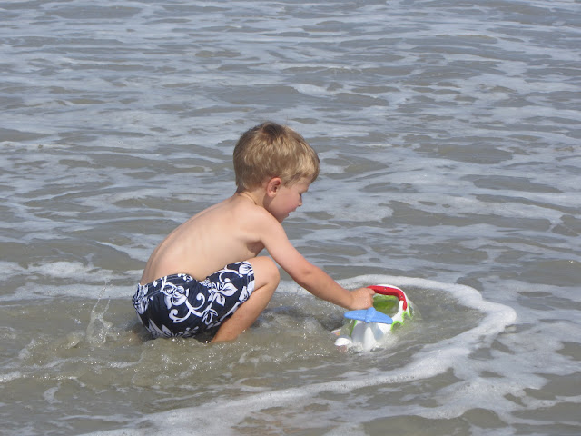
After lunch the Mini-Me played in the water. He even recreated The Miracle on the Hudson.
The flight home started out normal. Take off on 24 behind a Cessna 182 and in front of a Piper Arrow. They both took off and did a downwind departure to gain altitude prior to contacting Cherry Point for flight following. With the RV, I was at pattern altitude by the time I turned downwind and 3,000? before leaving the island.
Just east of Charlotte?s Class Bravo my son tells us he has to go ?potty?. As I?m trying to figure out which airport we are going to divert to, Charlotte Approach calls to tell us that the storm we had been watching on XM wasn?t going to clear our home airport for 45 minutes.
With that news, we diverted to Rowan County (KRUQ) where we topped off and waited for the storm to clear. The storm continued to grow in size until the leading edge reached RUQ, at which time I was talking to a friend on the phone who looked up the storm on the computer. He suggested we depart immediately and head north to get around the monster cell.
My friend?s suggestion was a good one. We took off in light rain, flew around the storm in clear air and landed at our home airport in light rain. By the time we had the airplane in the hangar the sun came out. Driving home, towards the storm I was thankful we didn?t wait it out at Rowan County because there were a number of trees and branches that had been knocked down due to the high wind.
256 Nautical from our home airport would make for a nice flight. The only issue is there is no fuel available at W95. No big deal, throttled back the -9 can make it there and back without refueling. (Never mind the fuel flow, I have yet to calibrate it.)
The flight out was uneventful, with my wife and son both napping, which is typical.
The last bit of the flight is out over the sound and through a restricted area. Flight following is helpful (practically a requirement) in navigating the airspace along the cost. The restricted area and MOAs were cold, so we flew directly to the island, seen off in the distance in this photo. My wife now understands why JFK junior didn?t complete his last flight.
Here we are on final to Ocracoke Island. I stayed high and then close to the airport, just in case, thus I had to slip it down to the runway. Man, these RV?s are sure good at slipping!
Down safe and sound, now to find a place to eat.
Once on the ground, my navigator was quick to point the way.
Howard?s Pub is a nice place to eat. They monitor the UNICOM frequency and will send a golf cart to pick you up.
After lunch the Mini-Me played in the water. He even recreated The Miracle on the Hudson.
The flight home started out normal. Take off on 24 behind a Cessna 182 and in front of a Piper Arrow. They both took off and did a downwind departure to gain altitude prior to contacting Cherry Point for flight following. With the RV, I was at pattern altitude by the time I turned downwind and 3,000? before leaving the island.
Just east of Charlotte?s Class Bravo my son tells us he has to go ?potty?. As I?m trying to figure out which airport we are going to divert to, Charlotte Approach calls to tell us that the storm we had been watching on XM wasn?t going to clear our home airport for 45 minutes.
With that news, we diverted to Rowan County (KRUQ) where we topped off and waited for the storm to clear. The storm continued to grow in size until the leading edge reached RUQ, at which time I was talking to a friend on the phone who looked up the storm on the computer. He suggested we depart immediately and head north to get around the monster cell.
My friend?s suggestion was a good one. We took off in light rain, flew around the storm in clear air and landed at our home airport in light rain. By the time we had the airplane in the hangar the sun came out. Driving home, towards the storm I was thankful we didn?t wait it out at Rowan County because there were a number of trees and branches that had been knocked down due to the high wind.