In Eastern Europe there is no APRS. But there is very strong desire to create a network. Airplane park is expanding, GA-friendly legislation is under construction and pilots like the idea of low cost trackers.
I was asked by a knowledgeable and capable gentleman couple of questions I would like to post here. Though I educated myself on the subject and will be installing a tracker on my RV, I am not sure I know precise answers.
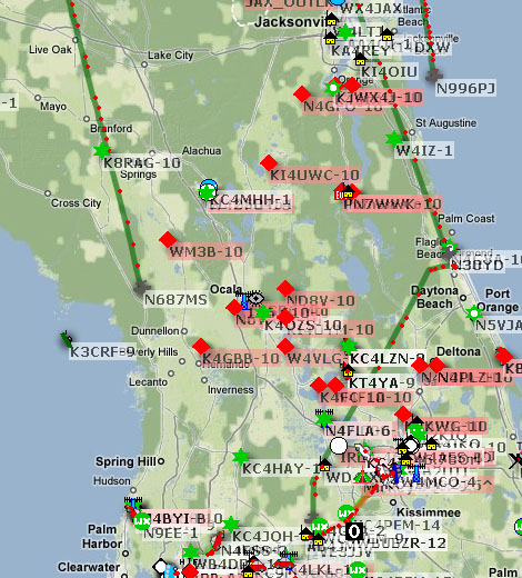
Those who have their own iGates - at what maximum range you were able to receive YOUR beacons? What altitude were you flying? I would like to know practical digits if any.
What's your coupled (home station and airborne tracker) hardware technical data? Power, antenna etc? Pictures of typical home stations would be excellent to see.
How much internet traffic do you use while running iGate?
Sam, Mike, Ted, Brett your input is very valuable. Others APRofesSors' help appreciated.
What would be your suggestion for pioneers ready to conquer undisturbed airband in low populated area?
I was asked by a knowledgeable and capable gentleman couple of questions I would like to post here. Though I educated myself on the subject and will be installing a tracker on my RV, I am not sure I know precise answers.
Those who have their own iGates - at what maximum range you were able to receive YOUR beacons? What altitude were you flying? I would like to know practical digits if any.
What's your coupled (home station and airborne tracker) hardware technical data? Power, antenna etc? Pictures of typical home stations would be excellent to see.
How much internet traffic do you use while running iGate?
Sam, Mike, Ted, Brett your input is very valuable. Others APRofesSors' help appreciated.
What would be your suggestion for pioneers ready to conquer undisturbed airband in low populated area?
Last edited:

 I have a routine running on the APRS server to move the log files over to my webserver and I turned on directory browsing for you to be able to file list the directory. With this you can now go to