RudiGreyling
Well Known Member
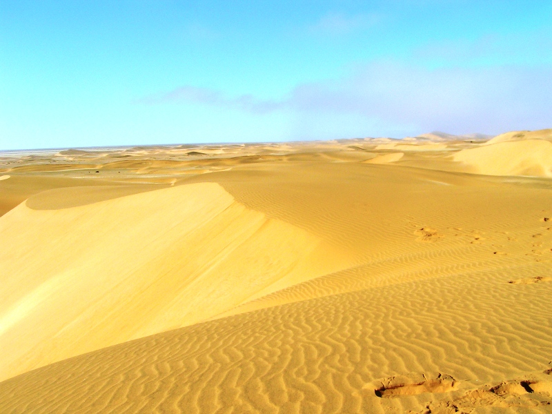
Well this was my 2nd long RV trip. Cross the South African Borders to Namibia, a land of many contrast, big watery swamps, to salt lakes, to huge fresh water lakes and then barren desserts.
Executive Summary:
Here is the Google Earth Route File, for your Google Earth viewing pleasure
http://www.rudigreyling.com/pictures/rv7_namib_2009/google_earth_route.kmz
Here is a picture of our anticipated route.
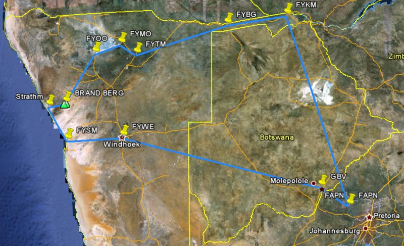
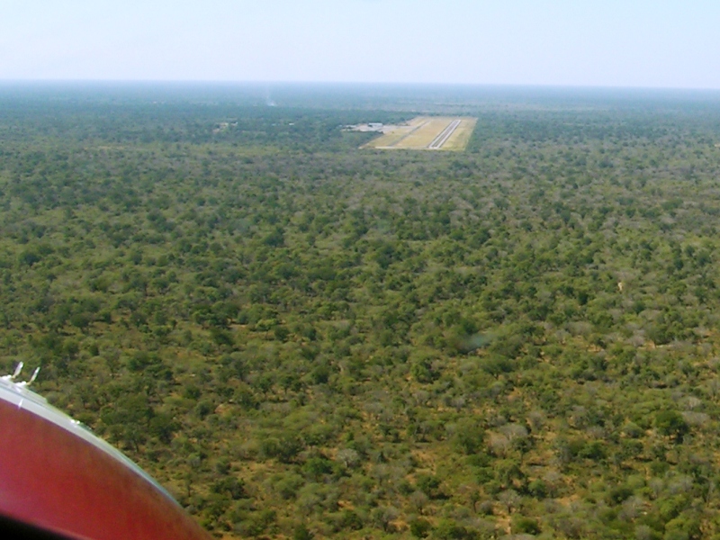
Day 1 (17 May): Home -> FAPN (Pilansberg) -> FYKM (Katima Mulilo): Stay 2 nights and refuel
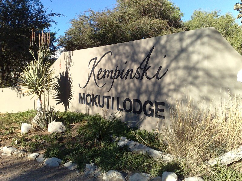
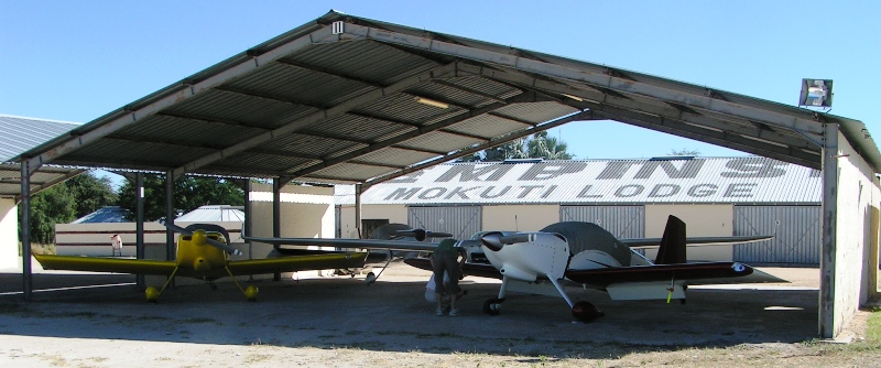
Day 3 (19 May): FYKM (Katima Mulilo) -> FYTM (Tsumeb) Refuel -> FYMO (Mokuti): Stay 2 nights
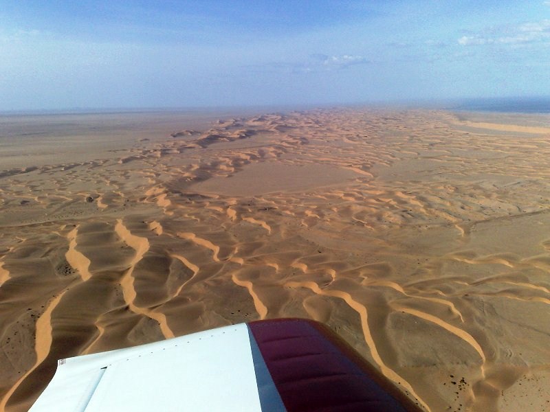
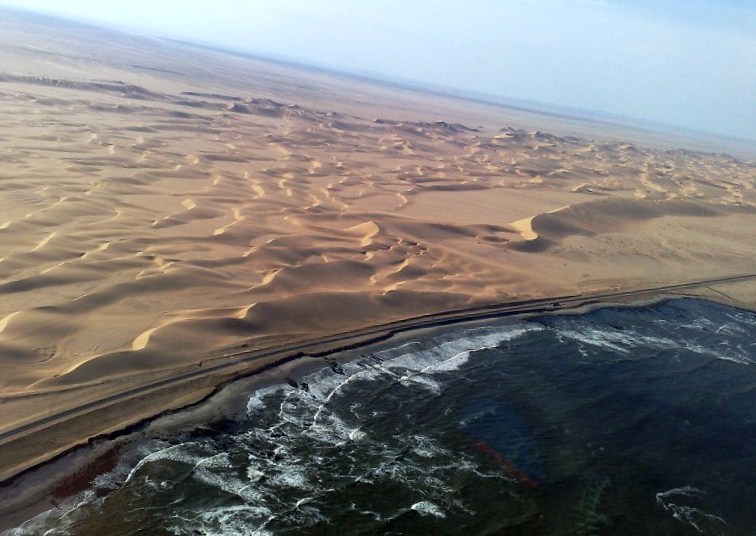
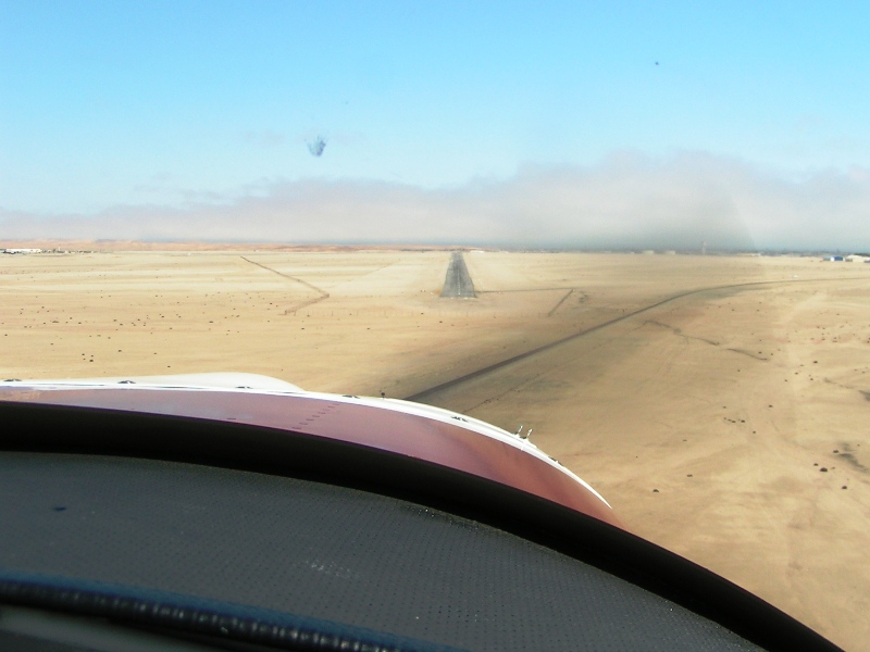
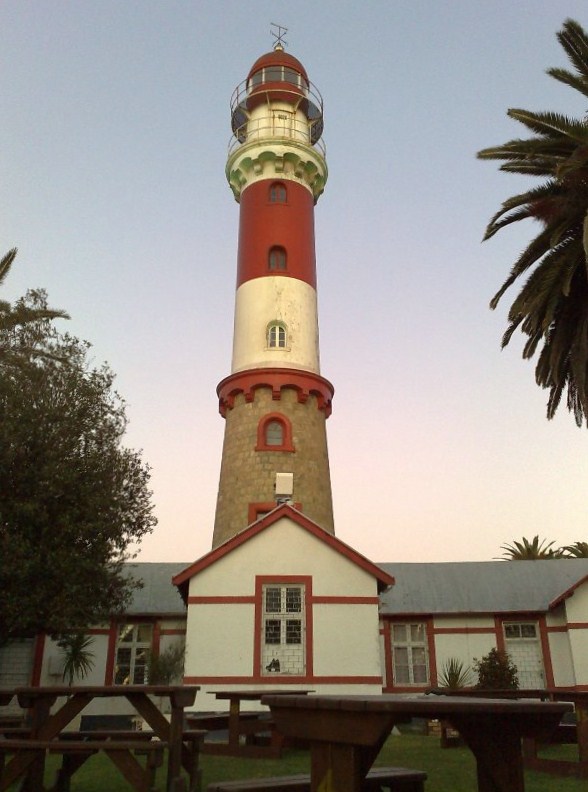
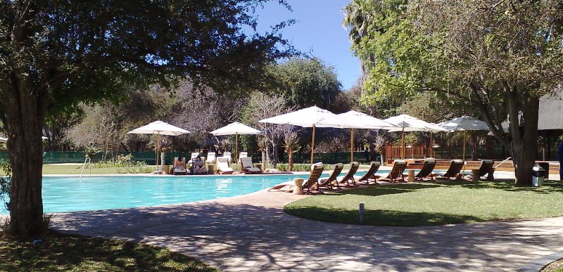
Day 5 (21 May): FYMO (Mokuti) -> Scenic route -> FYSM (Swakop): Stay 2 nights and refuel
Day 7 (23 May): FYSM (Swakop) -> FYWE (Aeros) Refuel -> GBV -> FAPN (Pilansburg) -> Home
For those that are interested can see our tracks, via Cell phone GPS tracker, it is FREE. Isn?t technology great?
http://www.vfrplanner.org/app/nav/tracker/index.htm
Then click on VFR TRACKER MAP.
You need to register to see the tracks?look out for the RV7 tracks from the 17th of May onwards.
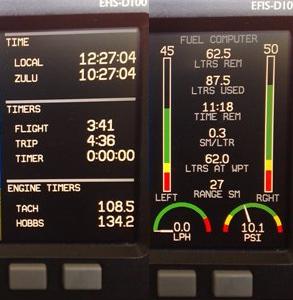
Total Distance Travel: 2500 sm / 4000 km, with +/- 16 Hours of flying.
Weather played along, blue skies, no thunder storms, no dust storms, and the coastal fog stayed away from the airfields.
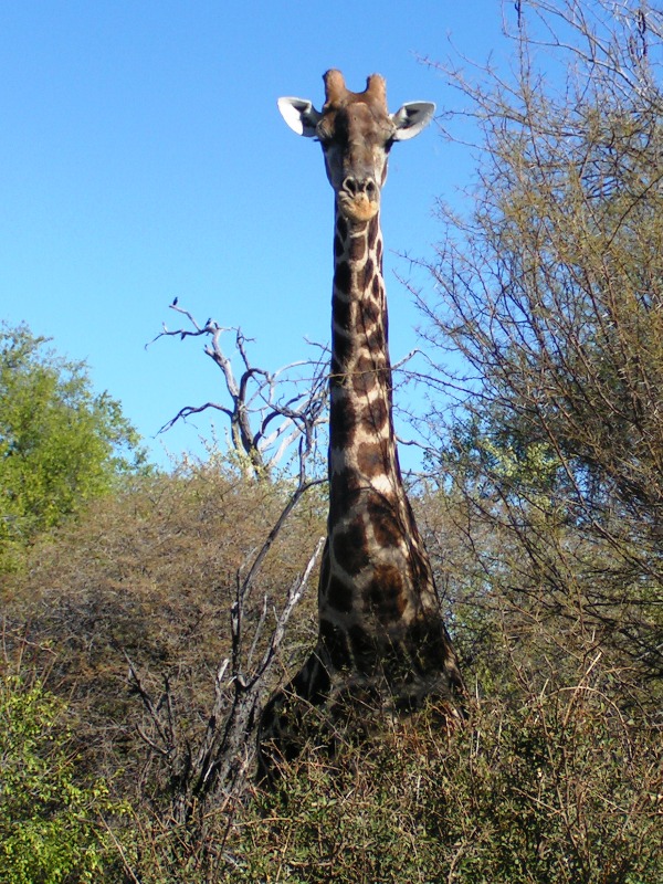
This is my first time in Namibia and it was splendid. The great untouched country. Sometimes while flying you look and can?t see signs of civilization, you are glad your backup buddy is sitting somewhere on your wingtip loose formation.
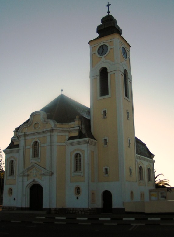
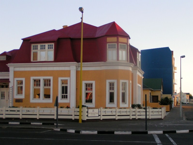
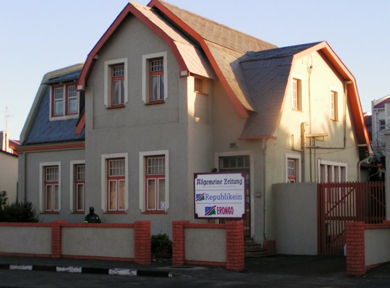
Below are a couple of pictures and write-ups of trip day 1 & 2
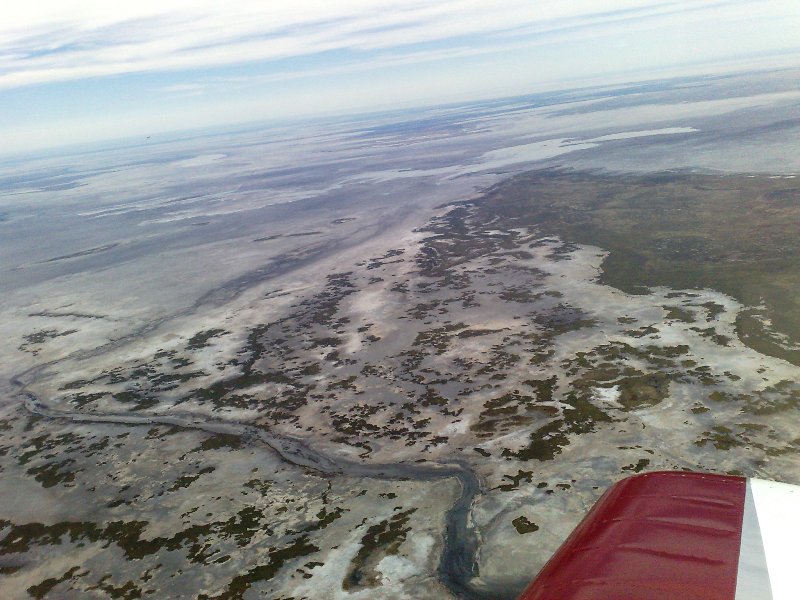
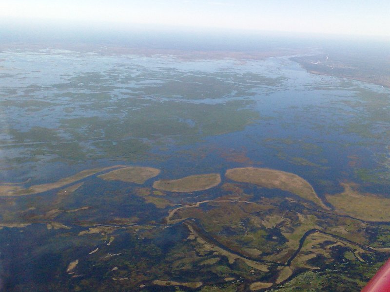
DESTINATION 1: CAPRIVI
http://en.wikipedia.org/wiki/Caprivi_Region
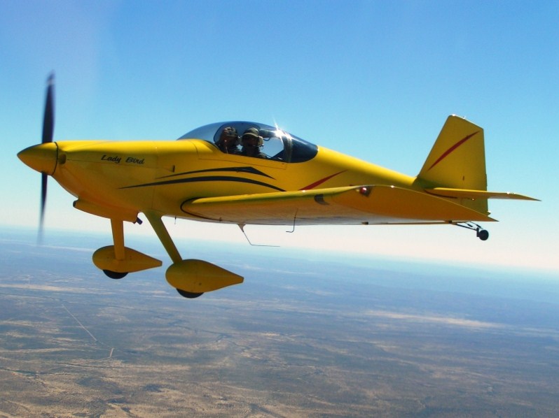
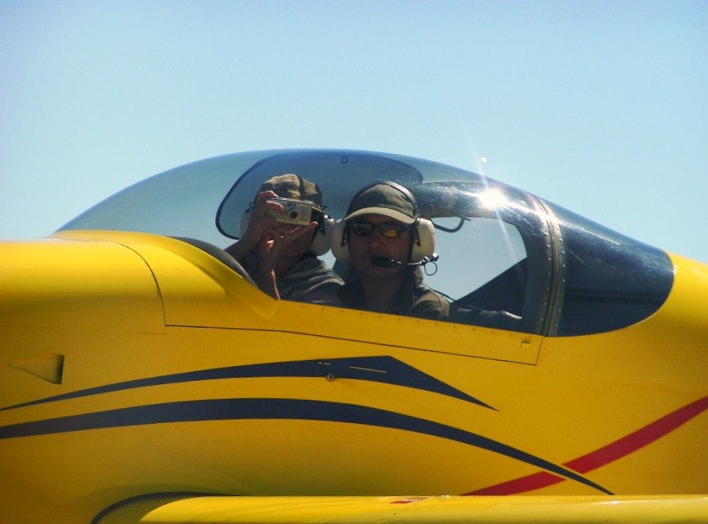
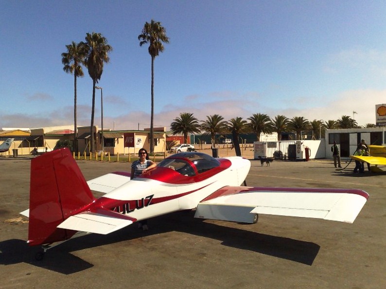
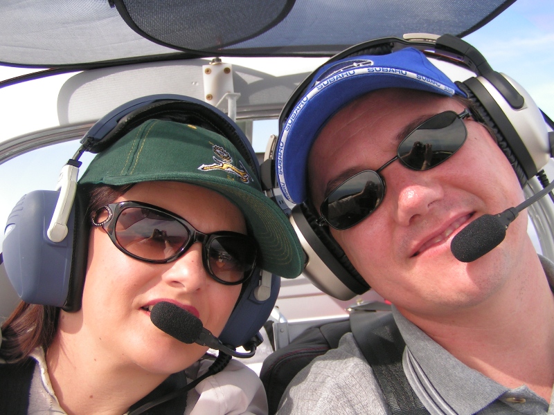
My wife and I set of early from FASI to meet up wing wingman at FAPN to clear customs and fill up.
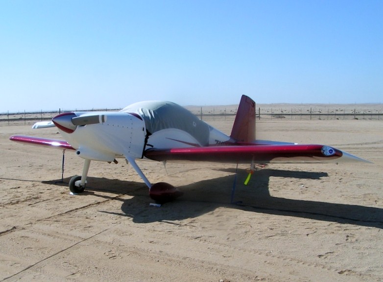
Anxiously ready for the trip:
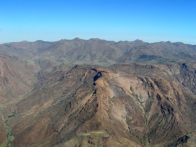
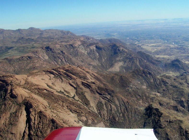
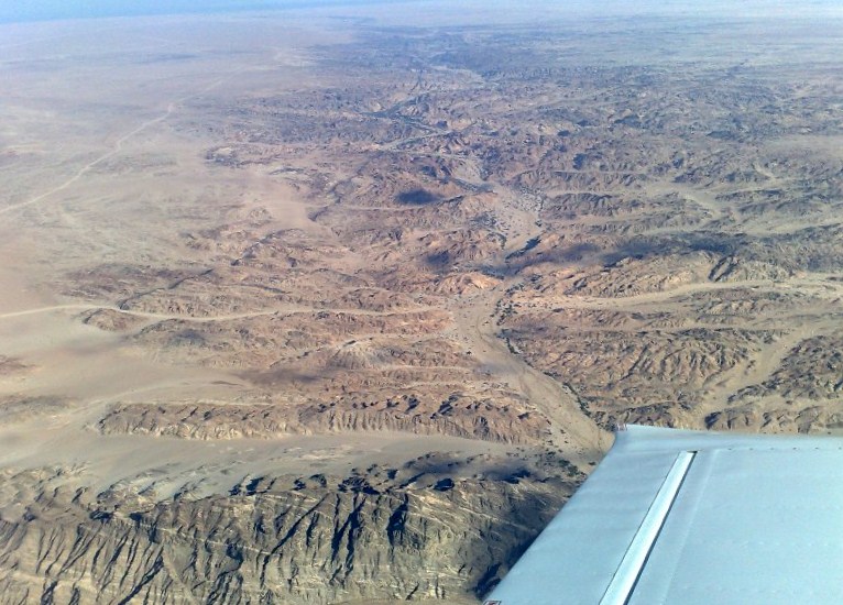
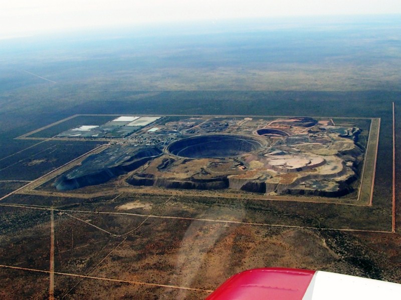
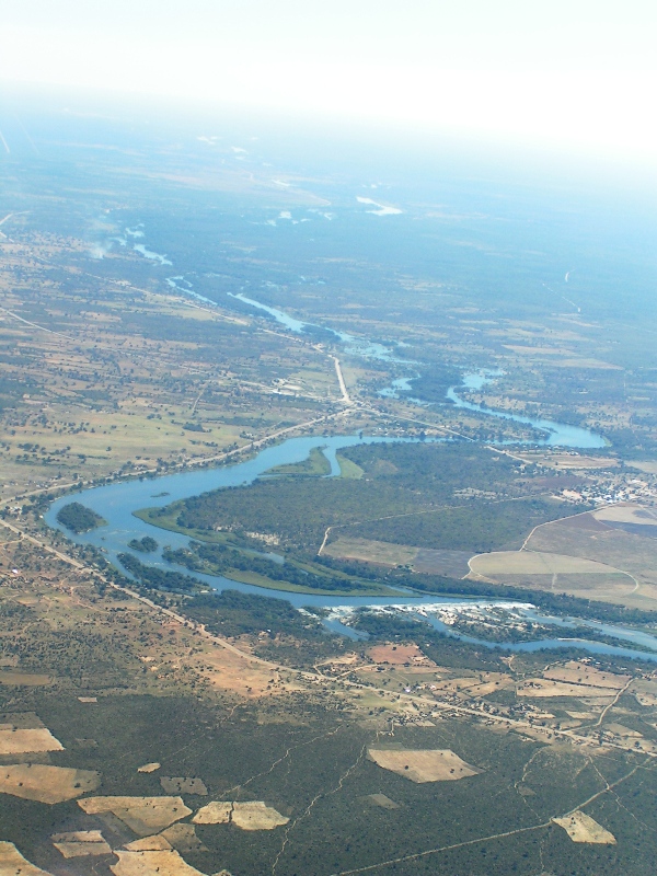
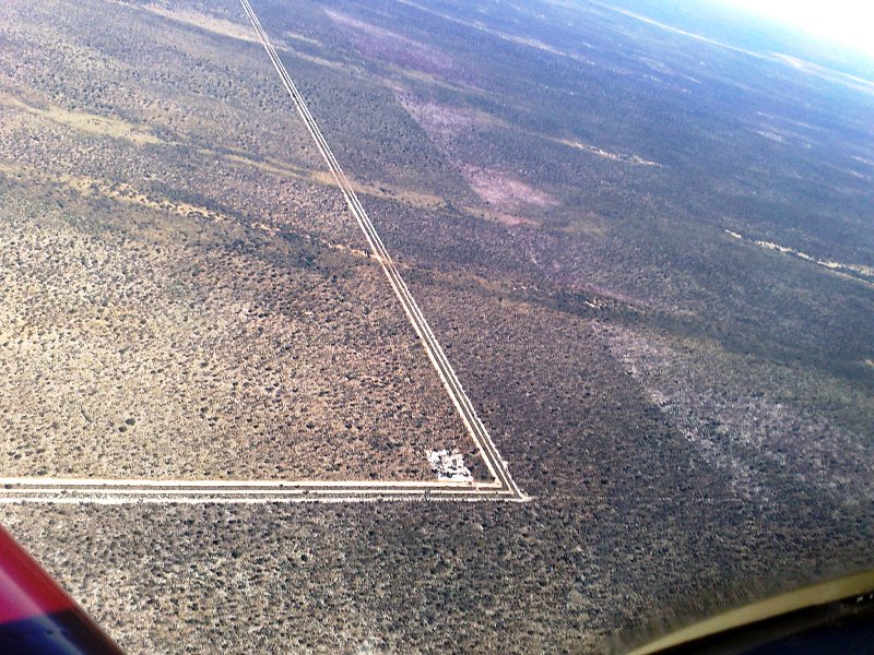
Another Kimberly hole somewhere over Botswana. Civilization gets sparse pretty quickly over Botswana, just the mines bring some activity
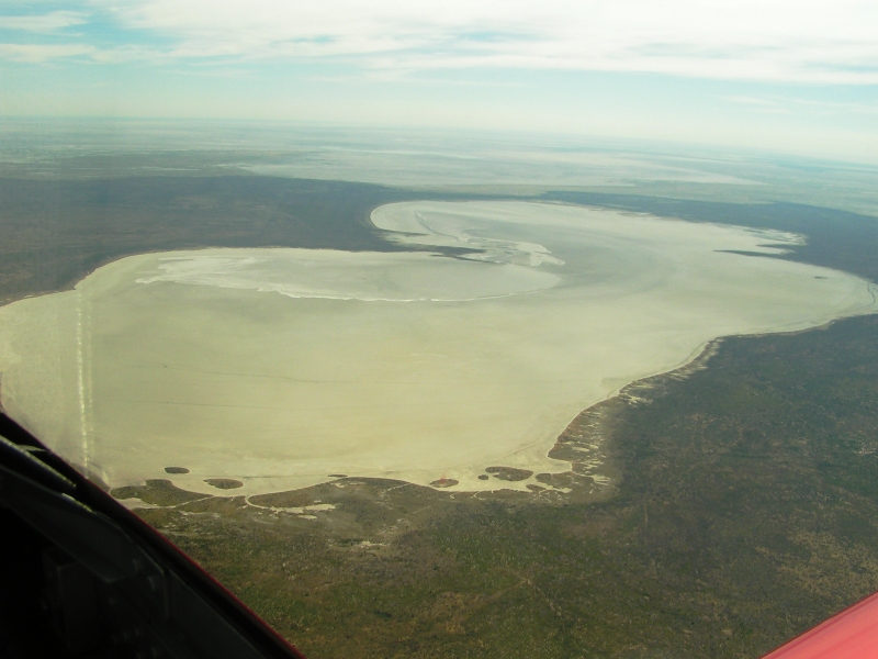
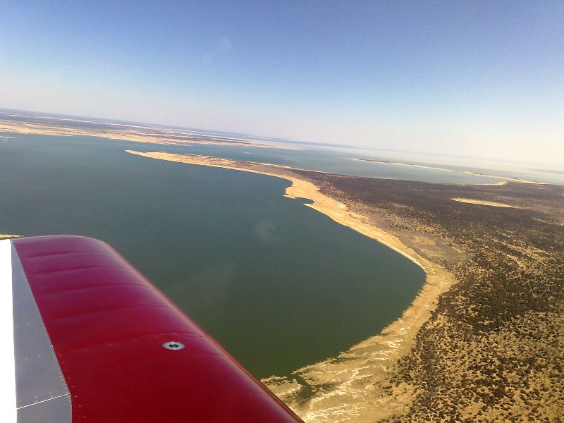
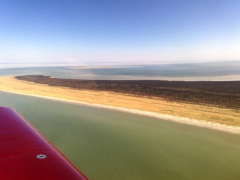
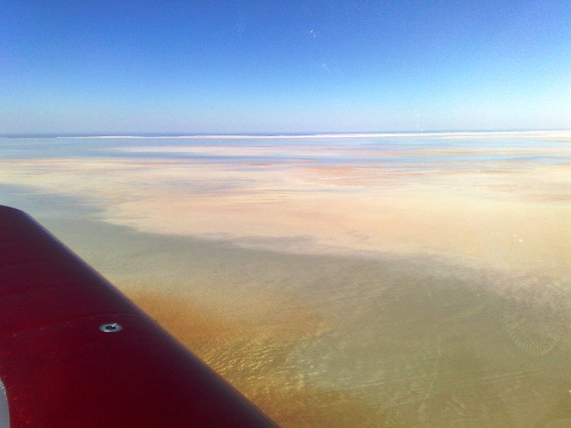
Over the Makgadigadi Salt Pans:
....
Executive Summary:
Here is the Google Earth Route File, for your Google Earth viewing pleasure
http://www.rudigreyling.com/pictures/rv7_namib_2009/google_earth_route.kmz
Here is a picture of our anticipated route.
Day 1 (17 May): Home -> FAPN (Pilansberg) -> FYKM (Katima Mulilo): Stay 2 nights and refuel
Day 3 (19 May): FYKM (Katima Mulilo) -> FYTM (Tsumeb) Refuel -> FYMO (Mokuti): Stay 2 nights
Day 5 (21 May): FYMO (Mokuti) -> Scenic route -> FYSM (Swakop): Stay 2 nights and refuel
Day 7 (23 May): FYSM (Swakop) -> FYWE (Aeros) Refuel -> GBV -> FAPN (Pilansburg) -> Home
For those that are interested can see our tracks, via Cell phone GPS tracker, it is FREE. Isn?t technology great?
http://www.vfrplanner.org/app/nav/tracker/index.htm
Then click on VFR TRACKER MAP.
You need to register to see the tracks?look out for the RV7 tracks from the 17th of May onwards.
Total Distance Travel: 2500 sm / 4000 km, with +/- 16 Hours of flying.
Weather played along, blue skies, no thunder storms, no dust storms, and the coastal fog stayed away from the airfields.
This is my first time in Namibia and it was splendid. The great untouched country. Sometimes while flying you look and can?t see signs of civilization, you are glad your backup buddy is sitting somewhere on your wingtip loose formation.
Below are a couple of pictures and write-ups of trip day 1 & 2
DESTINATION 1: CAPRIVI
http://en.wikipedia.org/wiki/Caprivi_Region
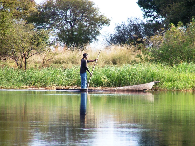
The Caprivi is a heavily tropical area, with high temperatures and much rainfall during the December-to-March rainy season, making it the wettest region of Namibia. The terrain is mostly made up of swamps, floodplains, wetland, and woodland.
My wife and I set of early from FASI to meet up wing wingman at FAPN to clear customs and fill up.
Anxiously ready for the trip:
Another Kimberly hole somewhere over Botswana. Civilization gets sparse pretty quickly over Botswana, just the mines bring some activity
Over the Makgadigadi Salt Pans:
....
Last edited:


")