Louise Hose
Well Known Member
January 28, 2009, was one of the happiest days of my life. While skiing on Mammoth Mountain, Paul?s first experience in the Eastern Sierra Nevada, he turned to me and said, ?This area is fantastic! Do you think there is an airpark near here that we could retire to?? I knew in an instant that my dream of retiring to the American West would come true. Paul had been hooked! That evening, I researched airparks in the Reno-Carson City area and the following Saturday, on the way back to Houston, we visited Dayton Valley Airpark. After that visit and some due diligence, we knew our future would be at Dayton.
This visit to the area started from my family cabin at Big Bear City, California. As it was going to be well below zero Celsius at our flight elevation (and there was no rear seat headset for the trip), Paul insisted on flying the Valkyrie and I was stuck in the frigid backseat of the -8. (Personally, I think every RV-8 owner should relinquish the pilot?s seat and sit in the back of their plane whenever temperatures drop below 0C. You guys don?t know what you?re missing!) I occupied my time by taking photos.
As our flight was on Sunday, Paul called Joshua Approach and got a clearance through the Edwards airspace, allowing us to fly nearly over the famous dry lake.
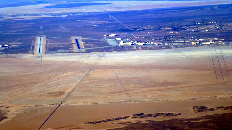
Edwards Air Force Base from the east
As we headed north (and west of the China Lake airspace), I noted an epidemic of solar farms. Good to see!
As a geologist, I couldn?t resist shooting photos of the Garlock Fault, a left-lateral strike-slip fault that intersects the right-lateral San Andreas Fault to form the Antelope Valley.
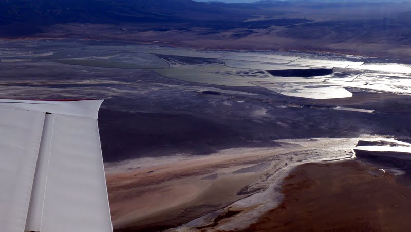
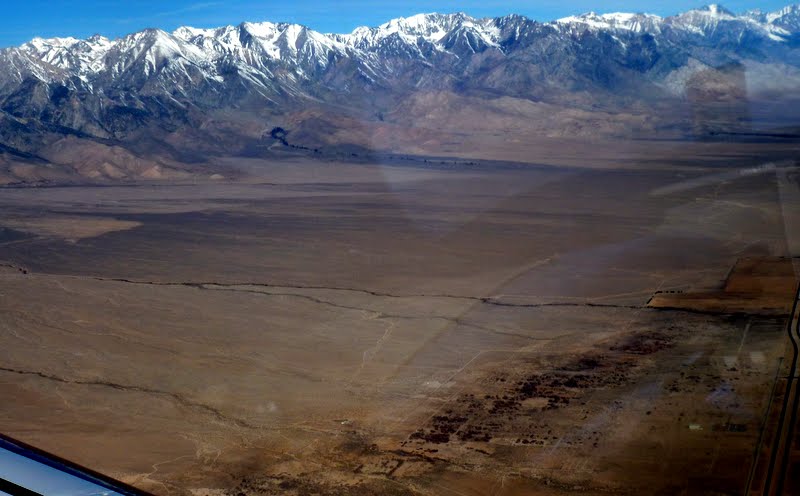
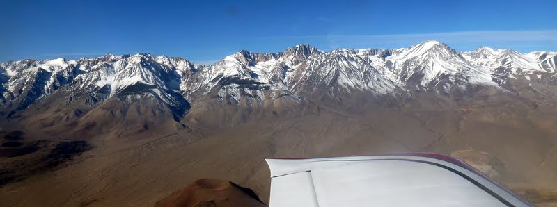
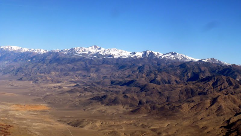
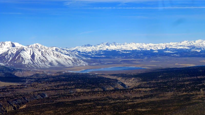
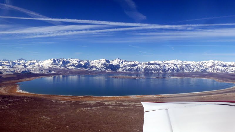
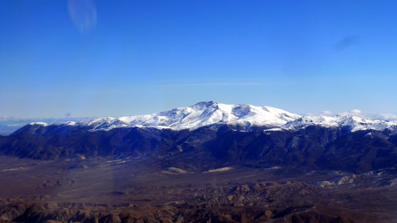
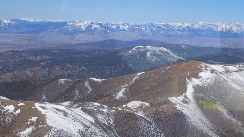
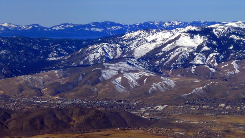
The contrasting but spectacular scenery of the Mojave Desert and the Southern Sierra Nevada appeared and faded as the miles passed under us.
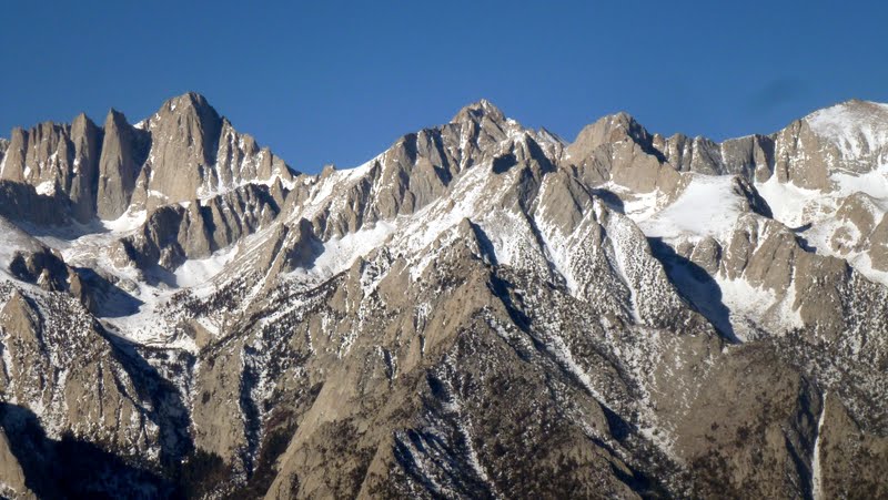
Walker Pass of the Southern Sierra Nevada from the east
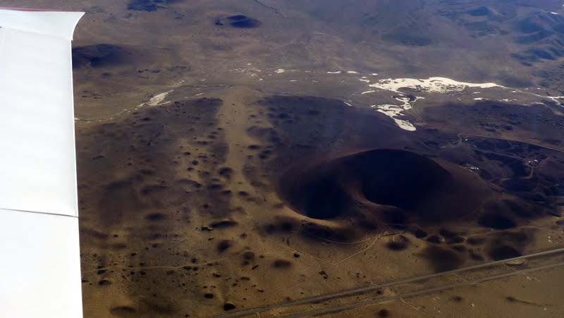
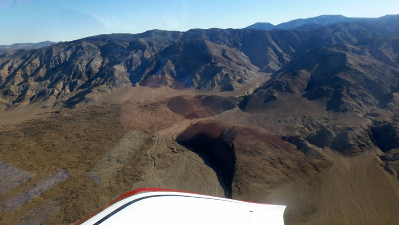
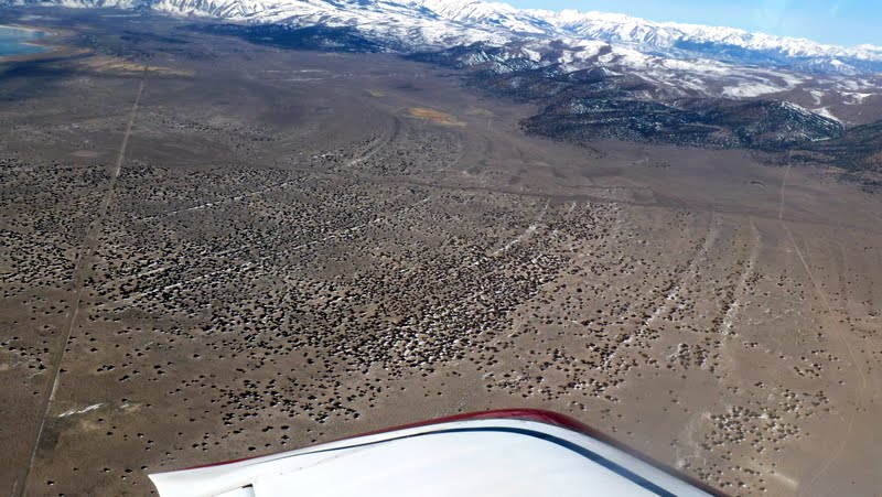
Indian Wells Valley lava flow viewed from the west
I]
This visit to the area started from my family cabin at Big Bear City, California. As it was going to be well below zero Celsius at our flight elevation (and there was no rear seat headset for the trip), Paul insisted on flying the Valkyrie and I was stuck in the frigid backseat of the -8. (Personally, I think every RV-8 owner should relinquish the pilot?s seat and sit in the back of their plane whenever temperatures drop below 0C. You guys don?t know what you?re missing!) I occupied my time by taking photos.
As our flight was on Sunday, Paul called Joshua Approach and got a clearance through the Edwards airspace, allowing us to fly nearly over the famous dry lake.
Edwards Air Force Base from the east
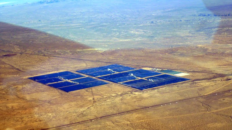
As we headed north (and west of the China Lake airspace), I noted an epidemic of solar farms. Good to see!
Solar farms populate this part of the Mojave Desert
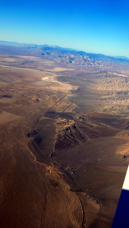
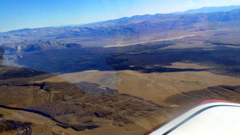
As a geologist, I couldn?t resist shooting photos of the Garlock Fault, a left-lateral strike-slip fault that intersects the right-lateral San Andreas Fault to form the Antelope Valley.
Garlock Fault extends to the southwest, forming the northwest side of the Antelope Valley
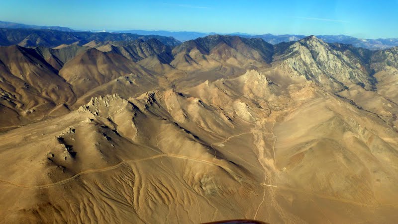
The contrasting but spectacular scenery of the Mojave Desert and the Southern Sierra Nevada appeared and faded as the miles passed under us.
Walker Pass of the Southern Sierra Nevada from the east
Indian Wells Valley lava flow viewed from the west