rzbill
Well Known Member
Hi Folks,
Looks like this is the season for posting pictures of trips out to the canyons so this is our record plus some storyline.
We planned to leave on Fri Oct 3 but an approaching (and consolidating) front yelled at us to get going on Thursday. We would either get through a hole or run up to it and get a hotel.

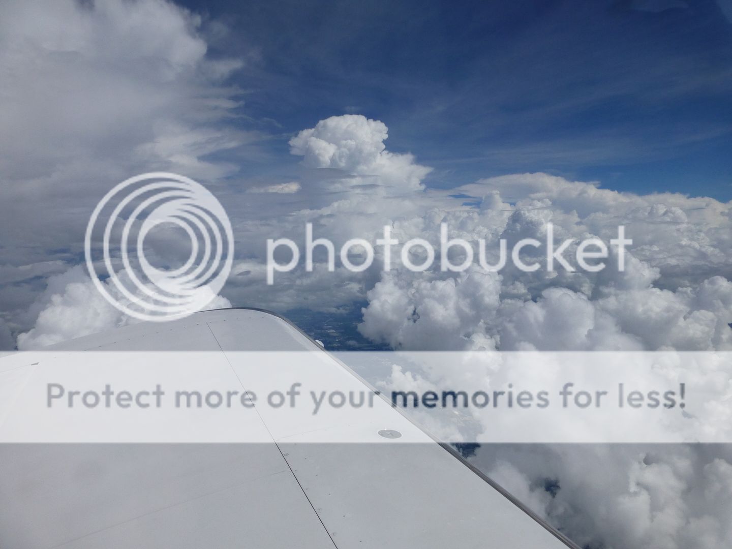
We took off from Asheville (AVL) and started running into buildups in mid Tennesee. We used cockpit weather to make some decisions and flew a few more hrs. I thought we were through it (see picture above) until I zoomed out the screen and saw a huge wall that was impossible to pass. We landed at Texarkana (TXK) and got a hotel. I wrung my hands as the storm downed trees and generally played havoc with the area. No damage although the plane had moved a couple of feet when we returned to the airport in the morning. The TXK tiedowns were the kind that attach to a cable running along the tarmac so the plane really is not fixed solid to the ground.
The next morning (Fri) we continued west for a stop at Abilene for LOE. We had a great time talking with the earlybirds to the fly-in. We left Saturday morning as many more RVs were arriving.
The next airport was Sierra Blanca (SRR), my first high altitude adventure at 6814 ft. A bit nervous but followed the rules and everything was fine. Glad the runways are long. Diane watched and called the EGTs for me on takeoff so I could tweak the mixture a bit on the roll (The run-up setting was slightly lean). Beautiful place nested in a saddle between two mountains.
West of SRR was honestly bleak and boring for 3 hrs. Albuquerque complained about my transponder. It worked everywhere else so I think it was not me. Especially since I have 2 outgoing signals. Xpder and Ads-B.
We finally got to something interesting.
METEOR CRATER

We turned north towards the Grand Canyon and I discovered something I had never heard of: The Strawberry Crater Wilderness Area. Its a group of big volcanic cinder cones. There were groups of foot launch hang gliders playing on them. The pics did not turn out well. Sorry.
Next treat was the Grand Canyon. I flew a route recommended here on VAF (starting at the little Colorado)

We landed at North Las Vegas (LVT), hotel, dinner, next morning snagged our car and went to Hoover Dam for a hat sighting. Get the full tour. The extra stops and stories are great.

The white coloration at the waters edge is from the high watermark from 1983. I think it is funny that they call it the "bathtub ring".

The next day we relaxed by the pool and then went out to the strip for the evening. Diane had never been to Vegas so I had to show her the Bellagio.

Looks like this is the season for posting pictures of trips out to the canyons so this is our record plus some storyline.
We planned to leave on Fri Oct 3 but an approaching (and consolidating) front yelled at us to get going on Thursday. We would either get through a hole or run up to it and get a hotel.

We took off from Asheville (AVL) and started running into buildups in mid Tennesee. We used cockpit weather to make some decisions and flew a few more hrs. I thought we were through it (see picture above) until I zoomed out the screen and saw a huge wall that was impossible to pass. We landed at Texarkana (TXK) and got a hotel. I wrung my hands as the storm downed trees and generally played havoc with the area. No damage although the plane had moved a couple of feet when we returned to the airport in the morning. The TXK tiedowns were the kind that attach to a cable running along the tarmac so the plane really is not fixed solid to the ground.
The next morning (Fri) we continued west for a stop at Abilene for LOE. We had a great time talking with the earlybirds to the fly-in. We left Saturday morning as many more RVs were arriving.
The next airport was Sierra Blanca (SRR), my first high altitude adventure at 6814 ft. A bit nervous but followed the rules and everything was fine. Glad the runways are long. Diane watched and called the EGTs for me on takeoff so I could tweak the mixture a bit on the roll (The run-up setting was slightly lean). Beautiful place nested in a saddle between two mountains.
West of SRR was honestly bleak and boring for 3 hrs. Albuquerque complained about my transponder. It worked everywhere else so I think it was not me. Especially since I have 2 outgoing signals. Xpder and Ads-B.
We finally got to something interesting.
METEOR CRATER

We turned north towards the Grand Canyon and I discovered something I had never heard of: The Strawberry Crater Wilderness Area. Its a group of big volcanic cinder cones. There were groups of foot launch hang gliders playing on them. The pics did not turn out well. Sorry.
Next treat was the Grand Canyon. I flew a route recommended here on VAF (starting at the little Colorado)

We landed at North Las Vegas (LVT), hotel, dinner, next morning snagged our car and went to Hoover Dam for a hat sighting. Get the full tour. The extra stops and stories are great.

The white coloration at the waters edge is from the high watermark from 1983. I think it is funny that they call it the "bathtub ring".

The next day we relaxed by the pool and then went out to the strip for the evening. Diane had never been to Vegas so I had to show her the Bellagio.

Last edited:


