What's new
Van's Air Force

Don't miss anything! Register now for full access to the definitive RV support community.

Experience with ADS-B Weather in the Mountain West?

Ironflight

VAF Moderator / Line Boy
Mentor
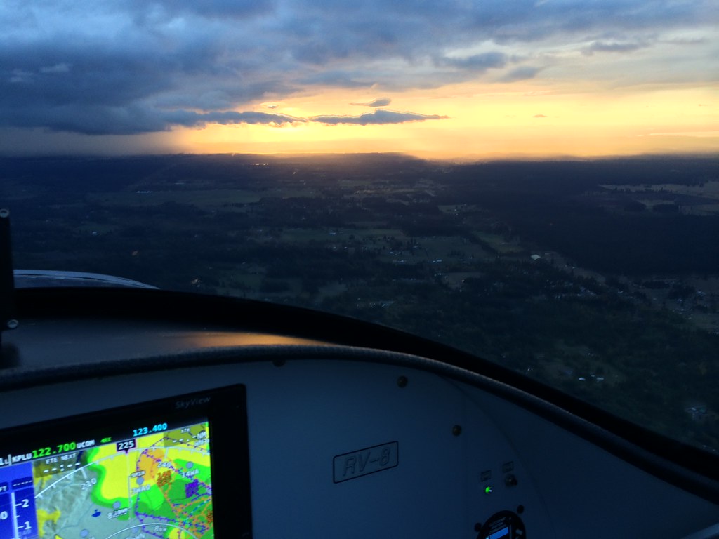
With the new Garmin Touch in the RV-6, we have decided not to (immediately) activate an XM subscription, since we have the GDL-29R ADS-B IN receiver as part of the system. I have been an XM weather user for close to ten years, and have always liked the fact that I get weather coming in before I take off - I can see what's going on as soon as we get powered up. I have been a bit leery of how well things would work in the mountains, and wonder what experience others have been having.

So far, I have made several trips to a neighboring airpark about 12 minutes away in another valley, as well as some test flights just orbiting at altitude in the Carson City, Minden area. I have found that first, I get no signal strength until I get about level with the local range tops (about 8500' msl), and second, I generally don't get METARs displayed unless I have been flying for about 15 minutes.

Curious what others have been seeing out here in the big hills of the west? Not specific to Garmin - any brands of ADS-B IN equipment.
 
We had ADSB installed when we visited you last summer. On the way home to north Texas we had excellent coverage for the whole route with the exception of about 30 minutes in the center of Nevada, east of Tonopah. We were cruising at 11.5 until we got east of the Sandia mountains. METARS are always up within a few minutes of aquiring the first ADSB station. Prior to visiting you we flew from home to Eastsound, WA and then down to Carson City and never lost coverage. ADSB has worked so well for me I canceled XM.

Martin Sutter
Building and flying RV's since 1988
 
ADS-B Coverage

I fly in western Colorado and find the coverage to be good if you get high enough. I need to climb about 2,000' over my home airport of Granby, CO to receive the weather. I have the Dynon ADS-B in 985 box. I did not have any previous weather so I really like whatever I can get.

One of the more interesting questions is why the FAA has pulled the coverage maps off their web site. They also refuse to give the specific locations of the ground transmitters. Here in the west where there are gaps in coverage due to the elevation and terrain blockage of the ground transmitters. This is a flight planning and safety of flight issue.

There are actually two altitude related issues. One is the above weather reception issue. The second is primary and secondary radar coverage that feeds back into the ground transmitters. So if you are receiving weather you may or may not receive retransmitted traffic.
 
adsb weather coverage

I was surprised at how well the ADSB weather did work out west in the mountain areas but there were numerous areas where there was no coverage. When we left Reno, we flew down to Bishop, CA and found no ADSB coverage in the Owens Valley in mid Sept. When we flew into Afton, Wyoming in June, that valley did not have any adsb coverage once we cleared the N-S ridge, even at 10.5k. As we flew from Glacier to San Juan Islands in Aug, there were several areas across that mountainous route where we lost coverage for a time. We have XM weather on the tablet and adsb on the GRT and will probably continue to run both for another year.
 
why FAA does not show locations

Maybe there is a security issue with GBT hardware. They are vulnerable and becoming more important in our airspace.
I get excellent coverage in SW Colorado, Northern AZ mountains and even Sierras if high enough. That's why OXY is as important as ADS-B
 
Much better now...

We've been flying out to Montana each summer/fall from Florida and the coverage has been better each year. One big difference is the number of towers one sees as getting further west on that route - perhaps 1 or 2 vs. 5 or 6 near denser population areas. Other than being down below the prevailing range lines, I don't think we were absent coverage once on the trip out & back in 2014.

Being terrestrial vs. sat based, it's inevitable that one will lose connection among the rocks...but that's not typically where Approach/Center is providing separation services. That's also where local conditions are more relevant to the flight than the wx at a location 30 miles away.

I don't find there to be much difference (from constant sat delivered wx info) when relying on ADS-B because I almost always have wifil or cell service up until the beginning of my flights and that most recent wx info remains available while I climb and await the ADS-B updates as they roll in. I'll bet I've almost always got the latest METAR report showing, given they are only updated hourly. (FYI I'm using an iPad, a FF Pro subscription and a Stratus II).

Here in Florida there is a 6-month period where having a current view of convective activity is very helpful. Very consistently, I find the local radar updates arrive every 6 mins, while the national ones seem to arrive every ~15 mins. This is just about what the system promises.

Dick, you might find the following thread of interest. It's principal contributor is John Collins and it answers lots of interesting Q's about ADS-B station locations: http://www.pilotsofamerica.com/forum/showthread.php?t=67935

Jack
 
Would someone care to share a screen shot of the ADS-B weather out west? :confused:

Perhaps one with a little action shown.
 
I fly out of KMEV. Similar experience to Ironflight over Minden, Carson City, Dayton and Fallon.
 
Back
Top